


Hill data: The Database of British and Irish Hills v18.6 (CC BY 4.0)Height751 m2,464 ft
Grid RefSH 80831 35187
OS MapOL18OS Explorer
AreaThe Arenigs
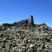
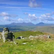
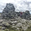
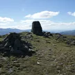
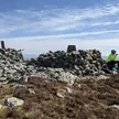
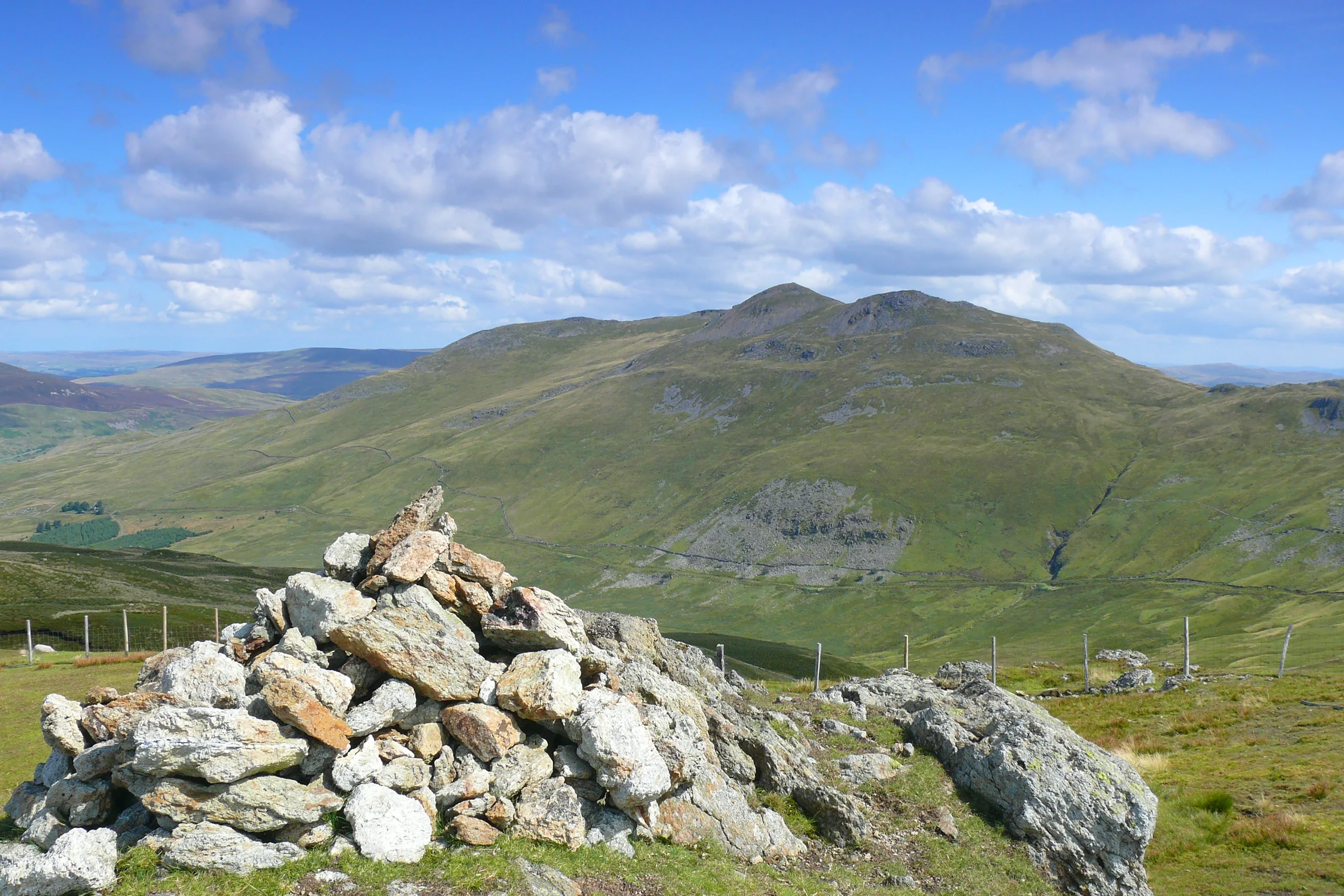
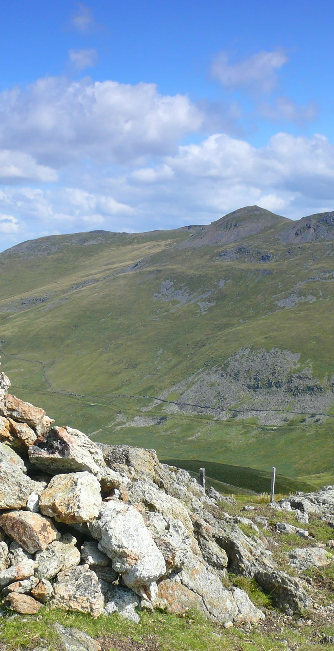
West of Arenig Fawr in the Arenig range, Moel Llyfnant rises to 751 m, with the twin-peaked Gallt y Daren at the end of its west ridge. A small cairn on one of the rocky outcrops in the summit area marks the top. Views of Arenig Fawr are excellent, and Rhobell Fawr and Dduallt can be picked out to the south.
New to the Pennants?Read our guide: What Are The Welsh Pennants?Rock & Ground
The summit area has rocky outcrops.
Summit Weather
Our Route
Distance6.7 mi10.8 km
Ascent510 m1,670 ft
Time3h 30mwalking
StartSH 8169 3937Grid reference of the start
DirectionsSafety: Routes are a guide only. Carry a map and compass and know how to use them, check the weather before you go, and turn back if in doubt. You use this route at your own risk.