


Hill data: The Database of British and Irish Hills v18.6 (CC BY 4.0)Height783.4 m2,570 ft
Grid RefSJ 07754 34665
OS Map255OS Explorer
AreaThe Berwyns
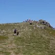
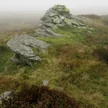
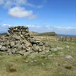
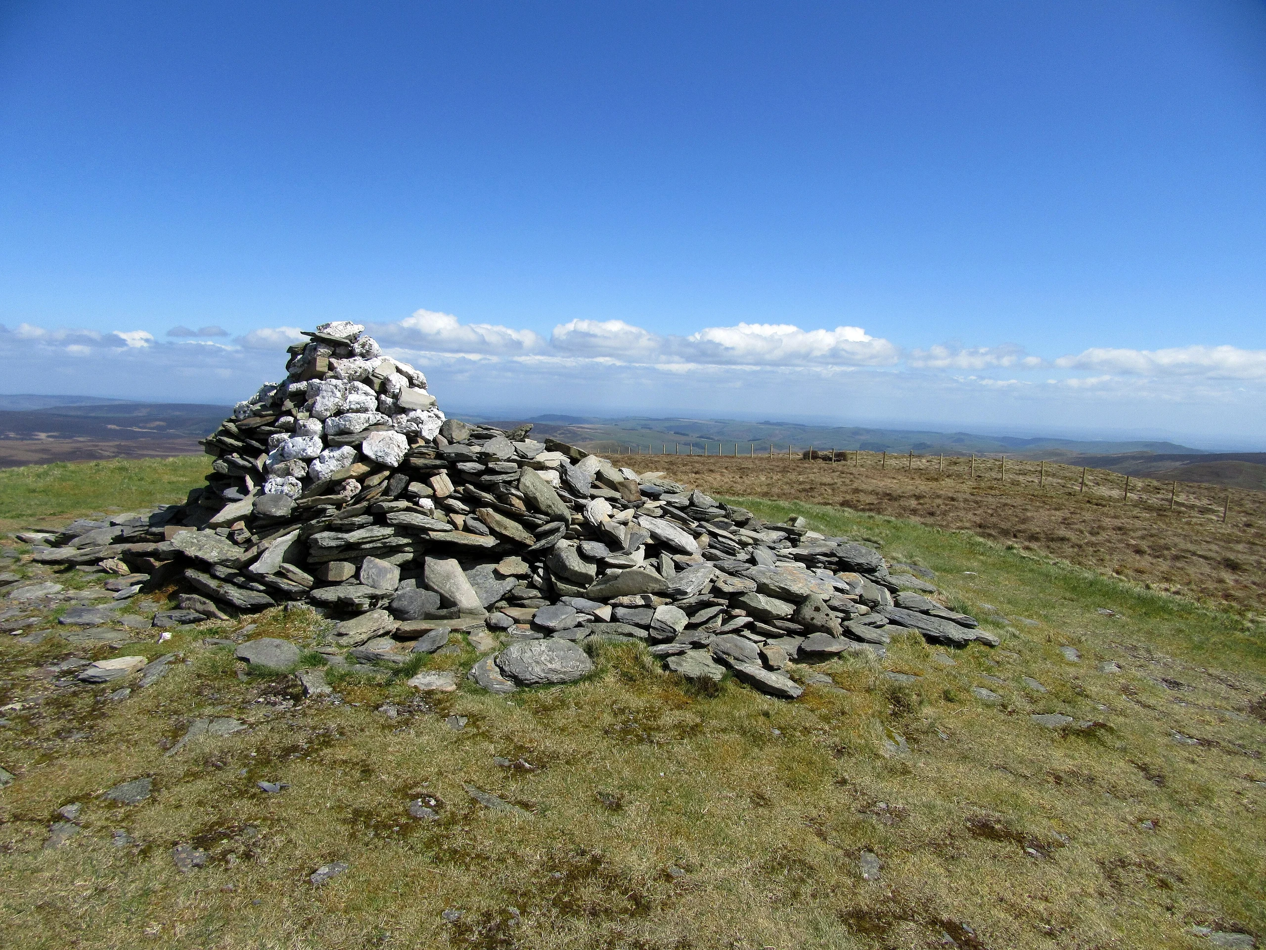
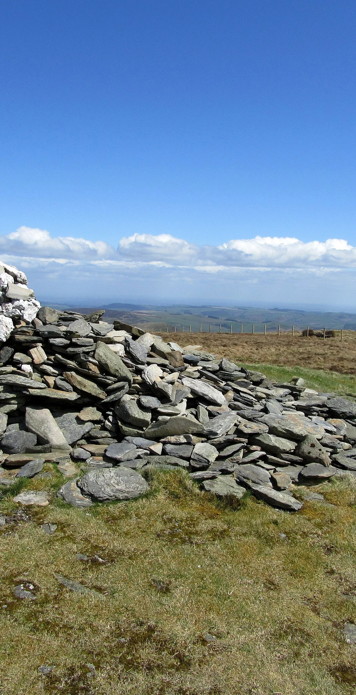
Its 783.4 m summit, marked by a cairn, is the highest point in the unitary authority of Wrexham. Cadair Bronwen belongs to the Berwyn range, with the higher summits, including Cadair Berwyn, to the south and Moel yr Henfaes and Moel Fferna to the north. A former Nuttall top, Cadair Bronwen North-East Top, was deleted in 2007 after re-surveying.
New to the Pennants?Read our guide: What Are The Welsh Pennants?Summit Weather
Our Route
Distance10.0 mi16.1 km
Ascent730 m2,400 ft
Time5h 10mwalking
Start & FinishSJ 0352 3716Circular route, back to the same spot
DirectionsAlso on this route: Cefn Dylif
Safety: Routes are a guide only. Carry a map and compass and know how to use them, check the weather before you go, and turn back if in doubt. You use this route at your own risk.