


Hill data: The Database of British and Irish Hills v18.6 (CC BY 4.0)Height690.6 m2,266 ft
Grid RefSJ 09936 33412
OS Map255OS Explorer
AreaThe Berwyns
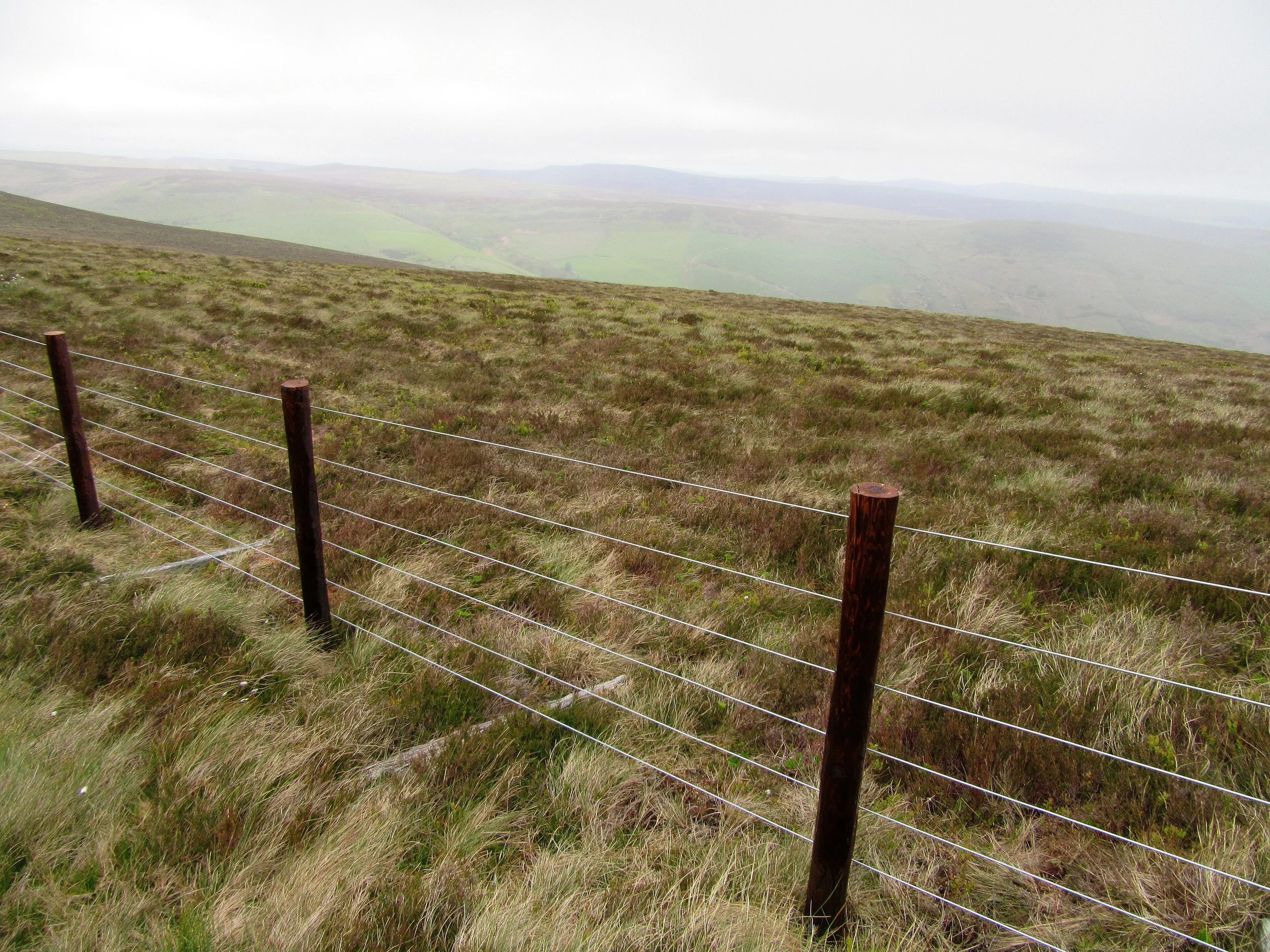
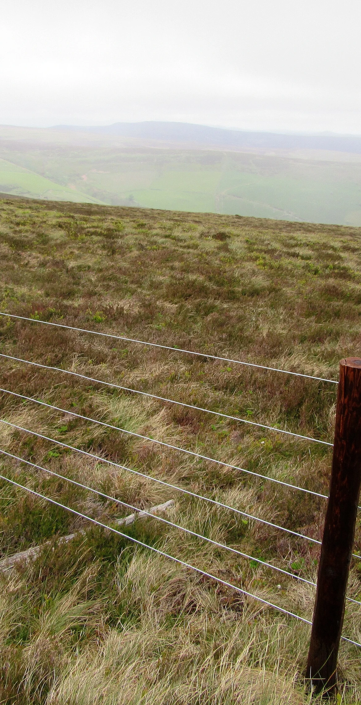
Grassy on top, Foel Wen (690.6 m) is a subsidiary summit of Cadair Berwyn on the most easterly of its long south ridges. From the summit, marked by a small wooden stake, the entire face of Craig Berwyn can be seen. Tomle lies to the north, and Mynydd Tarw 1.6 km to the south.
New to the Pennants?Read our guide: What Are The Welsh Pennants?Rock & Ground
The summit is grassy.
Summit Weather
Our Route
Distance11.7 mi18.8 km
Ascent1,120 m3,670 ft
Time6h 25mwalking
StartSJ 0757 2941Grid reference of the start
DirectionsAlso on this route: Mynydd Tarw
Safety: Routes are a guide only. Carry a map and compass and know how to use them, check the weather before you go, and turn back if in doubt. You use this route at your own risk.