


Hill data: The Database of British and Irish Hills v18.6 (CC BY 4.0)Height690.9 m2,267 ft
Grid RefSH 64549 46617
OS MapOL17OS Explorer
AreaThe Moelwyns
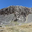
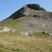
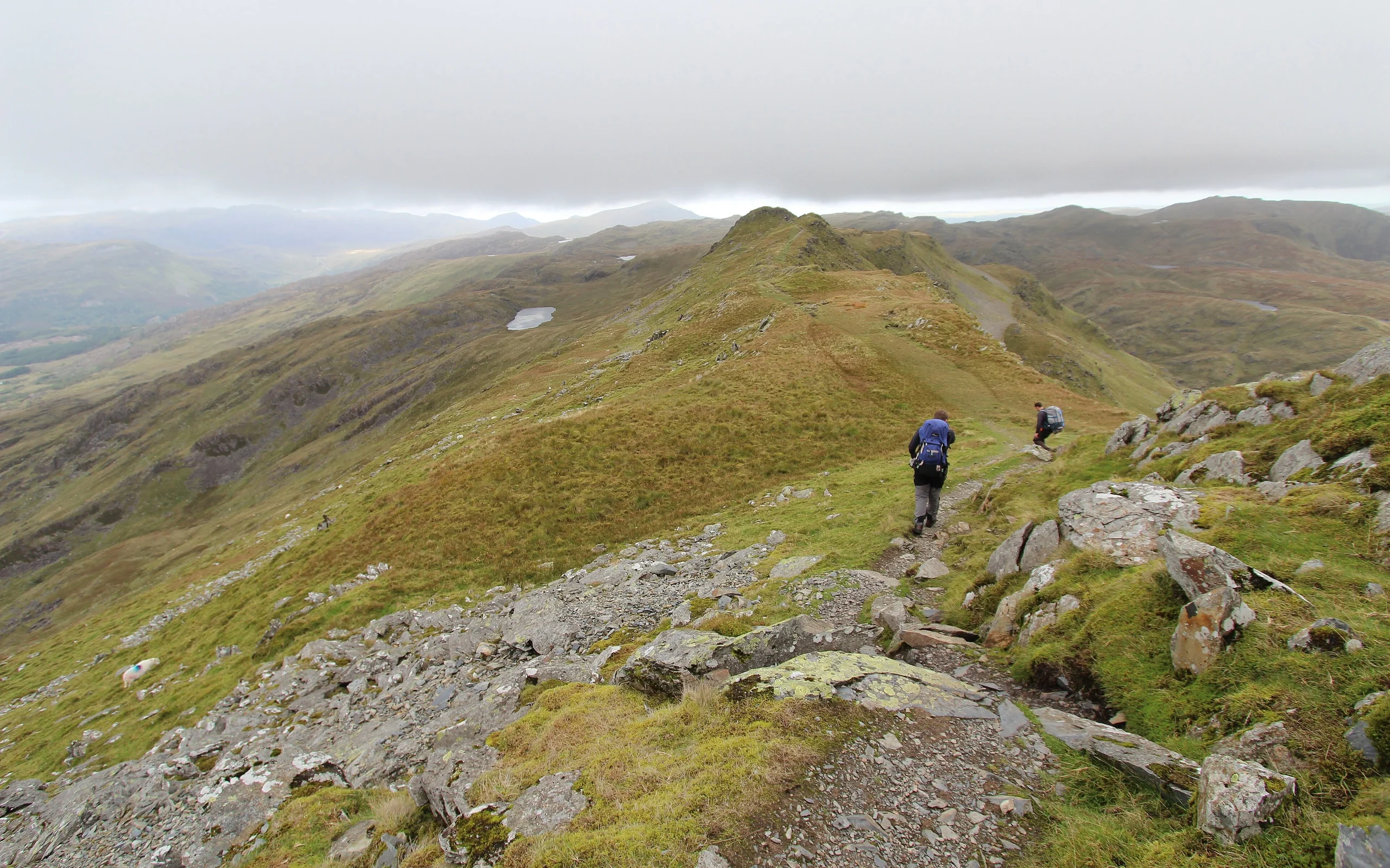
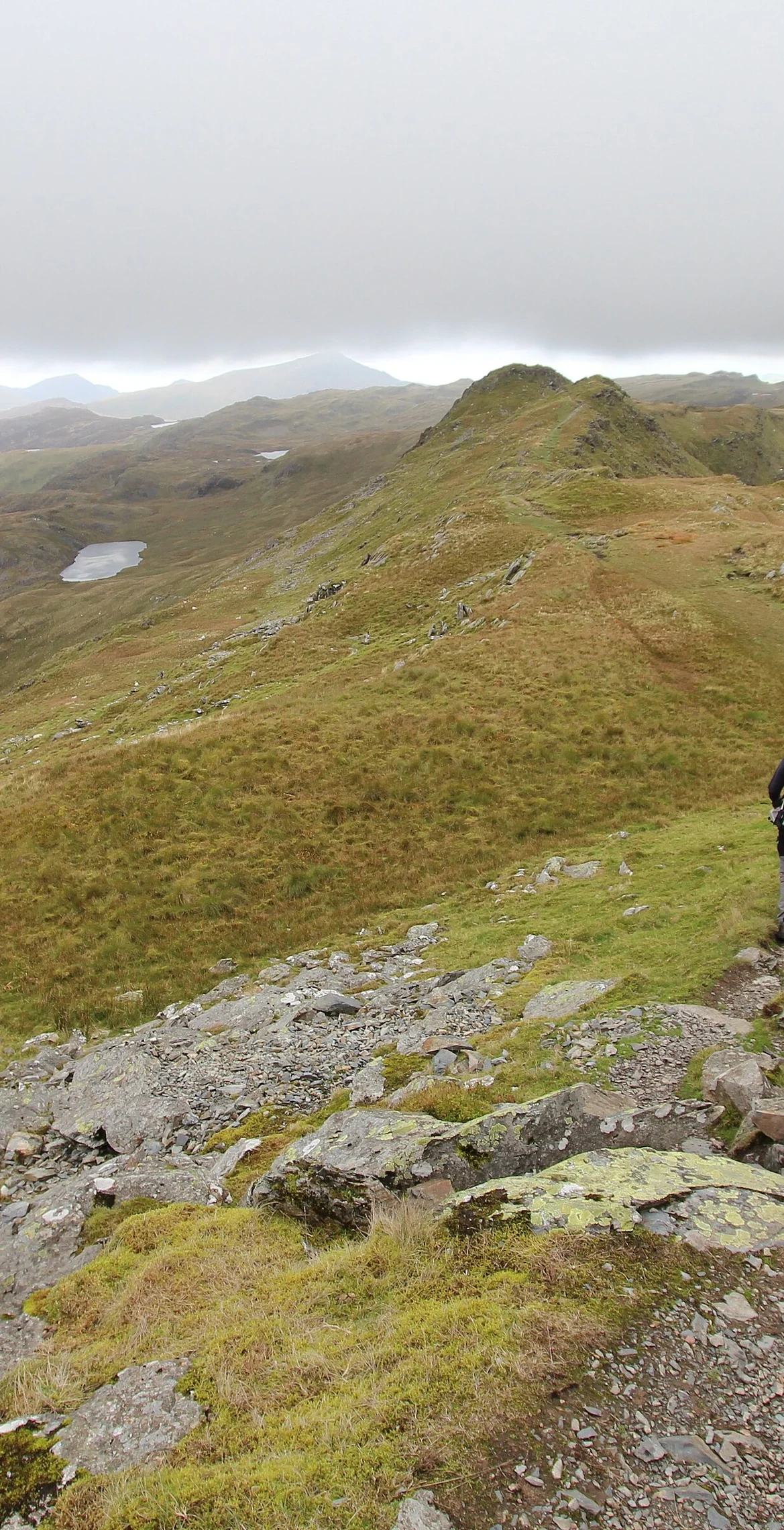
Nicknamed the "Matterhorn of Wales" for its look from the south-west, towards Porthmadog, Cnicht is in reality a long ridge. It reaches 690.9 m, and the summit is the middle of three rocky outcrops. Croesor, the village at its foot, gives an easy ascent, with a harder approach from Nant Gwynant, and the name is thought to come from the English surname Knight.
New to the Pennants?Read our guide: What Are The Welsh Pennants?Summit Weather
Our Route
Distance8.8 mi14.1 km
Ascent820 m2,690 ft
Time4h 50mwalking
Start & FinishSH 6830 4542Circular route, back to the same spot
DirectionsAlso on this route: Allt-fawr, Moel Druman, Ysgafell Wen, Ysgafell Wen North Top
Safety: Routes are a guide only. Carry a map and compass and know how to use them, check the weather before you go, and turn back if in doubt. You use this route at your own risk.