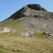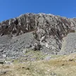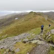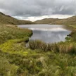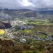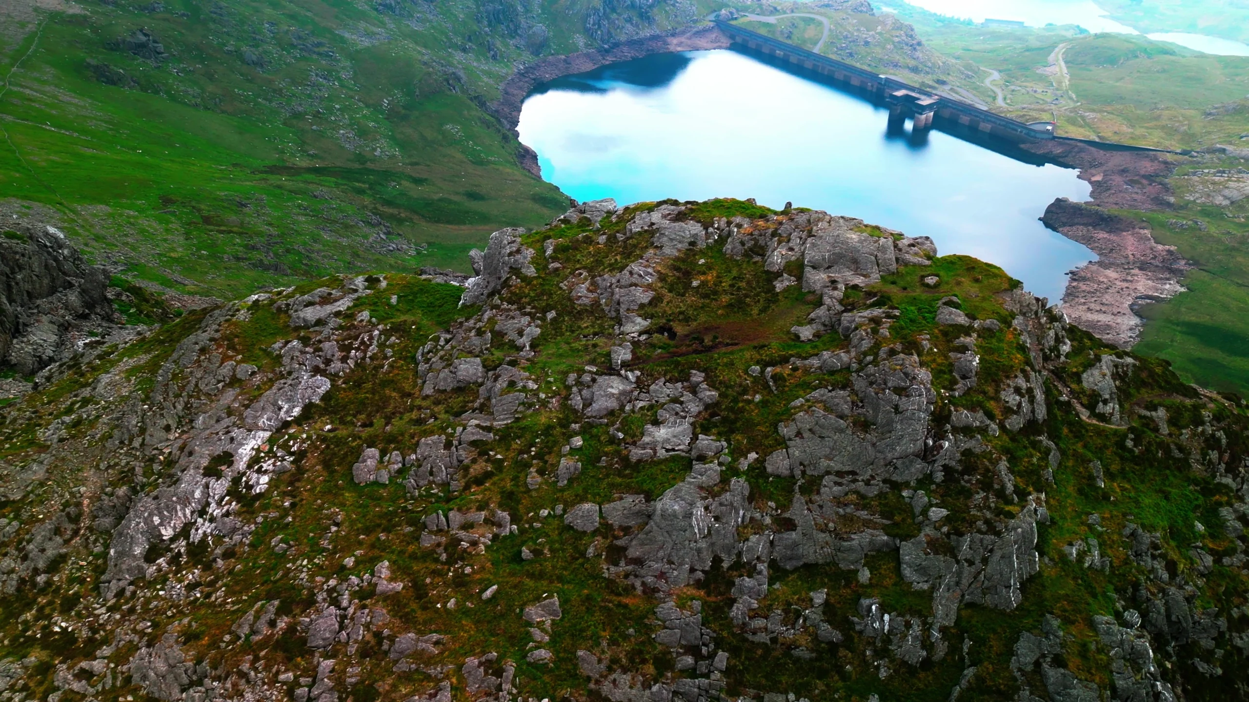

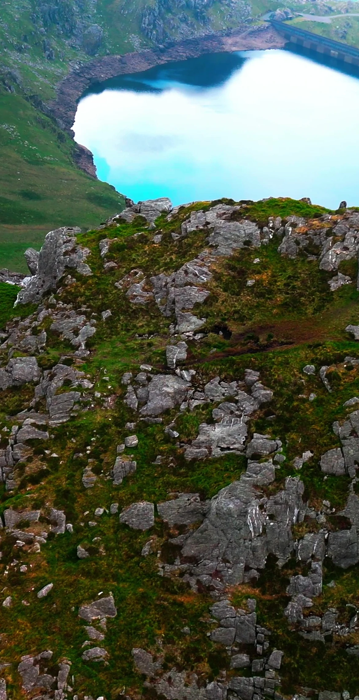


Overlooking the Vale of Ffestiniog, the 770 m summit of Moelwyn Mawr has a trig point and views in all directions. Slate quarries such as Croesor and Rhosydd sit on its flanks, and its high reservoir, Llyn Stwlan, is part of the Ffestiniog pumped-storage power station. A common hike pairs it with Moelwyn Bach, 1.1 km away, over the Craigysgafn ridge, and the mountain was designated a Site of Special Scientific Interest in 1990.
New to the Pennants?Read our guide: What Are The Welsh Pennants?Grassy slopes lead to the summit, with patterned ground of small vegetated stripes on the north-east flank and a rock-glacier debris tongue on the north side.
Summit Weather
Our Route
Also on this route: Moelwyn Bach, Moel-yr-hydd
Safety: Routes are a guide only. Carry a map and compass and know how to use them, check the weather before you go, and turn back if in doubt. You use this route at your own risk.