


Hill data: The Database of British and Irish Hills v18.6 (CC BY 4.0)Height712 m2,336 ft
Grid RefSH 66058 43776
OS MapOL18OS Explorer
AreaThe Moelwyns
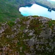
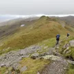
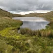
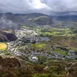
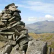
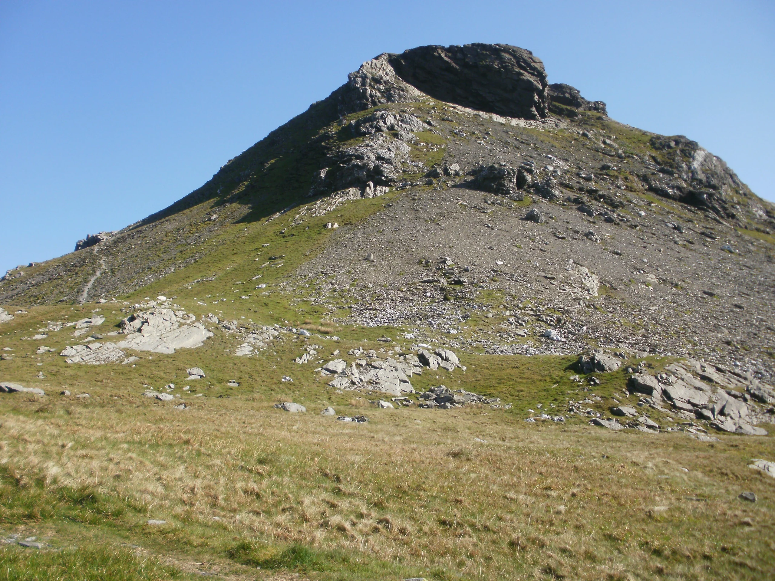
Joined to its parent peak Moelwyn Mawr by the Craigysgafn ridge, Moelwyn Bach (712 m) overlooks Blaenau Ffestiniog and the Vale of Ffestiniog, with a rock marking the summit. The usual round crosses the grassy slopes of Moelwyn Mawr onto the rockier Moelwyn Bach, then returns down the road from the Stwlan Dam.
New to the Pennants?Read our guide: What Are The Welsh Pennants?Rock & Ground
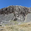
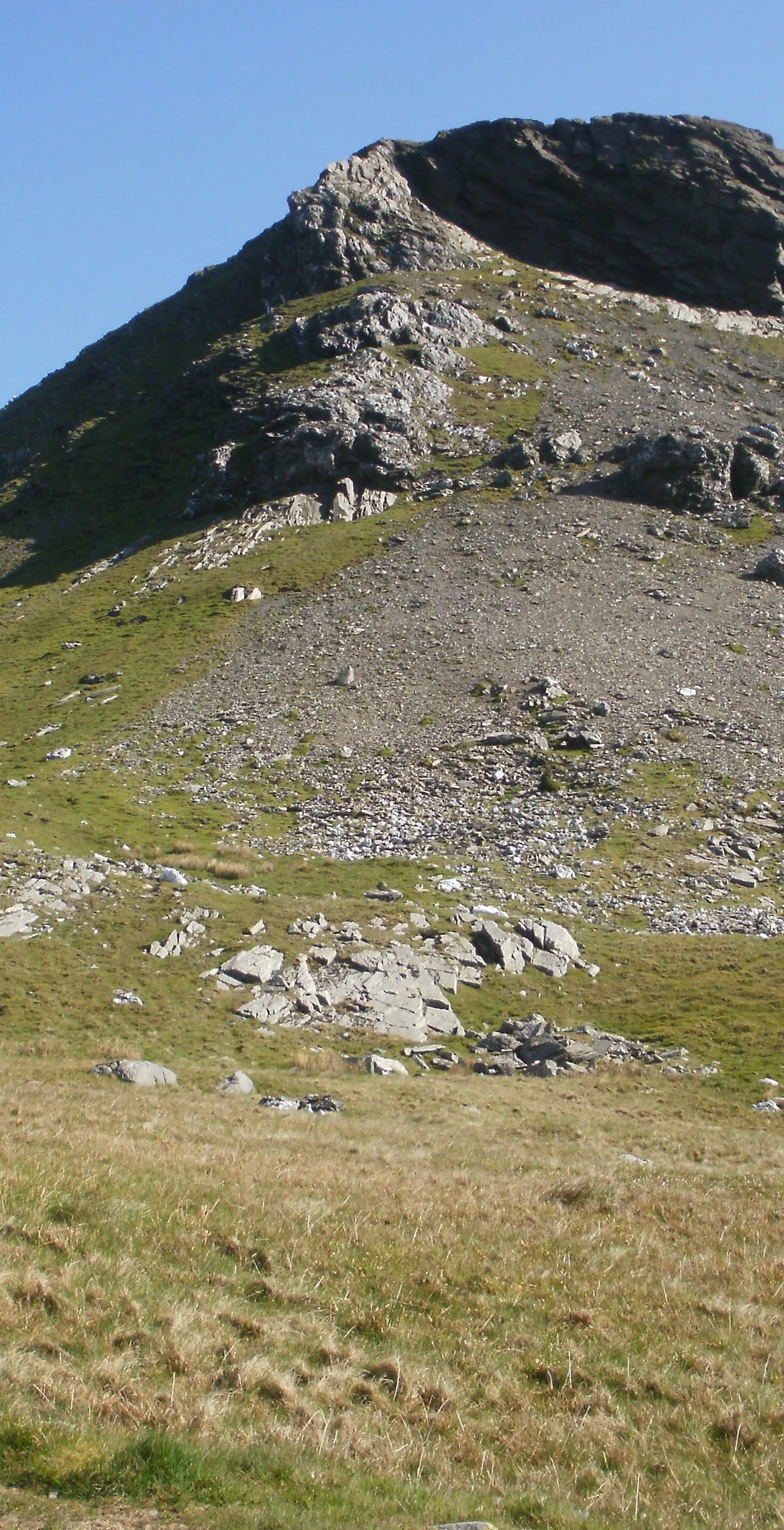
Rockier than its grassy neighbour Moelwyn Mawr.
Summit Weather
Our Route
Distance5.4 mi8.6 km
Ascent720 m2,360 ft
Time3h 25mwalking
Start & FinishSH 6830 4542Circular route, back to the same spot
DirectionsAlso on this route: Moelwyn Mawr, Moel-yr-hydd
Safety: Routes are a guide only. Carry a map and compass and know how to use them, check the weather before you go, and turn back if in doubt. You use this route at your own risk.