


Hill data: The Database of British and Irish Hills v18.6 (CC BY 4.0)Height611 m2,005 ft
Grid RefSH 95382 42295
OS MapOL18OS Explorer
AreaThe Arenigs
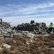
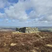
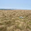
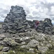
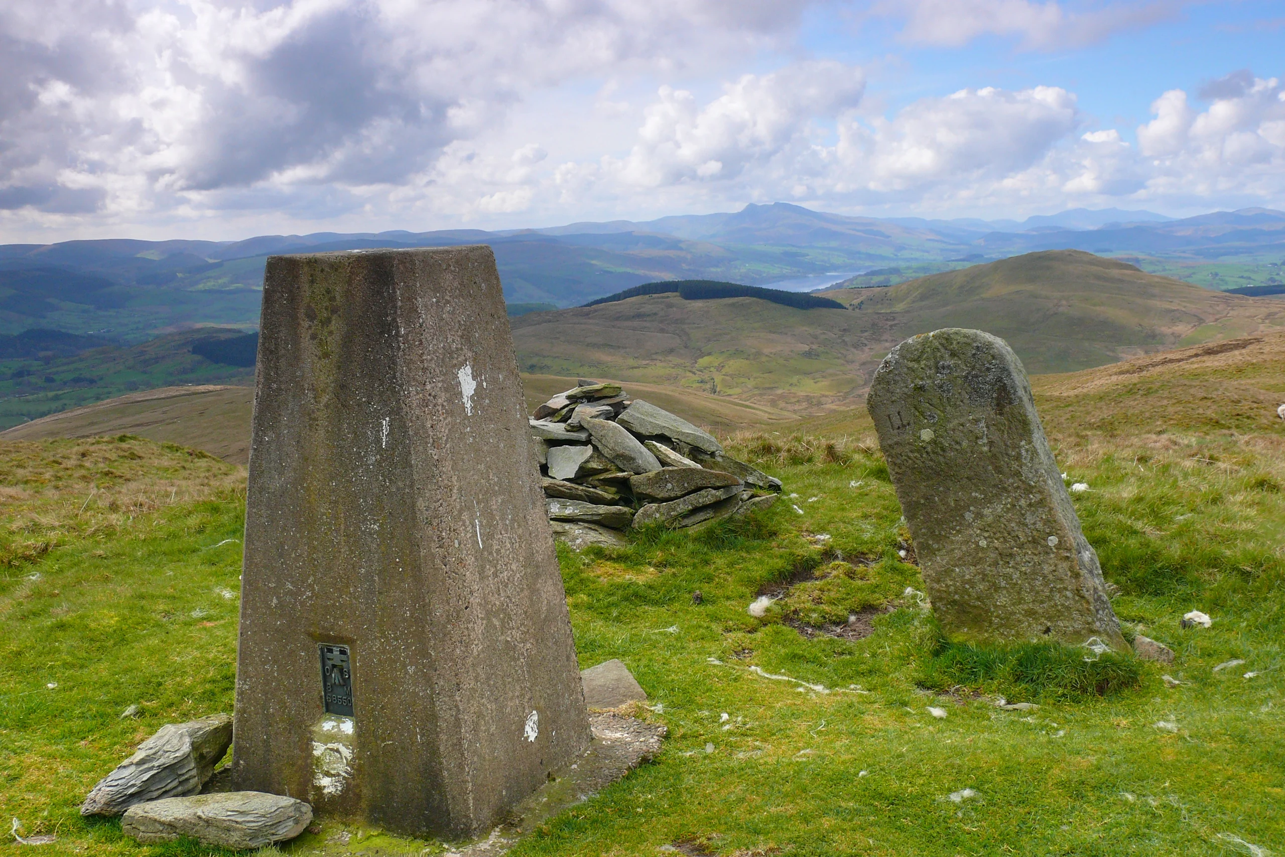
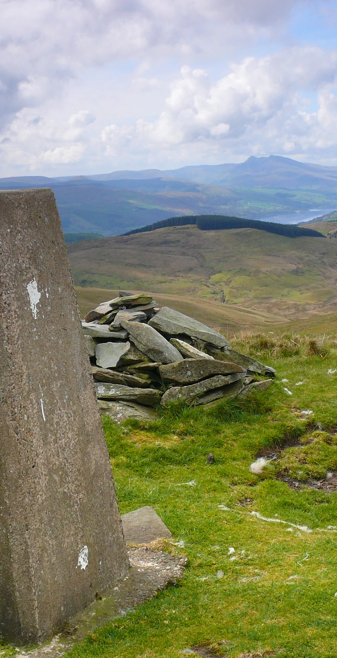
Standing well apart from other hills on the list, Foel Goch reaches 611 m in the Arenigs, with the nearest, Carnedd y Filiast, 8.6 km away. The highest ground is 1 m north of the trig point. Foel Cwm-Sian Llwyd lies 11.7 km off, and Foel Goch in the Berwyns 13.2 km.
New to the Pennants?Read our guide: What Are The Welsh Pennants?Summit Weather
Our Route
Distance4.2 mi6.7 km
Ascent340 m1,120 ft
Time2h 15mwalking
StartSH 9666 4464Grid reference of the start
DirectionsSafety: Routes are a guide only. Carry a map and compass and know how to use them, check the weather before you go, and turn back if in doubt. You use this route at your own risk.