


Hill data: The Database of British and Irish Hills v18.6 (CC BY 4.0)Height612.7 m2,010 ft
Grid RefSH 94341 29084
OS MapOL23OS Explorer
AreaThe Berwyns
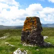
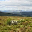
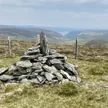
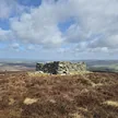
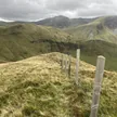
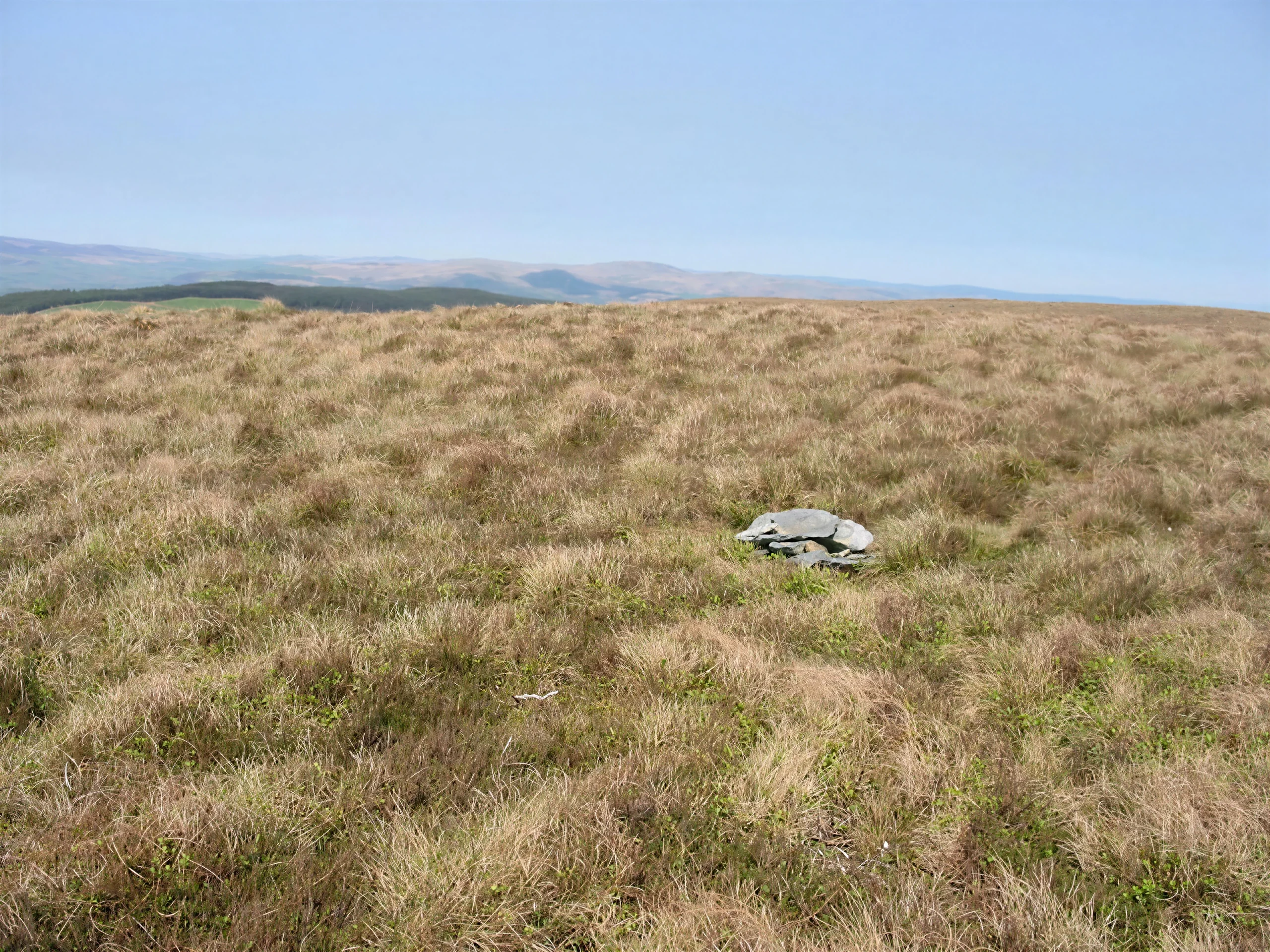
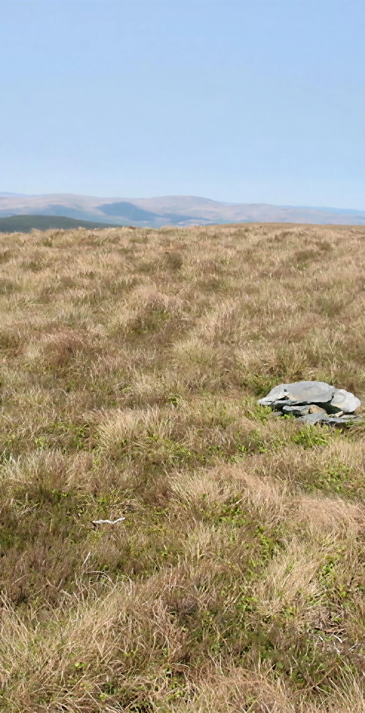
Grouped with the Hirnantau, hills rising from the south-east shores of Llyn Tegid (Bala Lake), Foel Goch reaches 612.7 m and is a subsidiary summit of Esgeiriau Gwynion. Its boggy summit has nothing more than a few stones to mark it. The views are good, looking back to Foel y Geifr, 1.7 km away, and north-west to northern Snowdonia.
New to the Pennants?Read our guide: What Are The Welsh Pennants?Rock & Ground
The summit is boggy.
Summit Weather
Our Route
Distance7.8 mi12.5 km
Ascent620 m2,030 ft
Time4h 05mwalking
StartSH 9524 2998Grid reference of the start
DirectionsAlso on this route: Foel y Geifr
Safety: Routes are a guide only. Carry a map and compass and know how to use them, check the weather before you go, and turn back if in doubt. You use this route at your own risk.