


Hill data: The Database of British and Irish Hills v18.6 (CC BY 4.0)Height648 m2,126 ft
Grid RefSH 99588 31387
OS Map255OS Explorer
AreaThe Berwyns
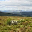
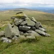
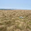
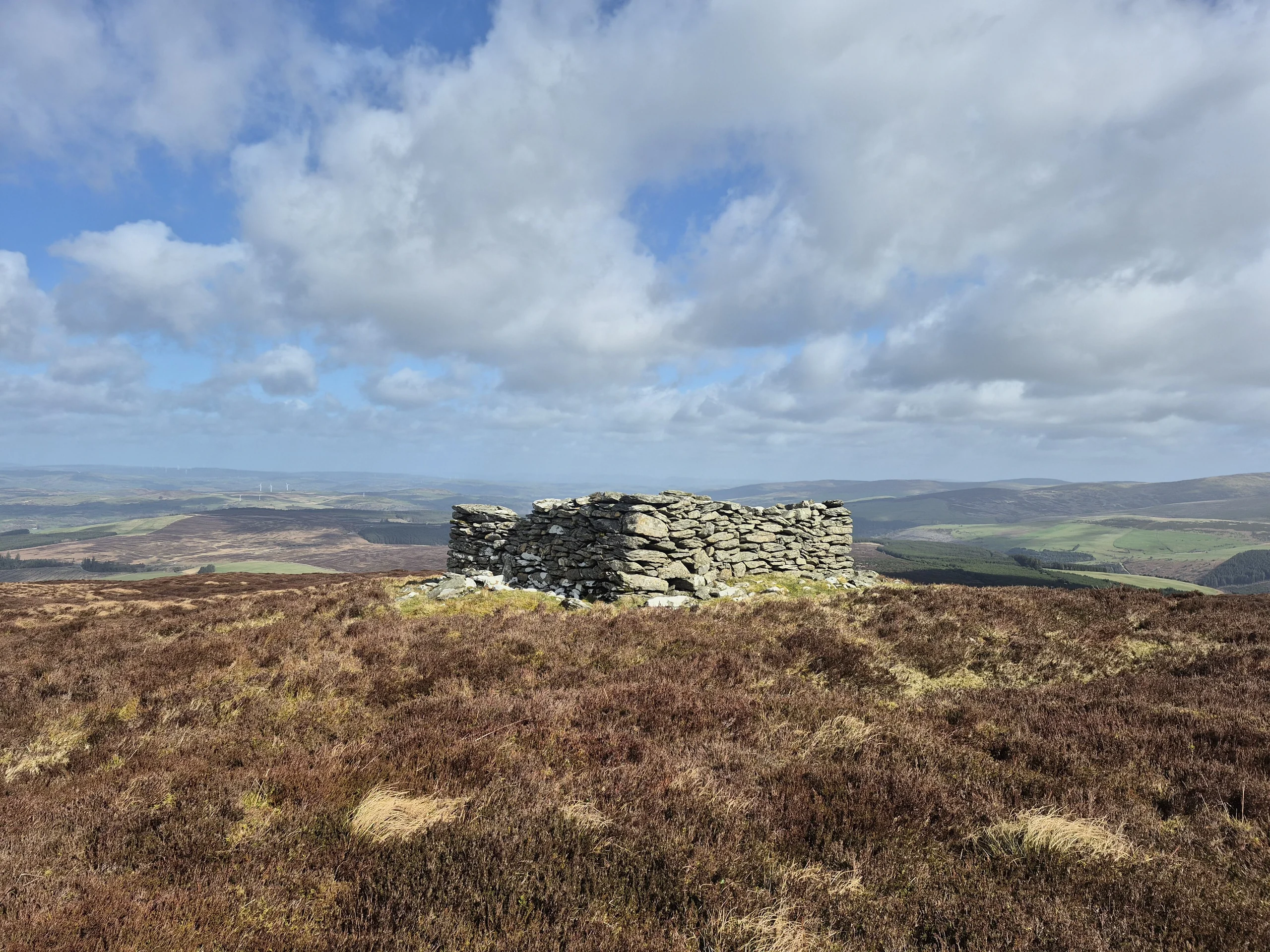
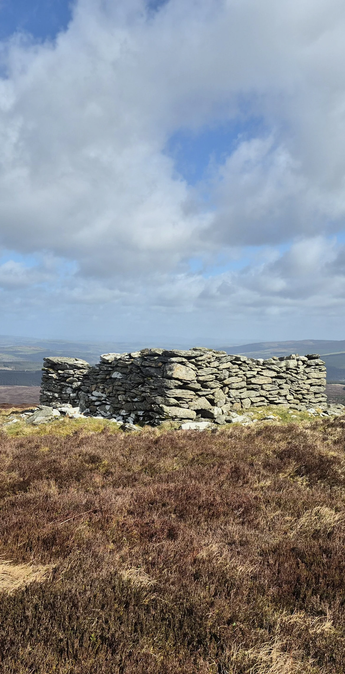
The Snowdonia National Park boundary runs through the summit of Foel Cwm-Sian Llwyd, making it the park's most easterly 2000 ft summit. A subsidiary of Cyrniau Nod in the part of the Berwyns known as the Hirnantau, it reaches 648 m, with a trig point on top and a ruined stone tower at the northern end of the summit area. The views are extensive, if unremarkable, over flat, featureless moorland.
New to the Pennants?Read our guide: What Are The Welsh Pennants?Rock & Ground
Flat, featureless moorland surrounds the summit.
Summit Weather
Our Route
Distance14.7 mi23.6 km
Ascent1,020 m3,350 ft
Time7h 30mwalking
Start & FinishSH 9524 2998Circular route, back to the same spot
DirectionsAlso on this route: Foel Cedig, Pen y Boncyn Trefeilw
Safety: Routes are a guide only. Carry a map and compass and know how to use them, check the weather before you go, and turn back if in doubt. You use this route at your own risk.