


Hill data: The Database of British and Irish Hills v18.6 (CC BY 4.0)Height975.4 m3,200 ft
Grid RefSH 68881 65909
OS MapOL17OS Explorer
AreaThe Carneddau
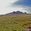
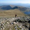
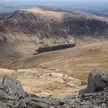
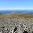
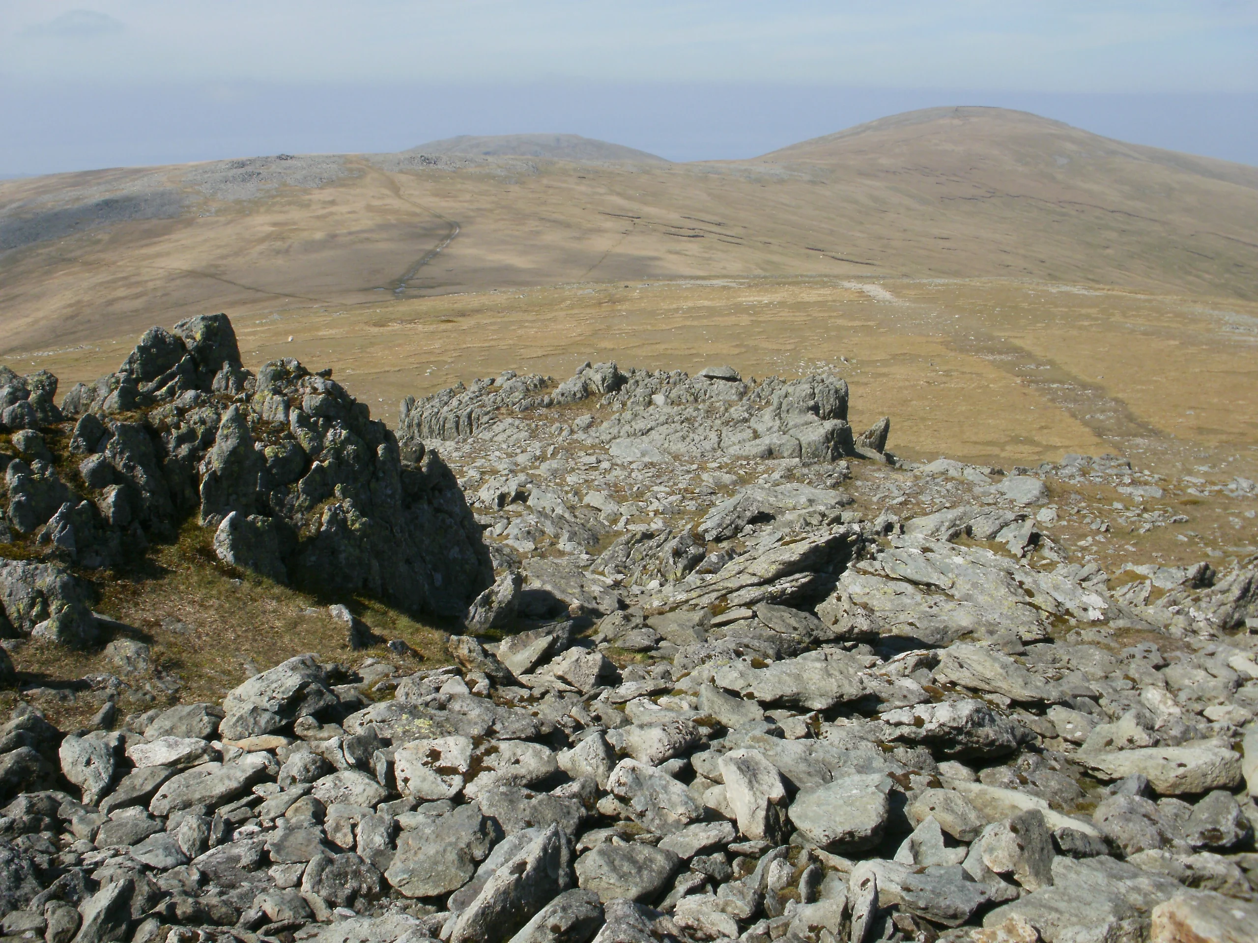
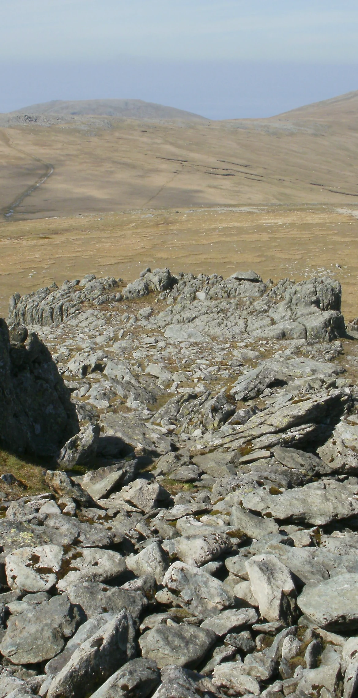
Eighth highest summit in Wales and one of the Welsh 3000s, Foel Grach (975.4 m) sits on the broad ridge running north from Carnedd Llewelyn towards Carnedd Gwenllian and Foel-fras. A cairn marks the top, and an emergency refuge has been built below the summit. On clear days the Isle of Man and even the Mourne Mountains in Northern Ireland can be seen.
New to the Pennants?Read our guide: What Are The Welsh Pennants?Rock & Ground
Its broad summit and high grassy slopes hold much deeper snow than the surrounding mountains.
Summit Weather
Our Route
Distance11.4 mi18.4 km
Ascent1,060 m3,480 ft
Time6h 20mwalking
Start & FinishSH 6321 6640Circular route, back to the same spot
DirectionsAlso on this route: Carnedd Llewelyn, Yr Elen, Garnedd Uchaf, Drosgl
Safety: Routes are a guide only. Carry a map and compass and know how to use them, check the weather before you go, and turn back if in doubt. You use this route at your own risk.