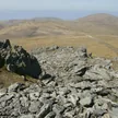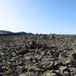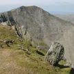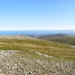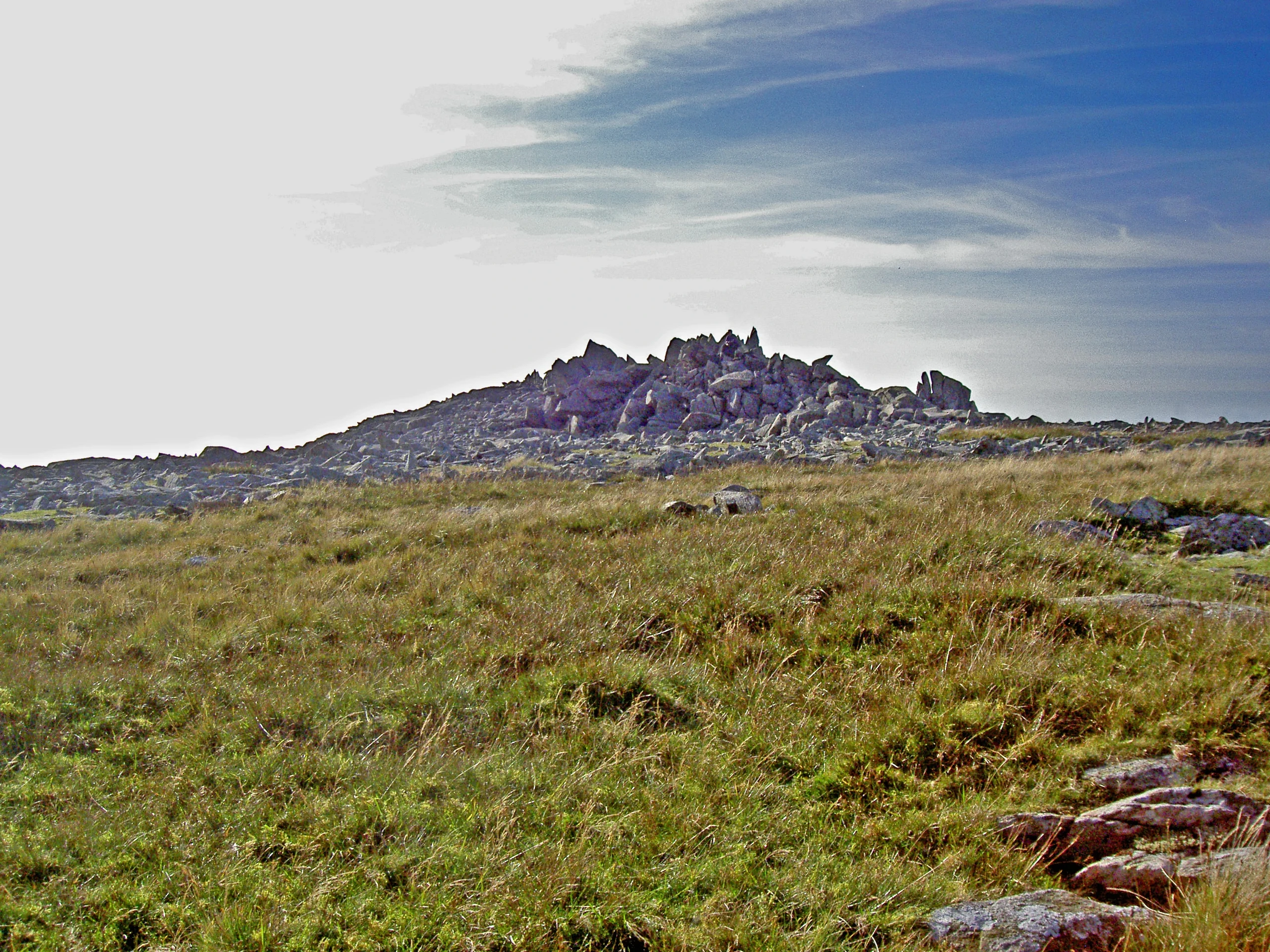

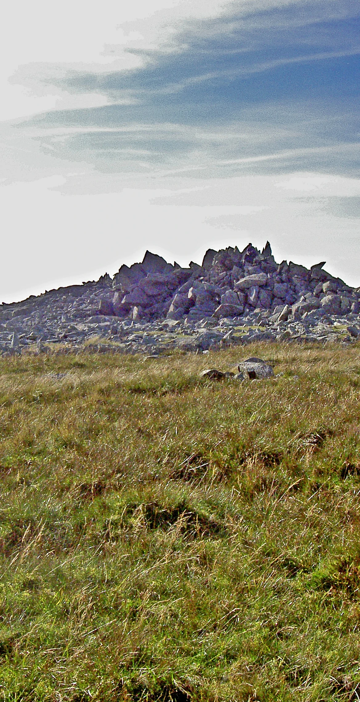


Known since 2009 as Carnedd Gwenllian, this minor Carneddau summit (925 m) lies between Foel-fras and Foel Grach and rises only slightly above the ridge, so it is not always counted in the Welsh 3000s. The new name remembers Gwenllian, only daughter of Llywelyn ap Gruffudd, and the Ordnance Survey agreed to show both names on its maps from 2010. A rock outcrop marks the top, and views north can reach Ireland and the Isle of Man.
New to the Pennants?Read our guide: What Are The Welsh Pennants?Its slopes are largely grassy but steep, and snowdrifts can build up on them in winter blizzards.
Summit Weather
Our Route
Also on this route: Carnedd Llewelyn, Foel Grach, Yr Elen, Drosgl
Safety: Routes are a guide only. Carry a map and compass and know how to use them, check the weather before you go, and turn back if in doubt. You use this route at your own risk.