


Hill data: The Database of British and Irish Hills v18.6 (CC BY 4.0)Height630 m2,067 ft
Grid RefSJ 11683 39800
OS Map255OS Explorer
AreaThe Berwyns
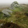
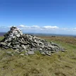
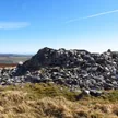
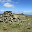
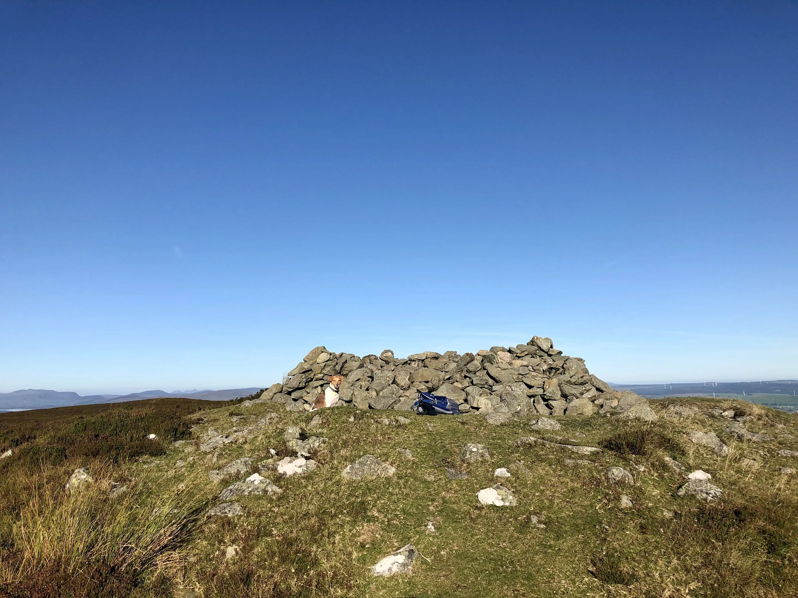
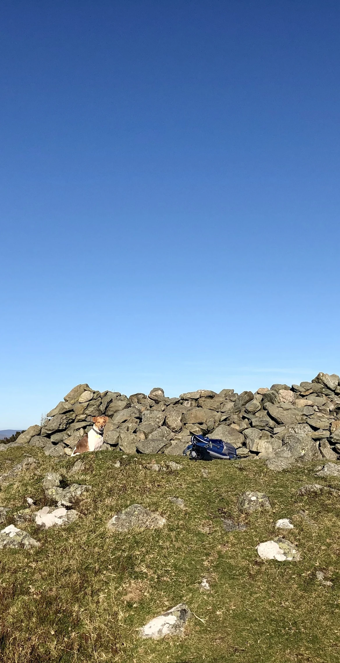
Northernmost outpost of the Berwyn range, Moel Fferna (630 m) is the highest peak in the Clwydian Range and Dee Valley Area of Outstanding Natural Beauty. Deep heather covers the summit, which has a shelter cairn; the trig point that once marked it has been destroyed. To the south is Pen Bwlch Llandrillo, followed by Cadair Bronwen.
New to the Pennants?Read our guide: What Are The Welsh Pennants?Rock & Ground
The summit is covered in deep heather.
Summit Weather
Our Route
Distance8.5 mi13.7 km
Ascent620 m2,030 ft
Time4h 25mwalking
StartSJ 1569 4248Grid reference of the start
DirectionsSafety: Routes are a guide only. Carry a map and compass and know how to use them, check the weather before you go, and turn back if in doubt. You use this route at your own risk.