


Hill data: The Database of British and Irish Hills v18.6 (CC BY 4.0)Height783.7 m2,571 ft
Grid RefSH 56519 46963
OS MapOL17OS Explorer
AreaMoel Hebog
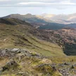
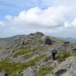
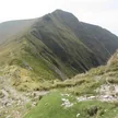
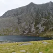
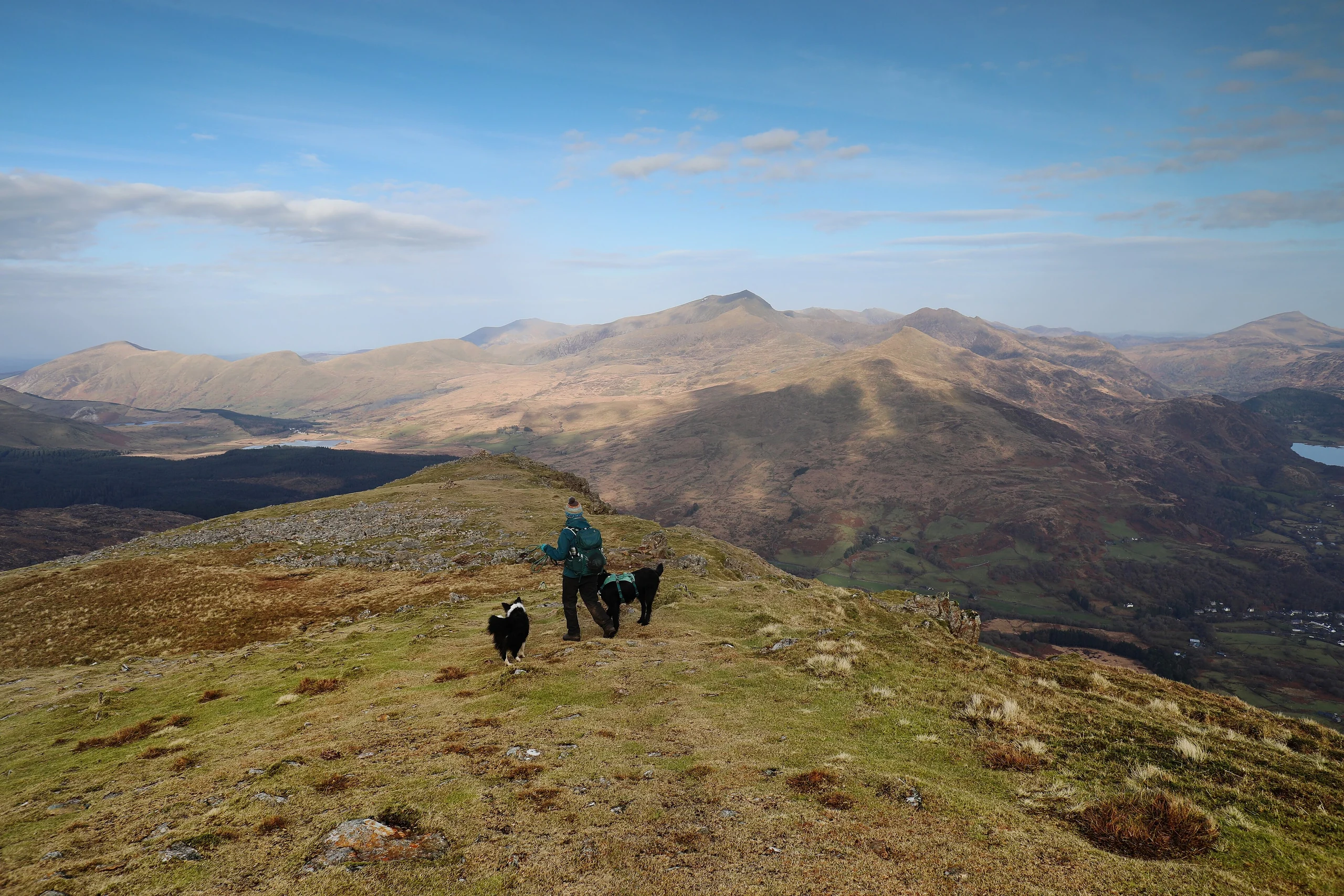
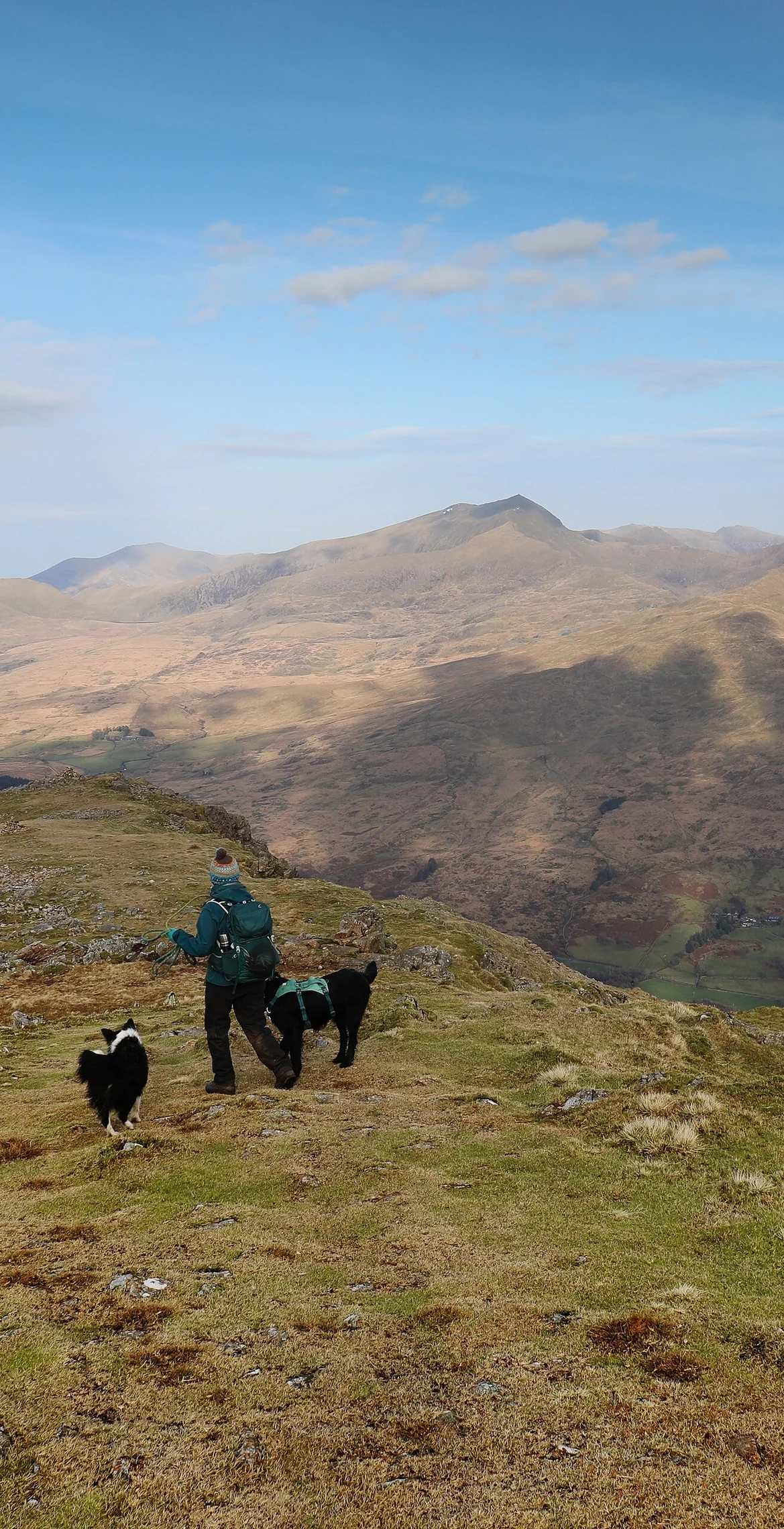
Dominating the western view from Beddgelert, Moel Hebog (783.7 m) is the principal summit of a range that takes in the Nantlle Ridge and Mynydd Mawr; its name is Welsh for 'bare hill of the hawk'. The highest point is an elongated rock about 10 m north-north-east of the cairn. Neighbouring Moel yr Ogof, 1.3 km away, has a cave traditionally associated with Owain Glyndŵr.
New to the Pennants?Read our guide: What Are The Welsh Pennants?Rock & Ground
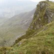
Volcanic rocks of the Snowdon Volcanic Group form much of the upper mountain, above a complex succession of Cambrian and Ordovician rocks.
Summit Weather
Our Route
Distance7.2 mi11.5 km
Ascent1,000 m3,280 ft
Time4h 30mwalking
StartSH 5402 4921Grid reference of the start
DirectionsAlso on this route: Moel yr Ogof, Moel Lefn
Safety: Routes are a guide only. Carry a map and compass and know how to use them, check the weather before you go, and turn back if in doubt. You use this route at your own risk.