


Hill data: The Database of British and Irish Hills v18.6 (CC BY 4.0)Height653 m2,142 ft
Grid RefSH 53534 51402
OS MapOL17OS Explorer
AreaMoel Hebog
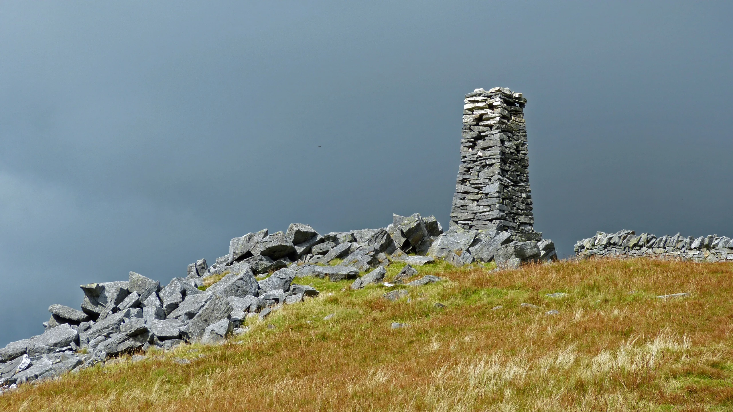
Queen Victoria's Diamond Jubilee is commemorated by the large stone obelisk on Mynydd Tal-y-mignedd, at the centre of the Nantlle Ridge. The 653 m peak is a subsidiary summit of Trum y Ddysgl, joined to it by a fine arête, while a col links it to Craig Cwm Silyn. The highest point is a rock at the base of the obelisk.
New to the Pennants?Read our guide: What Are The Welsh Pennants?Summit Weather
Our Route
Distance14.6 mi23.5 km
Ascent1,910 m6,270 ft
Time8h 50mwalking
Start & FinishSH 5418 5346Circular route, back to the same spot
DirectionsAlso on this route: Craig Cwm Silyn, Trum y Ddysgl, Mynydd Mawr, Mynydd Drws-y-coed
Safety: Routes are a guide only. Carry a map and compass and know how to use them, check the weather before you go, and turn back if in doubt. You use this route at your own risk.