


Hill data: The Database of British and Irish Hills v18.6 (CC BY 4.0)Height695 m2,280 ft
Grid RefSH 54894 51820
OS MapOL17OS Explorer
AreaMoel Hebog
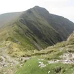
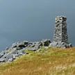
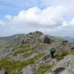
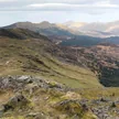
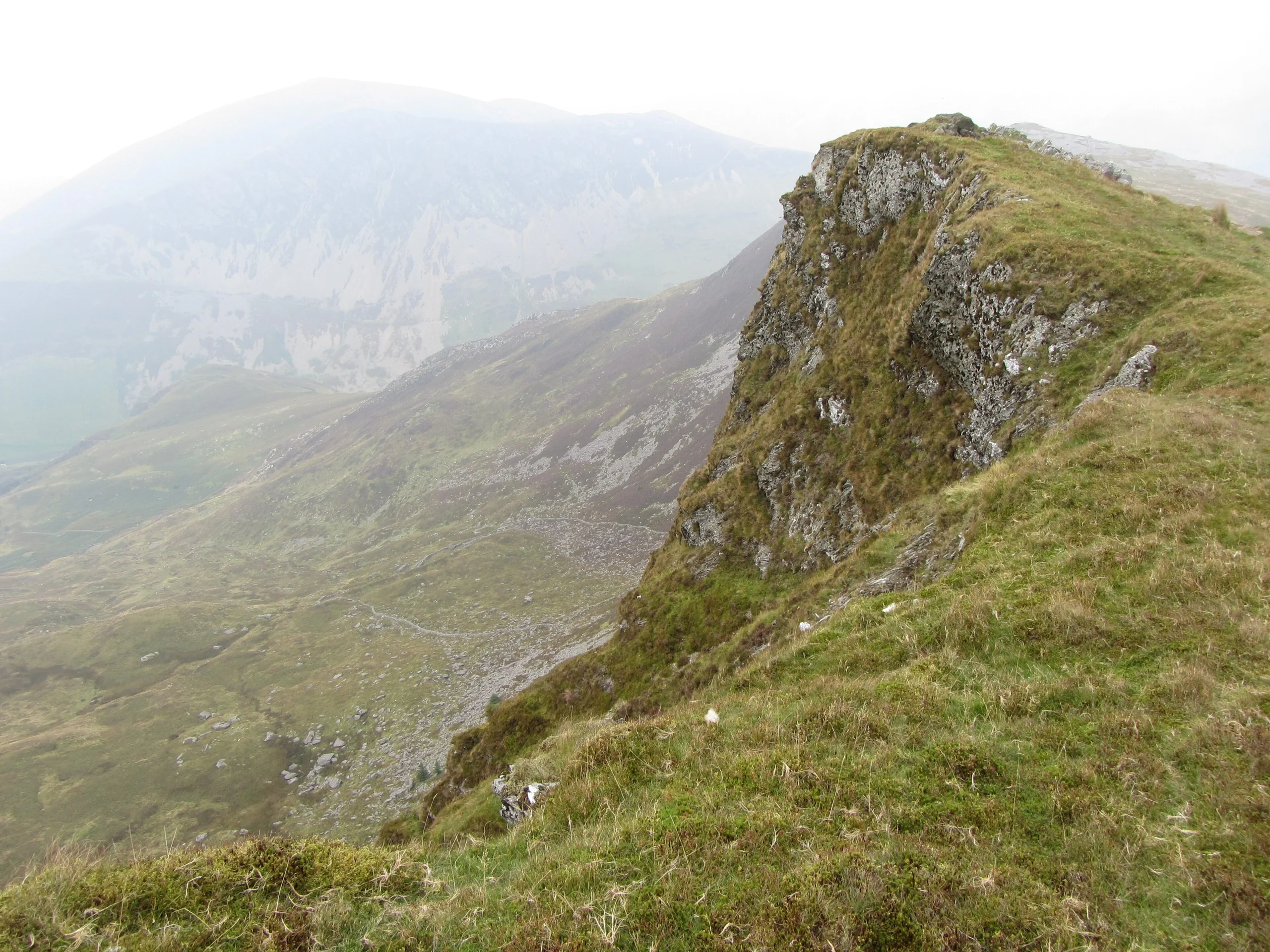
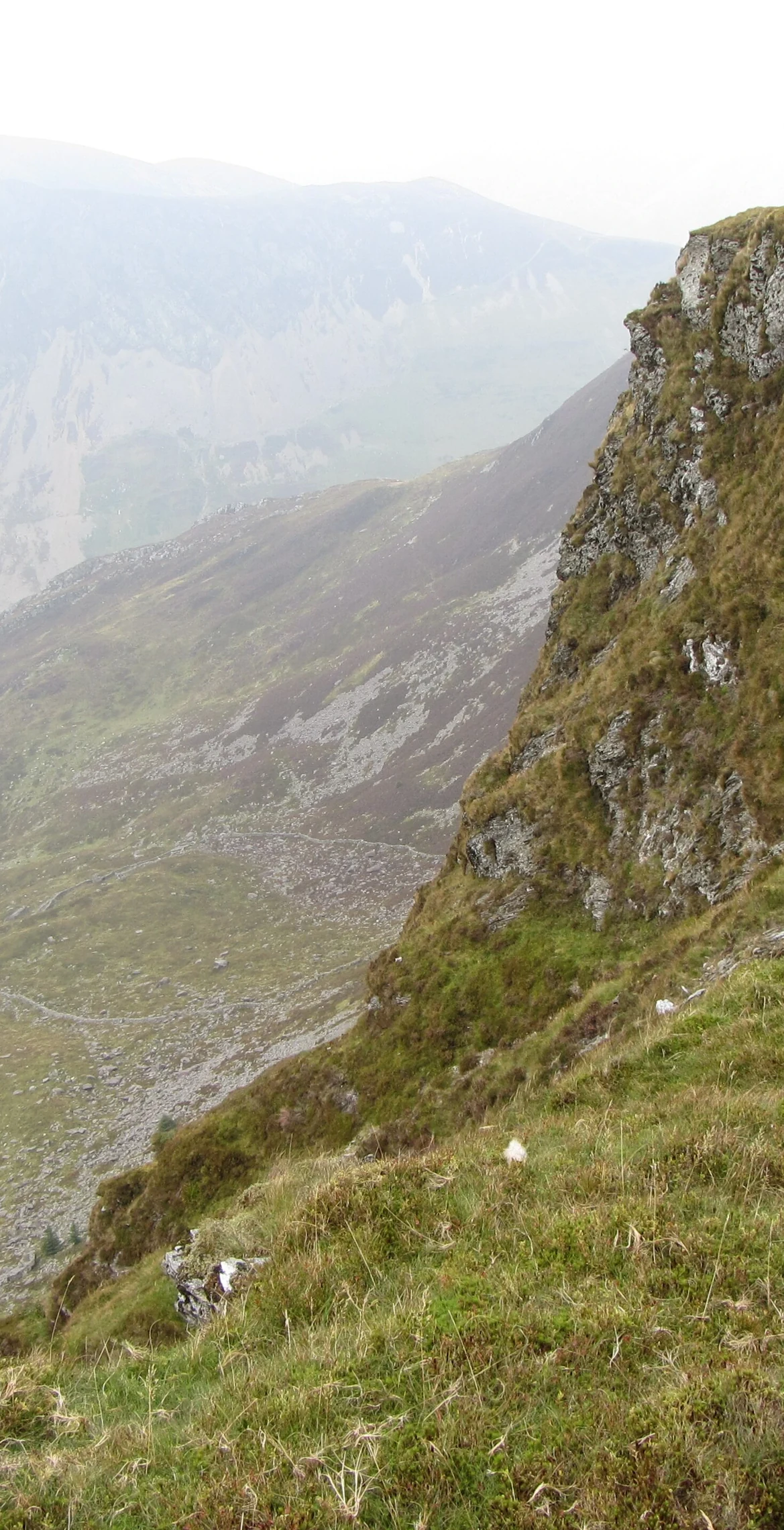
Steep west-facing cliffs fall from this 695 m peak at the eastern end of the Nantlle Ridge, a subsidiary summit of Trum y Ddysgl just 0.4 km away. The summit is the highest point on a thin ridge, and the west side is very rocky and airy: some scrambling is needed, along with a good head for heights on the exposed sections. The top itself is grass, with no marker.
New to the Pennants?Read our guide: What Are The Welsh Pennants?Rock & Ground
Steep, very rocky west-facing cliffs rise to a grassy top on a thin ridge.
Summit Weather
Our Route
Distance14.6 mi23.5 km
Ascent1,910 m6,270 ft
Time8h 50mwalking
Start & FinishSH 5418 5346Circular route, back to the same spot
DirectionsAlso on this route: Craig Cwm Silyn, Trum y Ddysgl, Mynydd Mawr, Mynydd Tal-y-mignedd
Safety: Routes are a guide only. Carry a map and compass and know how to use them, check the weather before you go, and turn back if in doubt. You use this route at your own risk.