


Hill data: The Database of British and Irish Hills v18.6 (CC BY 4.0)Height709.7 m2,328 ft
Grid RefSH 54487 51646
OS MapOL17OS Explorer
AreaMoel Hebog
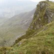
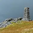
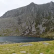
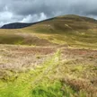
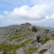
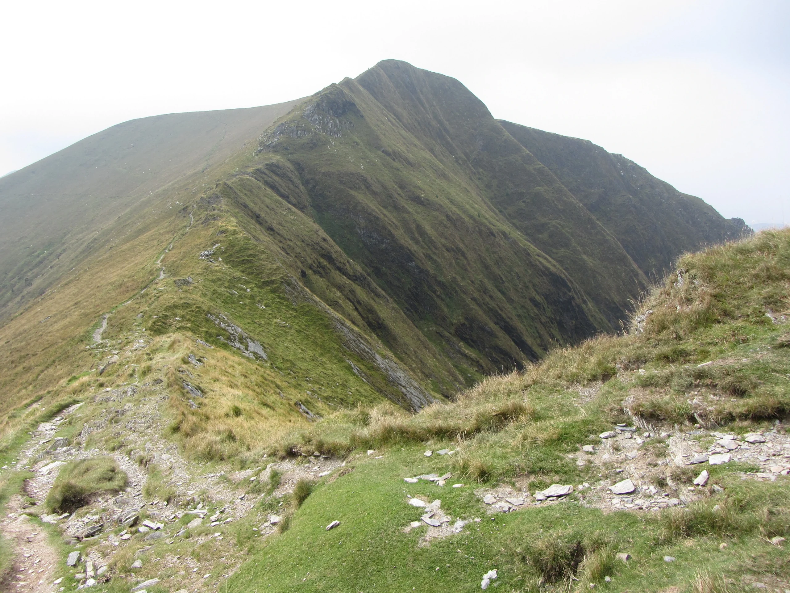
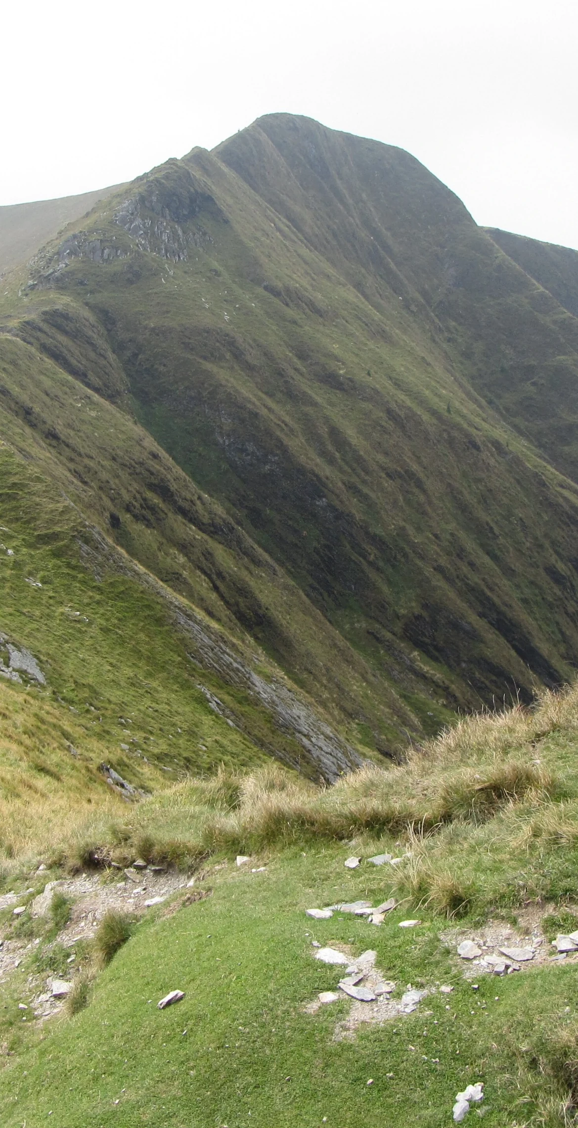
Second-highest summit on the Nantlle Ridge, Trum y Ddysgl (709.7 m) has two arêtes and dark glacial cwms, and with its three other tops forms a rocky, relatively narrow part of the ridge. The highest point itself is grass. Mynydd Drws-y-coed is just 0.4 km away, and Mynydd Mawr, Snowdon and Moel Hebog are close neighbours.
New to the Pennants?Read our guide: What Are The Welsh Pennants?Rock & Ground
Rocky in character, with two arêtes and dark glacial cwms, though the very top is grass.
Summit Weather
Our Route
Distance14.6 mi23.5 km
Ascent1,910 m6,270 ft
Time8h 50mwalking
Start & FinishSH 5418 5346Circular route, back to the same spot
DirectionsAlso on this route: Craig Cwm Silyn, Mynydd Mawr, Mynydd Drws-y-coed, Mynydd Tal-y-mignedd
Safety: Routes are a guide only. Carry a map and compass and know how to use them, check the weather before you go, and turn back if in doubt. You use this route at your own risk.