


Hill data: The Database of British and Irish Hills v18.6 (CC BY 4.0)Height655 m2,149 ft
Grid RefSH 55627 47863
OS MapOL17OS Explorer
AreaMoel Hebog
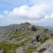
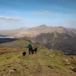
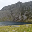
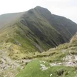
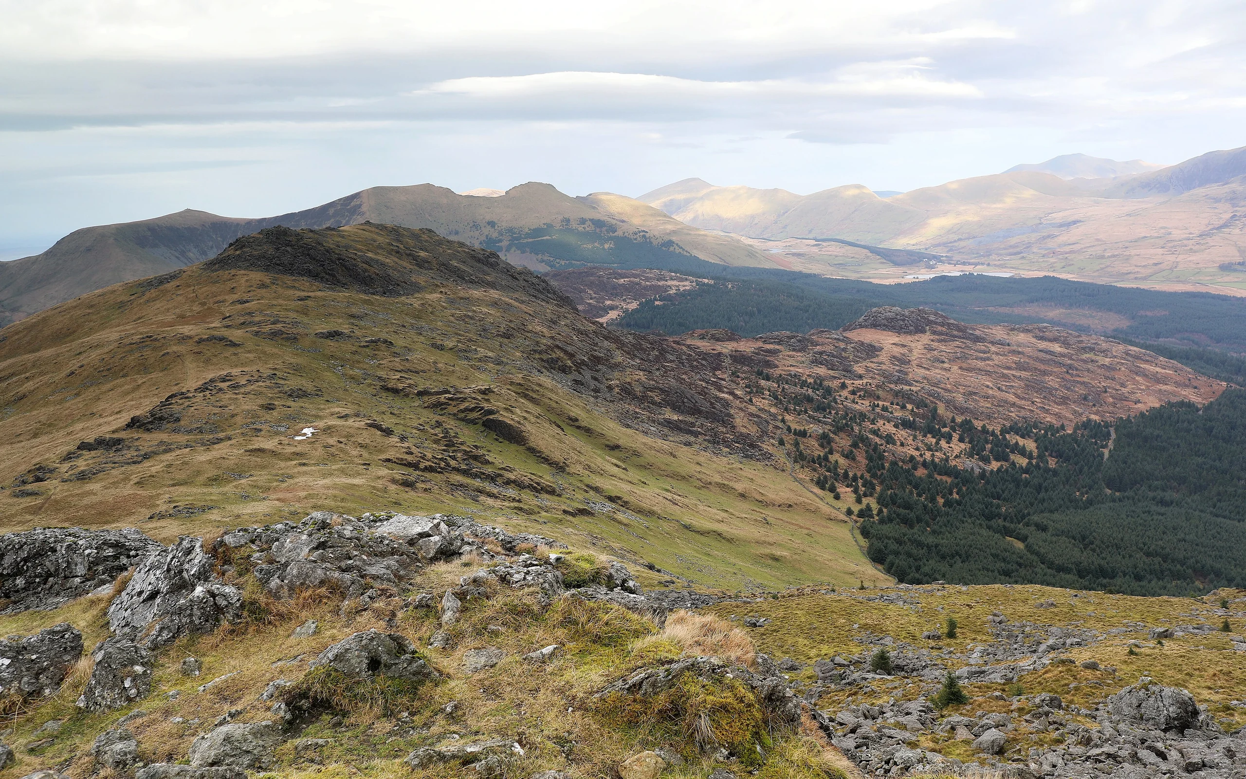
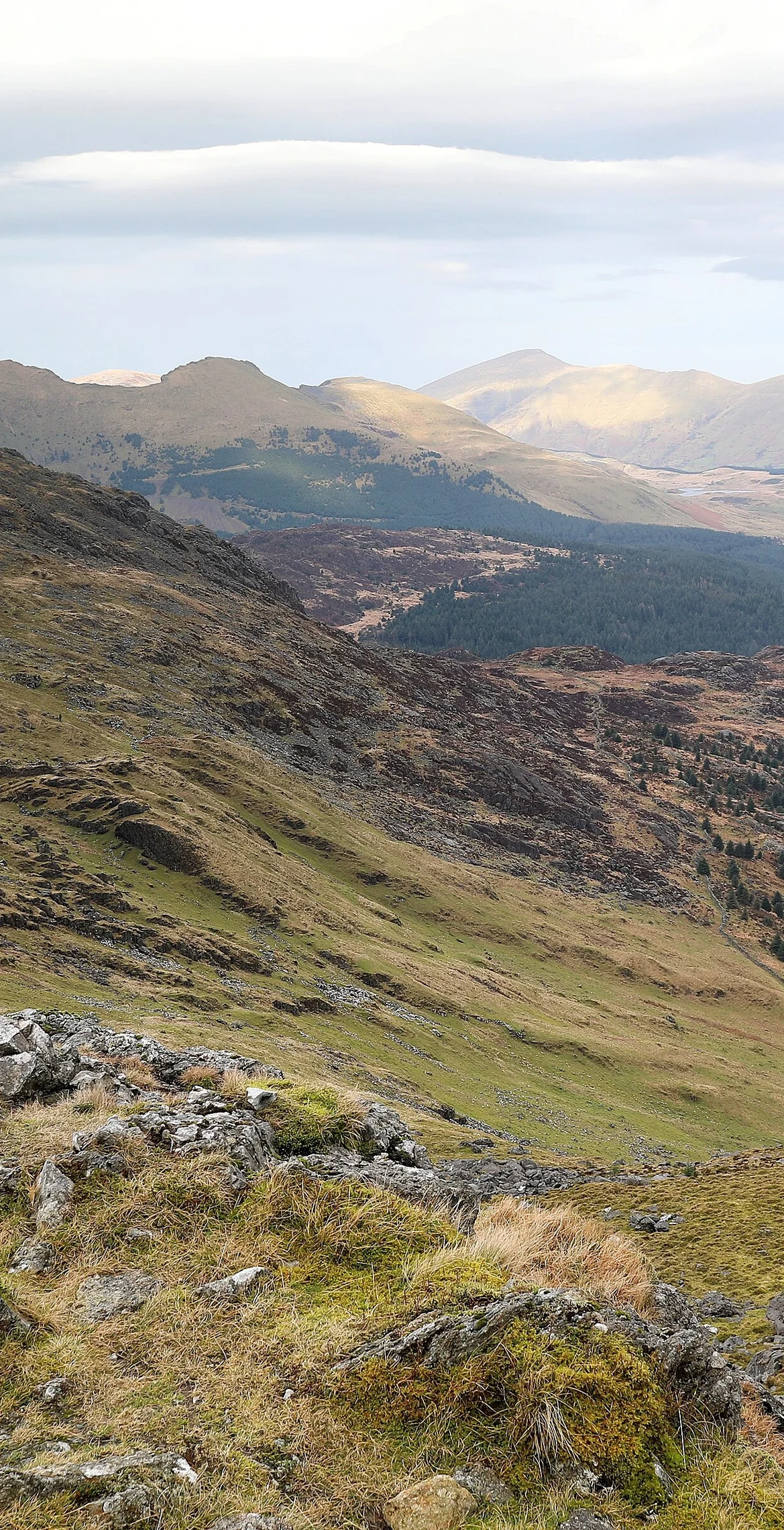
Owain Glyndŵr's cave lies on the cliff of the eastern flank of Moel yr Ogof, a 655 m subsidiary summit of Moel Hebog and sister peak to the lower Moel Lefn, 0.8 km away. An asbestos trial mine sits on the summit, where a small seam of white asbestos was found but not enough to mine commercially. A small cairn marks the top, and there are good views north to the Nantlle Ridge.
New to the Pennants?Read our guide: What Are The Welsh Pennants?Rock & Ground
The summit is brecciated rhyolite, surrounded by bands of pillow basalt and green-grey sandstone.
Summit Weather
Our Route
Distance7.2 mi11.5 km
Ascent1,000 m3,280 ft
Time4h 30mwalking
StartSH 5402 4921Grid reference of the start
DirectionsAlso on this route: Moel Hebog, Moel Lefn
Safety: Routes are a guide only. Carry a map and compass and know how to use them, check the weather before you go, and turn back if in doubt. You use this route at your own risk.