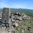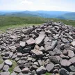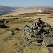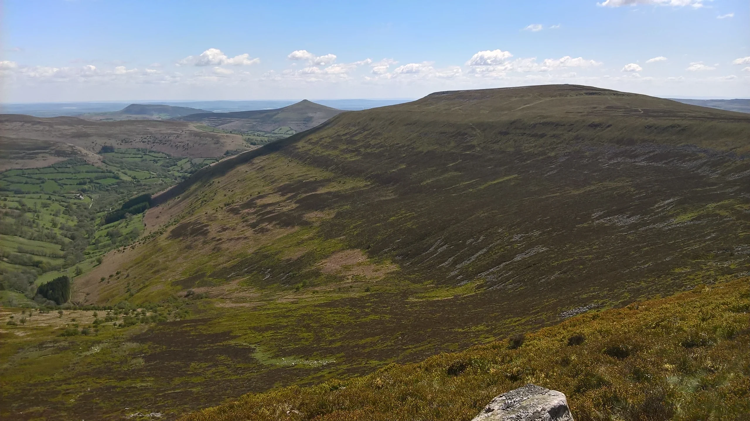

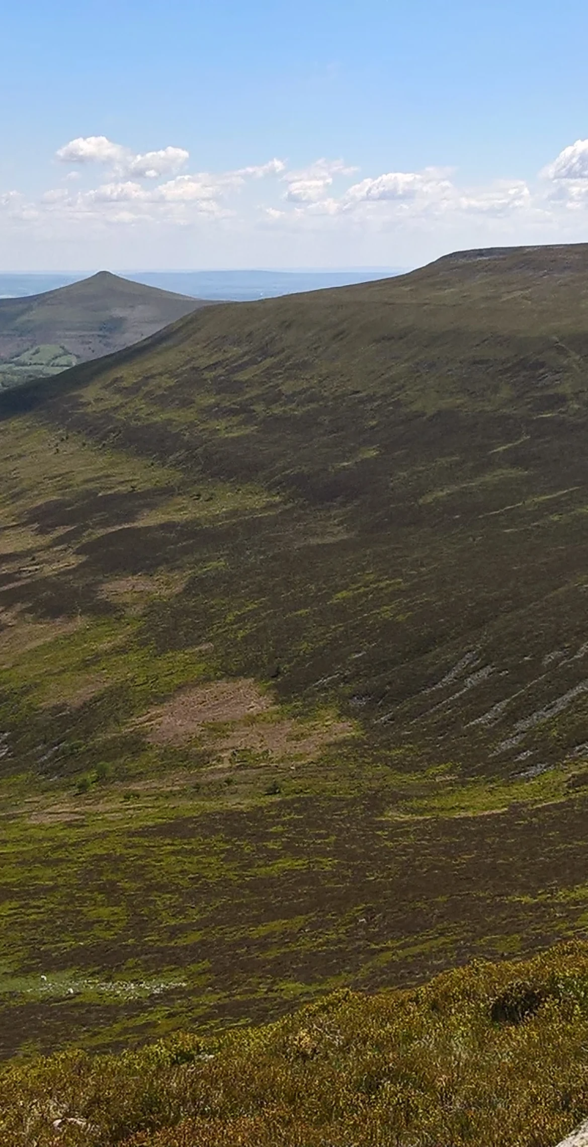


Unusually for the Black Mountains, a band of Carboniferous Limestone outcrops around this 701 m summit, which explains the name: 'top of the limestone rock'. An ancient cairn marks the top, high above the Usk valley and Crickhowell. The most popular route climbs the south-eastern spur from Crug Hywel, or Table Mountain, a presumed Iron Age hillfort, and a ridge leads on to Pen Allt-mawr, 2.1 km away.
New to the Pennants?Read our guide: What Are The Welsh Pennants?Old Red Sandstone mudstones and sandstones, with a band of Carboniferous Limestone and a few shakeholes around a summit of pebbly sandstone.
Summit Weather
Our Route
Also on this route: Pen Allt-mawr
Safety: Routes are a guide only. Carry a map and compass and know how to use them, check the weather before you go, and turn back if in doubt. You use this route at your own risk.