


Hill data: The Database of British and Irish Hills v18.6 (CC BY 4.0)Height741 m2,431 ft
Grid RefSN 81495 87755
OS Map214OS Explorer
AreaPumlumon
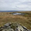
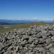
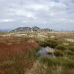
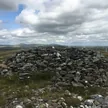
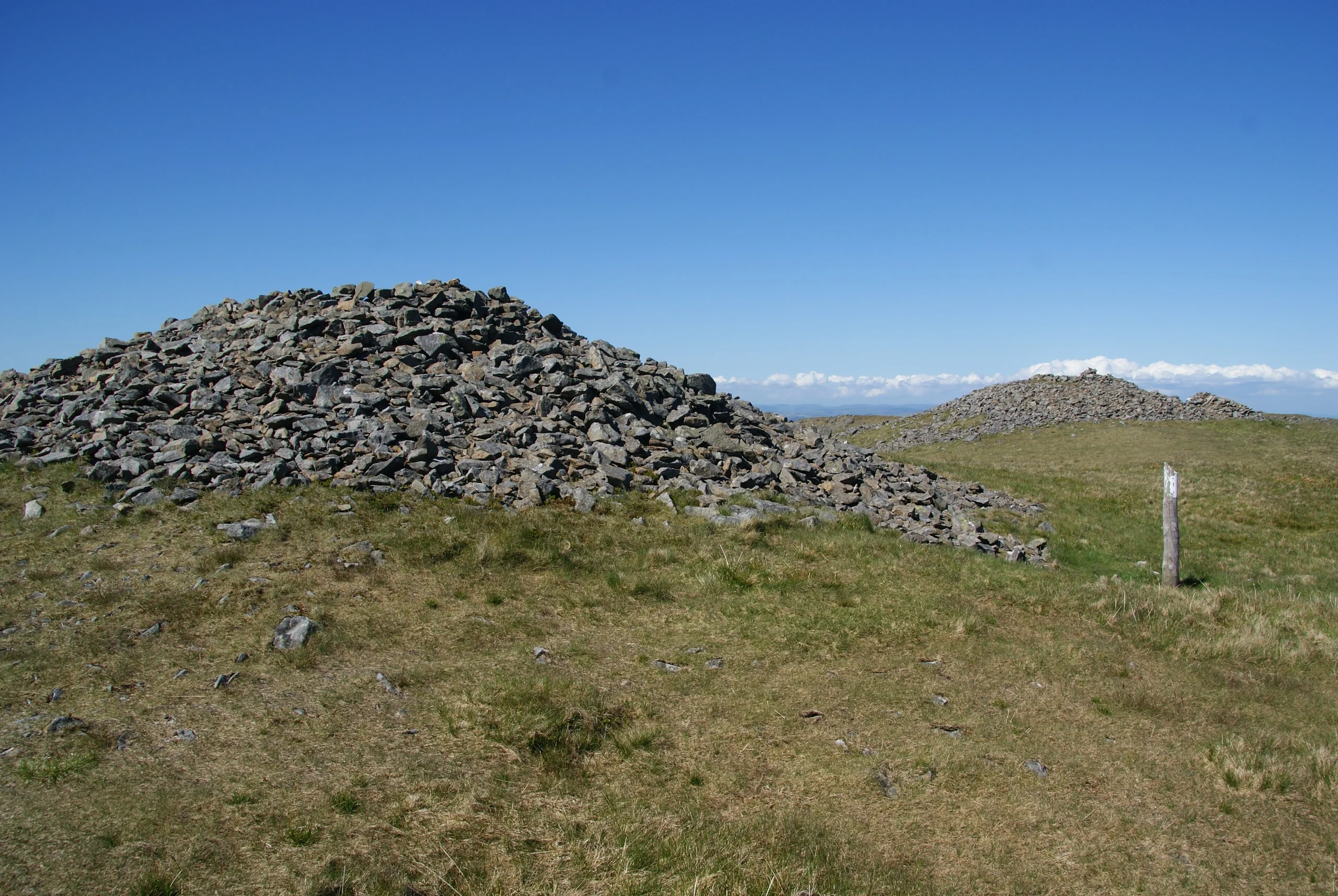
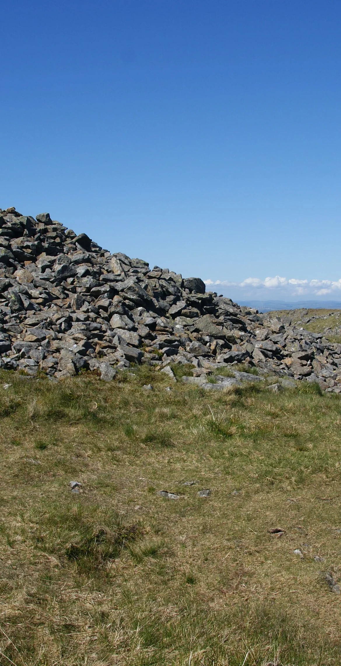
Second highest summit of the Plynlimon massif in the Cambrian Mountains, Pen Pumlumon Arwystli reaches 741 m. Its grassy top carries large ancient cairns, with the highest point at the southerly one. The River Severn, Britain's longest river, has its source on a lower boggy plateau to the north, and views run south to Drygarn Fawr and north to Aran Fawddwy and Tarrenhendre.
New to the Pennants?Read our guide: What Are The Welsh Pennants?Rock & Ground
The summit is grassy.
Summit Weather
Our Route
Distance9.4 mi15.2 km
Ascent580 m1,900 ft
Time4h 45mwalking
Start & FinishSN 7978 8406Circular route, back to the same spot
DirectionsAlso on this route: Pumlumon Fawr, Pen Pumlumon Llygad-bychan, Y Garn (Pumlumon)
Safety: Routes are a guide only. Carry a map and compass and know how to use them, check the weather before you go, and turn back if in doubt. You use this route at your own risk.