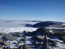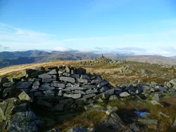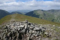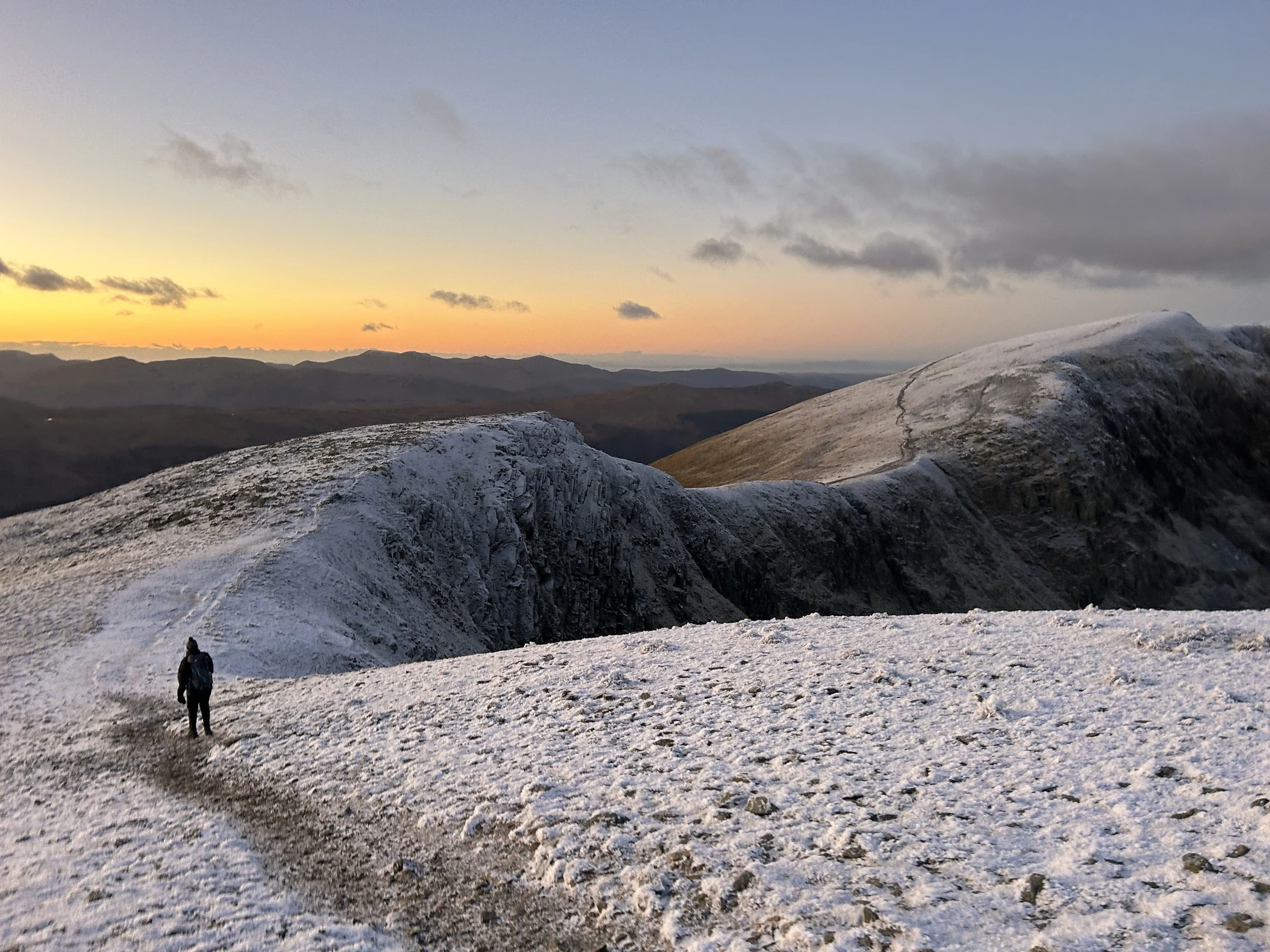

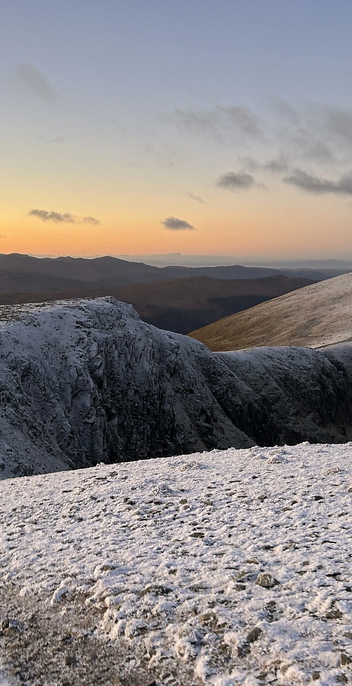


Dollywaggon Pike is the southern end of the main Helvellyn ridge, with a cairn on its top and gentle grass to the west, but the east side falls away in crags and boulders into Cock Cove and Grisedale. The Tongue, a rocky ridge with a series of steps, gives a long way up from Patterdale. Copper and lead were once mined on the fell's flanks, and Grisedale Tarn, below to the south, is deep enough to hold trout, perch and eels.
New to the Wainwrights?Read our guide: What Are The Wainwrights?Cairn
Volcanic sandstone over tuff, grassy to the west and craggy with scree to the east.
HewittNuttallBirkettSyngeFellrangerSimm
Summit Weather
Our Route
Also on this route: Nethermost Pike, Catstycam
Safety: Routes are a guide only. Carry a map and compass and know how to use them, check the weather before you go, and turn back if in doubt. You use this route at your own risk.