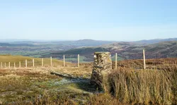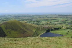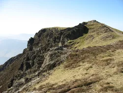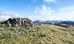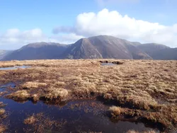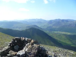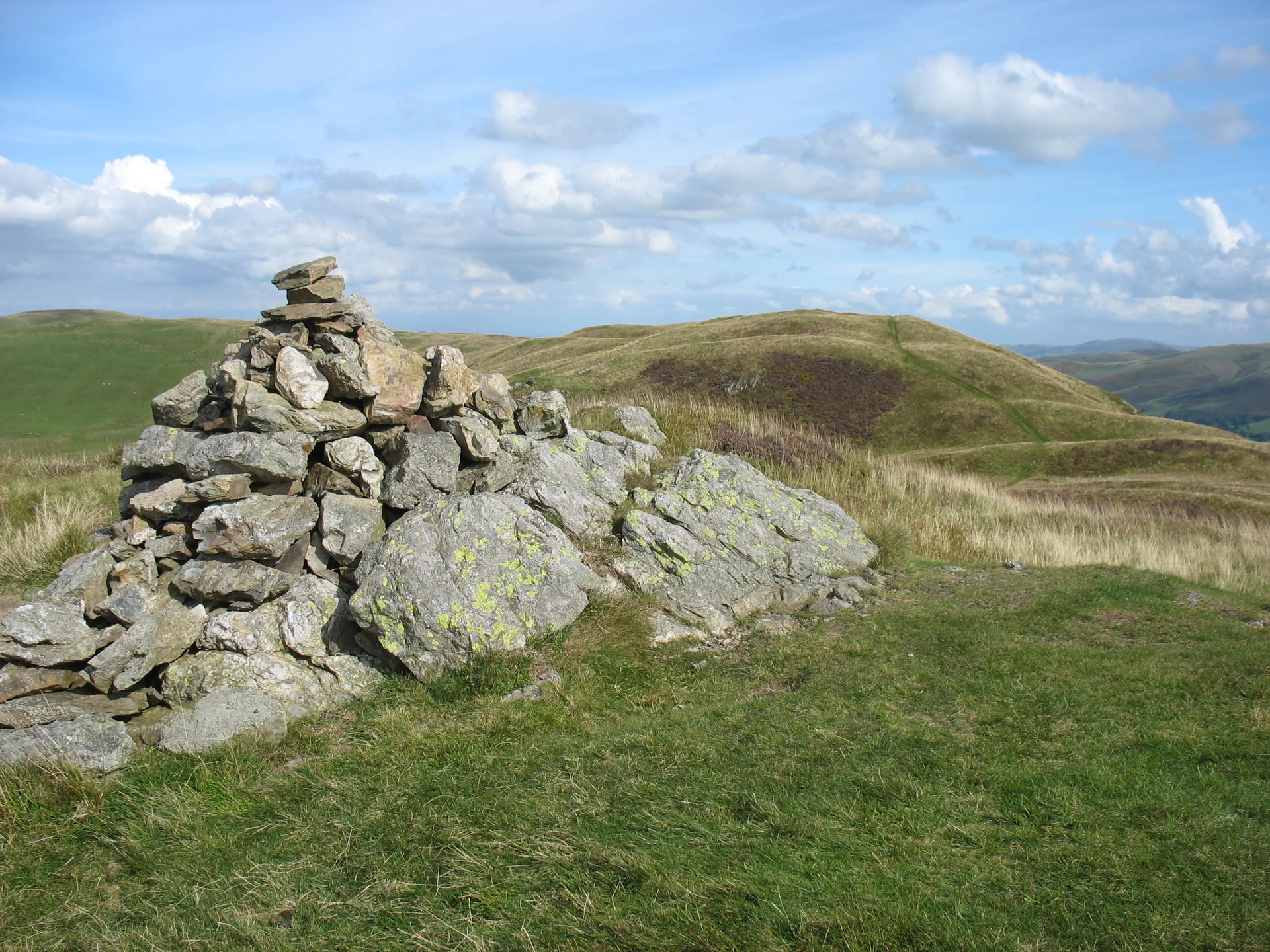


Despite its name, Low Fell is the higher of the two tops on this ridge above Loweswater, a point Ordnance Survey mapping settled after Wainwright had his doubts. The highest ground is by a small cairn among short grass and big rocks. Southwards the view runs down the Buttermere valley over Crummock Water, and since 2020 the fell has been run as a nature reserve, with sheep kept off and scrub being planted.
New to the Wainwrights?Read our guide: What Are The Wainwrights?Ground by small cairn
Greywacke sandstone over mudstone and siltstone, mostly grassy with rocky outcrops near the top.
BirkettSyngeFellrangerMarilyn
Summit Weather
Our Route
Also on this route: Fellbarrow
Safety: Routes are a guide only. Carry a map and compass and know how to use them, check the weather before you go, and turn back if in doubt. You use this route at your own risk.