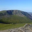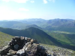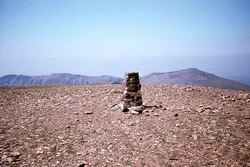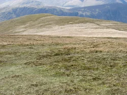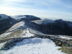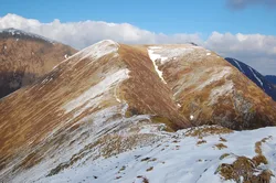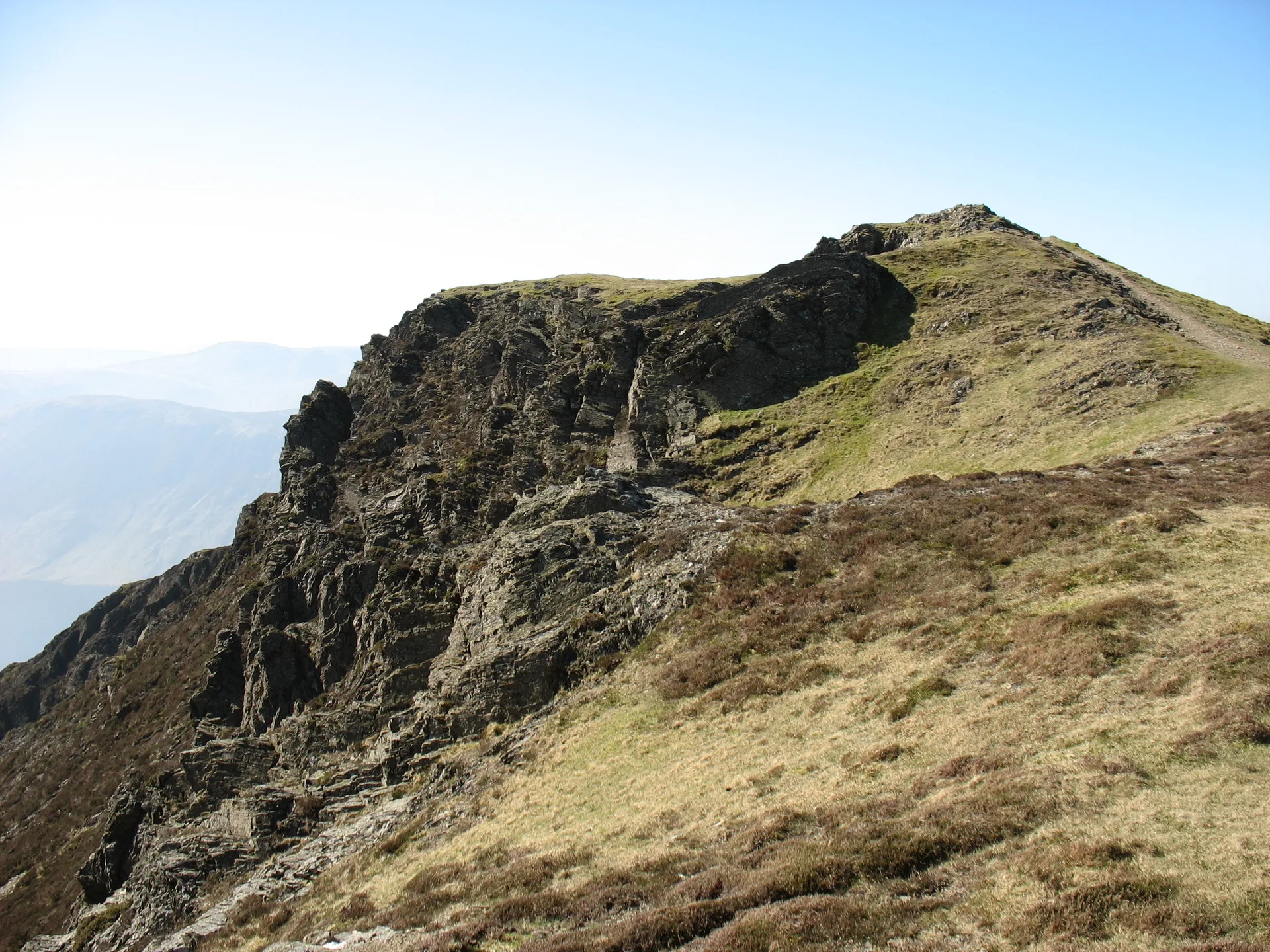


Whiteside rises above Crummock Water, and its western top, marked by just a few stones, is the one Wainwright used as the summit, even though the ridge climbs a little higher further east. From there the ridge runs on towards Hopegill Head, above the crags of Gasgale Gill. The view stretches over West Cumberland and the Solway Firth to the hills of Scotland, and galena was once dug from a small working beneath Whiteside End.
New to the Wainwrights?Read our guide: What Are The Wainwrights?A few stones
Skiddaw Group mudstone and greywacke; heathery slopes with crags dropping into Gasgale Gill.
NuttallBirkettSyngeFellranger
Summit Weather
Our Route
Also on this route: Grisedale Pike, Hopegill Head, Whiteless Pike, Barrow, Rannerdale Knotts
Safety: Routes are a guide only. Carry a map and compass and know how to use them, check the weather before you go, and turn back if in doubt. You use this route at your own risk.