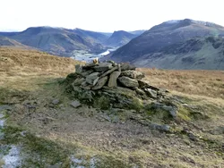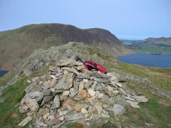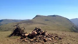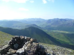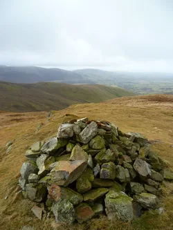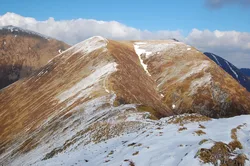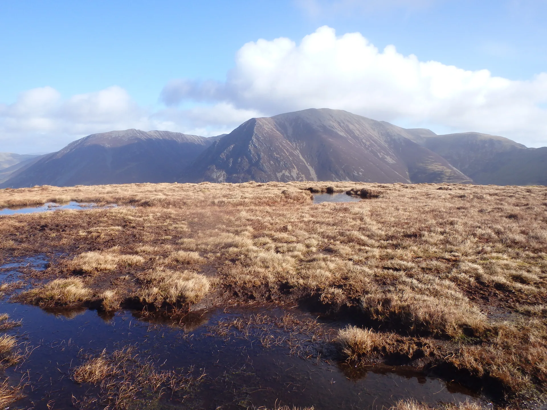


Mellbreak runs alongside Crummock Water, its eastern slopes falling straight to the shore, and it has two tops: the higher south one, with a flat rock at its highest point, and the rocky north top above the crags of the north face. The name is thought to blend the Celtic moel, a bare hill, with the Norse brekka, a slope. Across the lake you look at Grasmoor and Rannerdale Knotts.
New to the Wainwrights?Read our guide: What Are The Wainwrights?Flat rock
Mudstone and siltstone with a basalt intrusion, steep crags and a long scree slope.
DeweyBirkettSyngeFellrangerMarilyn
Summit Weather
Our Route
Also on this route: Blake Fell, Gavel Fell, Hen Comb, Burnbank Fell
Safety: Routes are a guide only. Carry a map and compass and know how to use them, check the weather before you go, and turn back if in doubt. You use this route at your own risk.