


Hill data: The Database of British and Irish Hills v18.6 (CC BY 4.0)Height475 m1,558 ft
Grid RefNY 11002 20953
OS MapOL4 & 303OS Explorer
BookWestern FellsBook 7
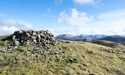
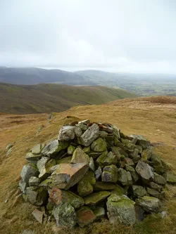
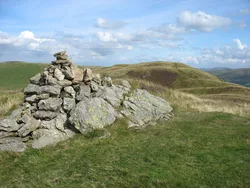
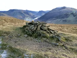
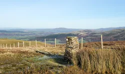
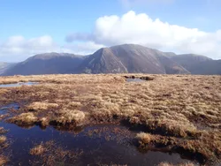
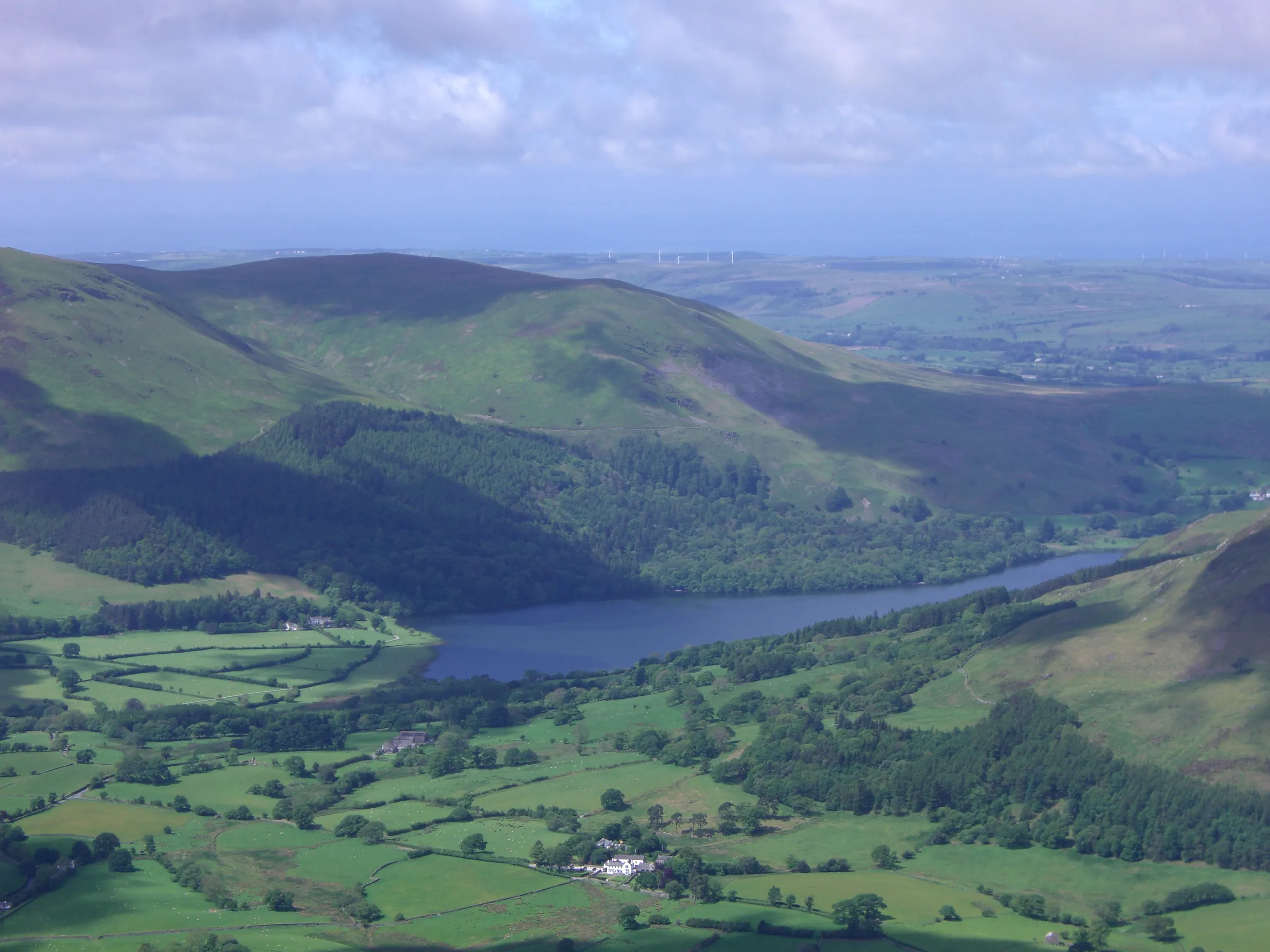
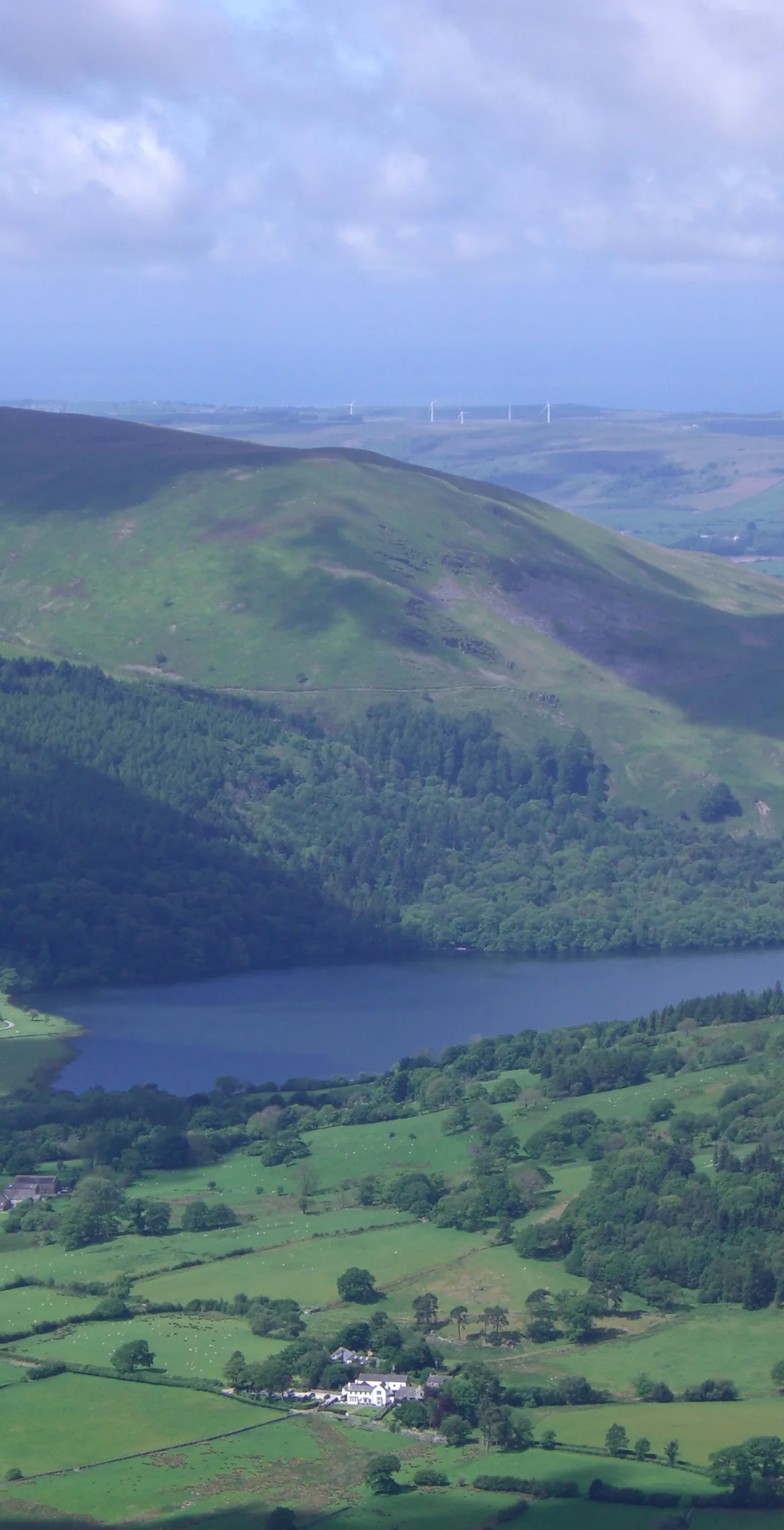
Burnbank Fell is a rounded, grassy dome above Loweswater, and its highest point is an old metal post where fences meet, with a small cairn beside it. Old mine levels lie above Wisenholme Beck. Blake Fell blocks much of the Lakeland view, but a few steps north-east you can see Crummock Water, and the coast, Isle of Man and Criffel are all on show.
New to the Wainwrights?Read our guide: What Are The Wainwrights?Summit
Metal post at fence corner
Rock & Ground
Mudstone and siltstone with greywacke on the east, grassy on top, steeper with crags north-east.
Also On These Lists
BirkettSynge
Summit Weather
Our Route
Distance11.2 mi18.1 km
Ascent1,000 m3,280 ft
Time6h 10mwalking
Start & FinishMaggie's Bridge Car ParkNY 1344 2103 · circular route
DirectionsAlso on this route: Blake Fell, Gavel Fell, Mellbreak, Hen Comb
Safety: Routes are a guide only. Carry a map and compass and know how to use them, check the weather before you go, and turn back if in doubt. You use this route at your own risk.