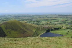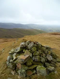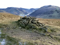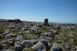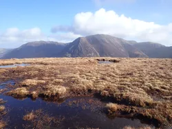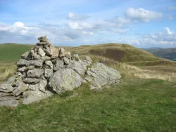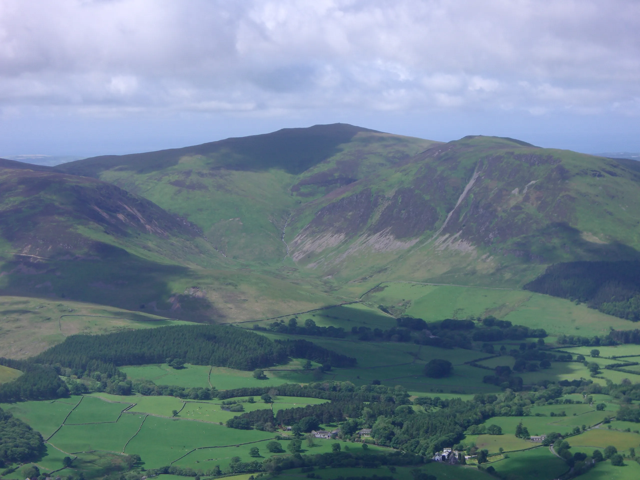

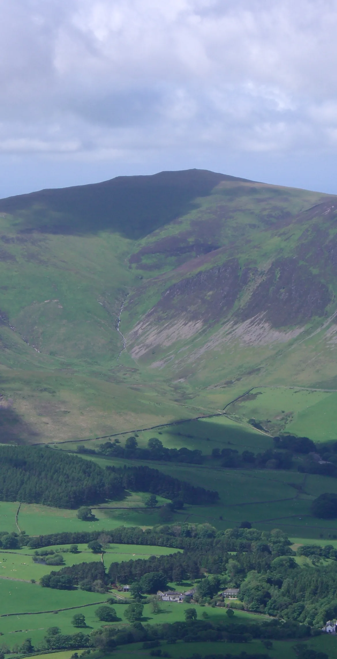


Blake Fell is the highest of the Loweswater Fells, a grassy dome with a stone shelter at the top where the ridge paths meet. Nothing higher stands to the west, so the view runs out to the sea, while the North Western Fells line up across Crummock Water. Conifers cover the western slopes, and the valley below holds Cogra Moss reservoir and traces of the Victorian iron-ore railway that served mines on neighbouring Knock Murton. The name is thought to mean 'black fell'.
New to the Wainwrights?Read our guide: What Are The Wainwrights?No feature 3 m east of shelter
Laminated mudstone and siltstone forming a grassy dome, with rougher outcrops on Carling Knott.
DeweyBirkettSyngeFellrangerMarilyn
Summit Weather
Our Route
Also on this route: Gavel Fell, Mellbreak, Hen Comb, Burnbank Fell
Safety: Routes are a guide only. Carry a map and compass and know how to use them, check the weather before you go, and turn back if in doubt. You use this route at your own risk.