


Hill data: The Database of British and Irish Hills v18.6 (CC BY 4.0)Height1,000.9 m3,284 ft
Grid RefSH 64246 57956
OS MapOL17OS Explorer
AreaThe Glyders
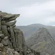
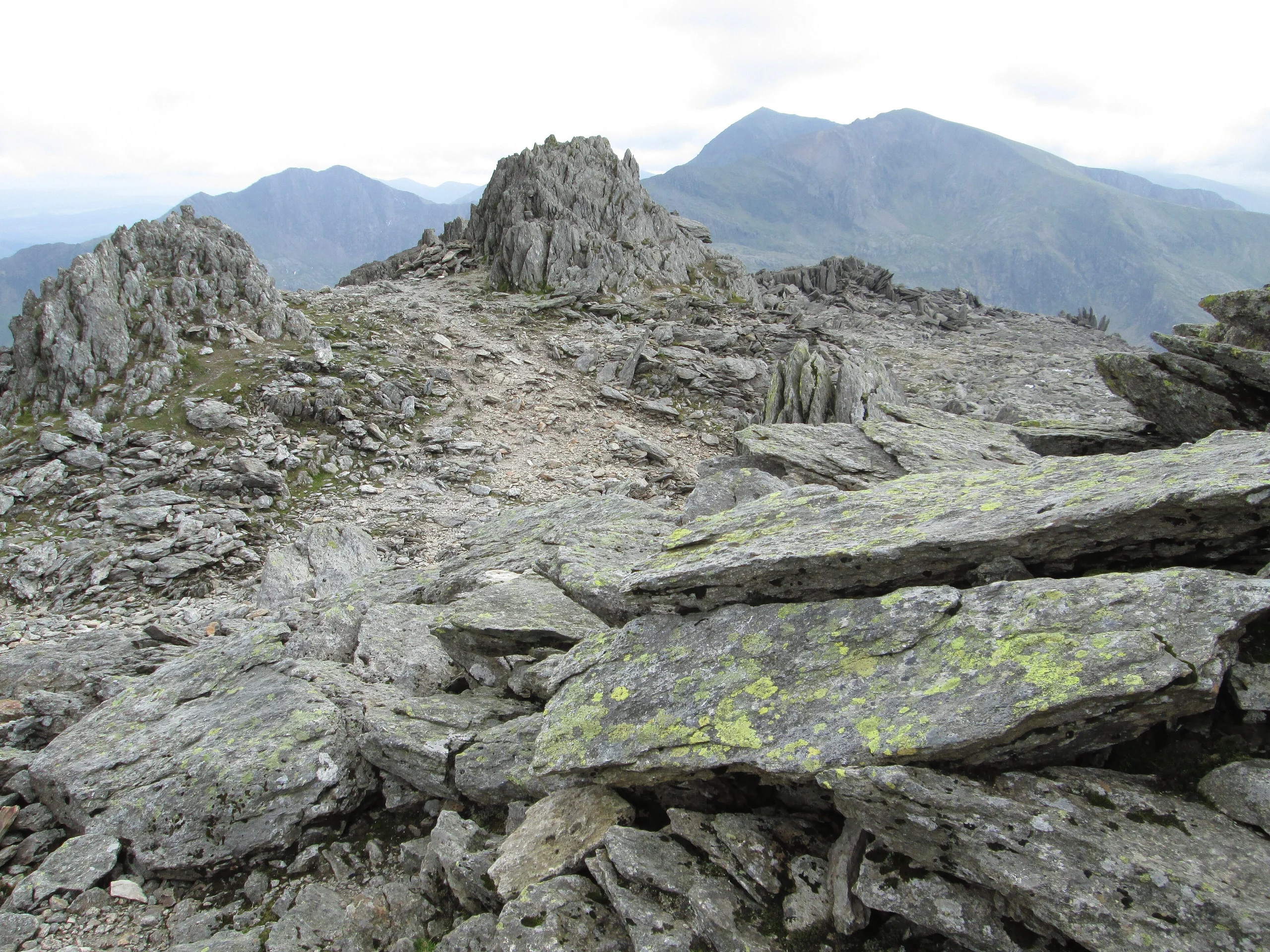
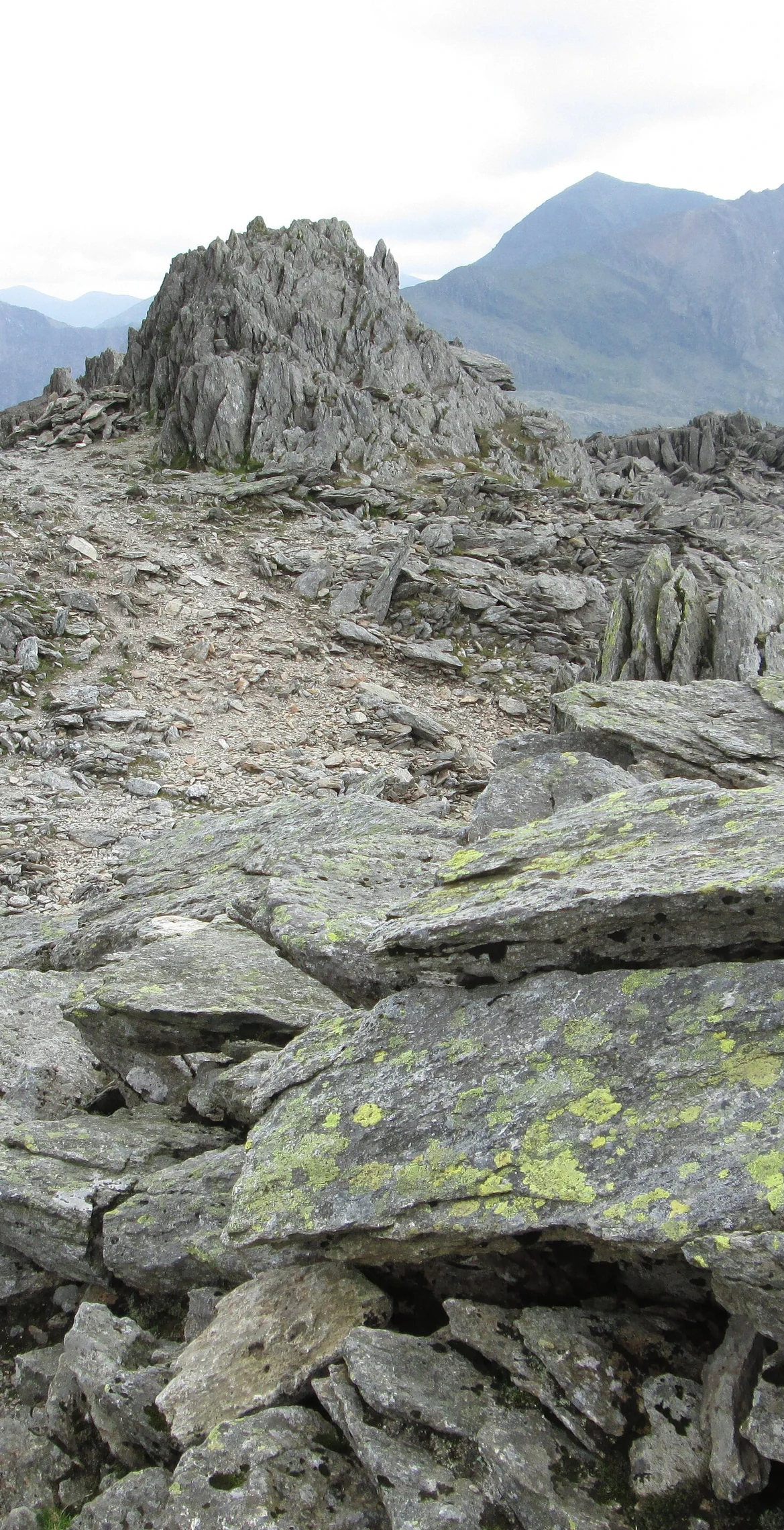
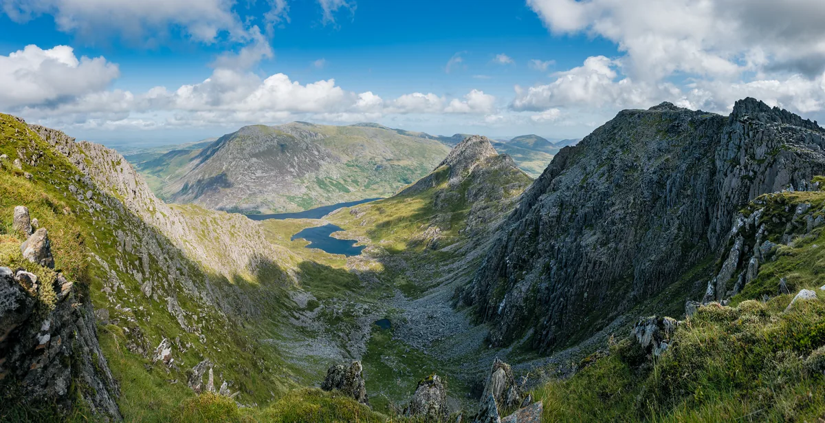
Highest of the Glyders at 1000.9 m, Glyder Fawr and its neighbour Glyder Fach give the range its name, with 'Glyder' said to come from the Welsh 'cludair', a heap of stones. It lies in the eastern half of the range, which is very popular with walkers and climbers. The summit is a rock tor, with Glyder Fach 1.4 km away and Y Garn 2.0 km away.
New to the Pennants?Read our guide: What Are The Welsh Pennants?Rock & Ground
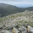
The ridge to Glyder Fach is covered with coarse grasses and heather and strewn with boulders and rock slabs.
Summit Weather
Our Route
Distance8.3 mi13.3 km
Ascent1,260 m4,130 ft
Time5h 15mwalking
Start & FinishSH 6593 6019Circular route, back to the same spot
DirectionsAlso on this route: Glyder Fach, Tryfan, Y Foel Goch, Gallt yr Ogof
Safety: Routes are a guide only. Carry a map and compass and know how to use them, check the weather before you go, and turn back if in doubt. You use this route at your own risk.