


Hill data: The Database of British and Irish Hills v18.6 (CC BY 4.0)Height469.6 m1,541 ft
Grid RefSE 002 028
OS MapOL1OS Explorer
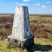
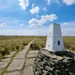
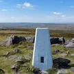
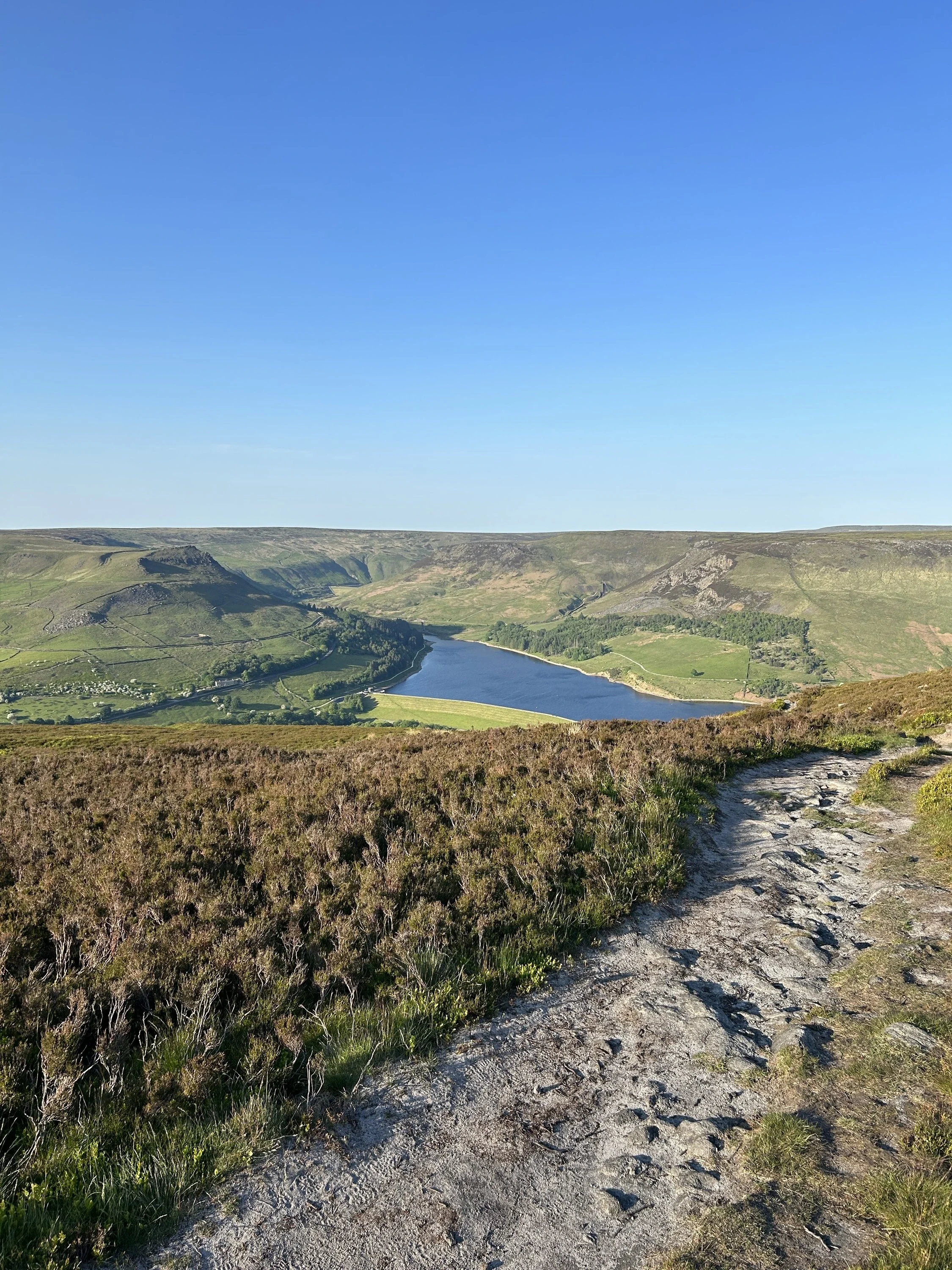
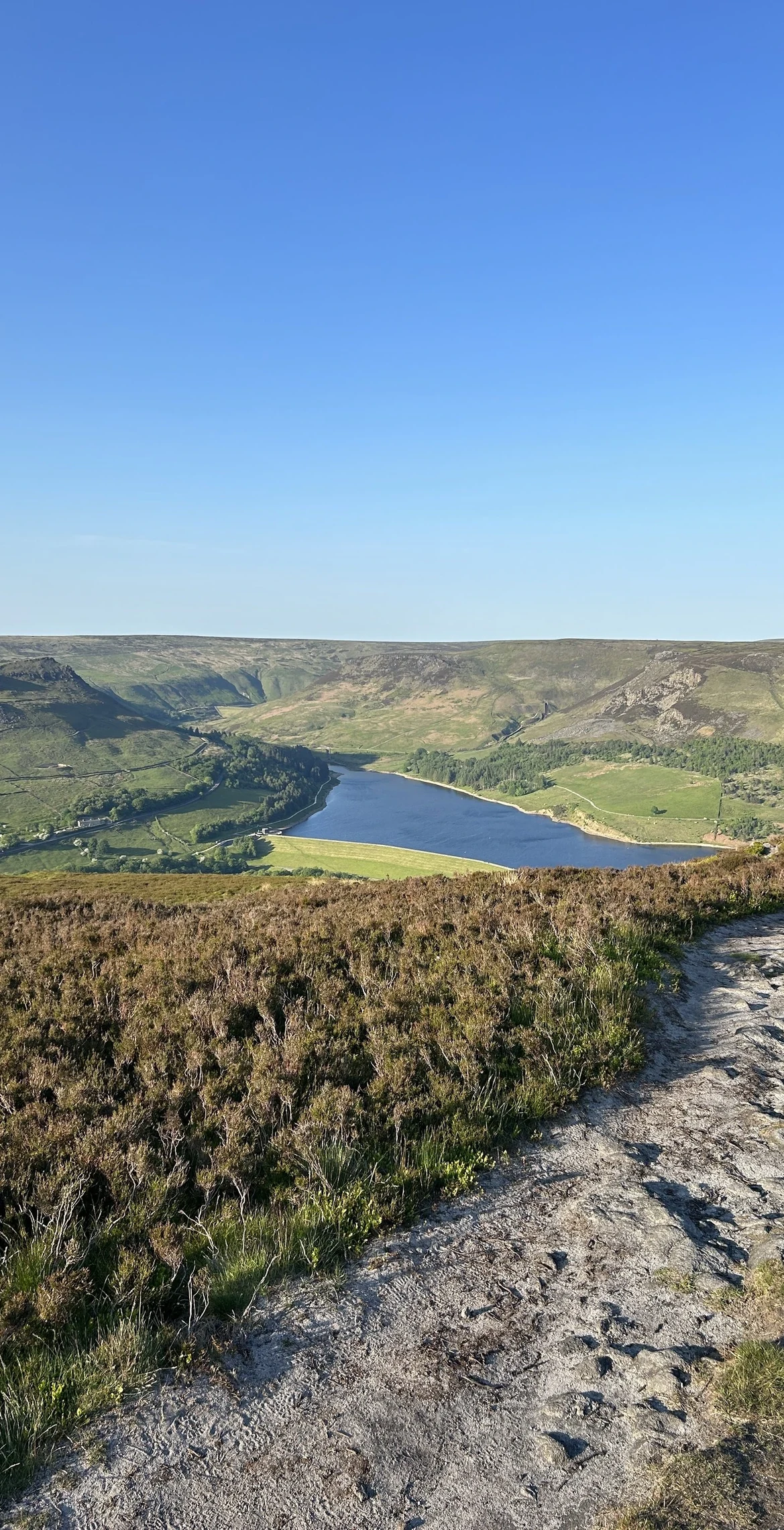
Alphin Pike is the steep-sided spur that rises straight out of Greenfield, with Dove Stone Reservoir tucked under its eastern flank. A cairn and shelter mark the named top, though the moor keeps climbing gently south-east towards the Chew Valley edges. From the top you look down on the reservoirs and the gritstone crags of Wimberry, known locally as the Indian's Head.
New to the Ethels?Read our guide: What Are The Peak District Ethels?Summit
Cairn/shelter
Rock & Ground
Millstone grit moorland of heather and peat, with steep grassy slopes falling to the valley.
Summit Weather
Our Route
Distance9.8 mi15.8 km
Ascent630 m2,070 ft
Time4h 55mwalking
Start & FinishSE 0134 0346Circular route, back to the same spot
DirectionsAlso on this route: Ashway Moss
Safety: Routes are a guide only. Carry a map and compass and know how to use them, check the weather before you go, and turn back if in doubt. You use this route at your own risk.