

Hill data: The Database of British and Irish Hills v18.6 (CC BY 4.0)Height530 m1,739 ft
Grid RefSE 086 021
OS MapOL1OS Explorer
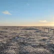
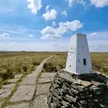
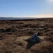
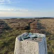
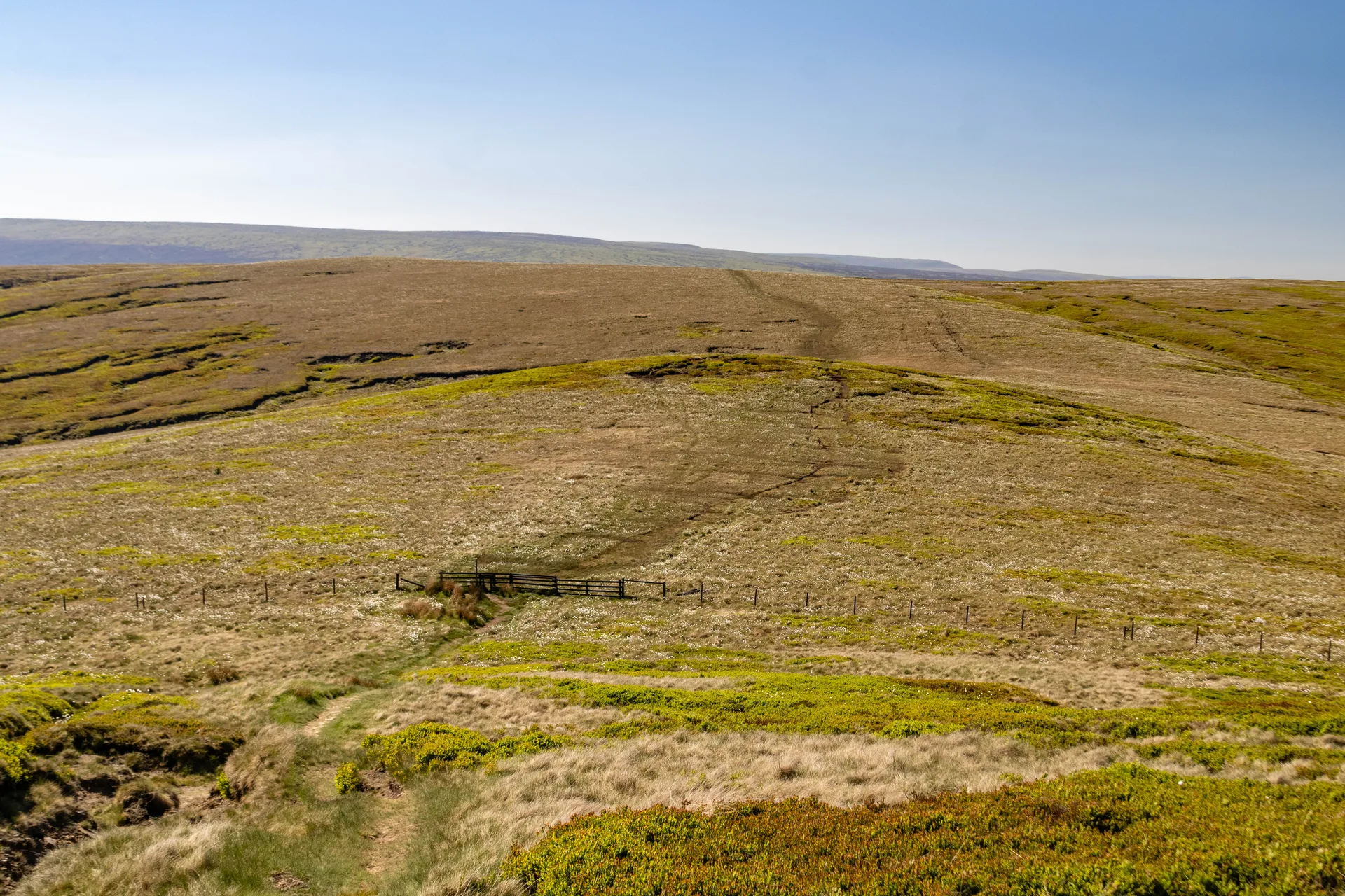
White Low is a broad, almost level swell of peat moor on the ridge running north from Westend Moss towards Black Hill. Nothing marks the top, and on such flat ground spots hundreds of metres away are only fractionally lower. The path along the ridge is boggy enough to need regular detours, and in clear weather the Holme Moss TV mast stands out to the east.
New to the Ethels?Read our guide: What Are The Peak District Ethels?Summit
No feature
Rock & Ground
Flat, boggy peat moorland on Millstone Grit, with old fence posts along the ridge.
Summit Weather
Our Route
Distance5.2 mi8.4 km
Ascent340 m1,120 ft
Time2h 35mwalking
StartSK 0724 9925Grid reference of the start
DirectionsSafety: Routes are a guide only. Carry a map and compass and know how to use them, check the weather before you go, and turn back if in doubt. You use this route at your own risk.