

Hill data: The Database of British and Irish Hills v18.6 (CC BY 4.0)Height542 m1,778 ft
Grid RefSE 056 019
OS MapOL1OS Explorer
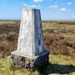
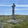
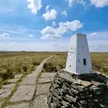
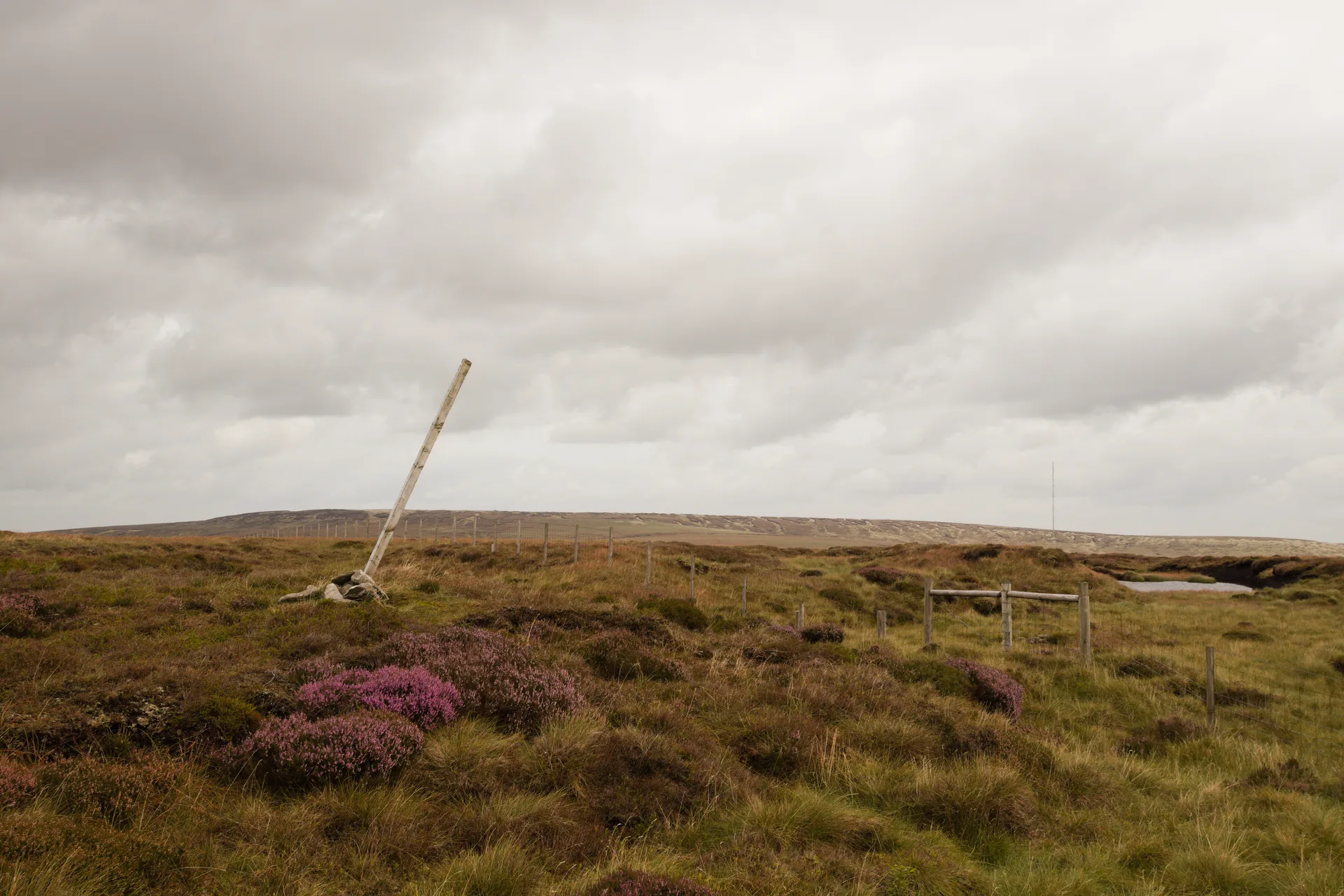
Black Chew Head is the roof of Greater Manchester, a peaty rise above the dark water of Chew Reservoir. The top is easy to miss: a small cairn and a big post by a stile in the fence, with the true high point just beside them. The Pennine Way runs a short way to the east, and the 2018 Saddleworth Moor wildfire burned ground just to the west.
New to the Ethels?Read our guide: What Are The Peak District Ethels?Summit
Ground 3 m north of small cairn with large post near stile in fence
Rock & Ground
Deep blanket peat on millstone grit, cut by groughs and cotton-grass bog.
Also On These Lists
Dewey
Summit Weather
Our Route
Distance6.5 mi10.5 km
Ascent390 m1,280 ft
Time3h 15mwalking
StartSK 0723 9926Grid reference of the start
DirectionsAlso on this route: Featherbed Moss
Safety: Routes are a guide only. Carry a map and compass and know how to use them, check the weather before you go, and turn back if in doubt. You use this route at your own risk.