


Hill data: The Database of British and Irish Hills v18.6 (CC BY 4.0)Height581.1 m1,906 ft
Grid RefSE 078 047
OS MapOL1OS Explorer
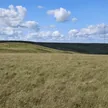
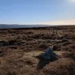
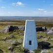
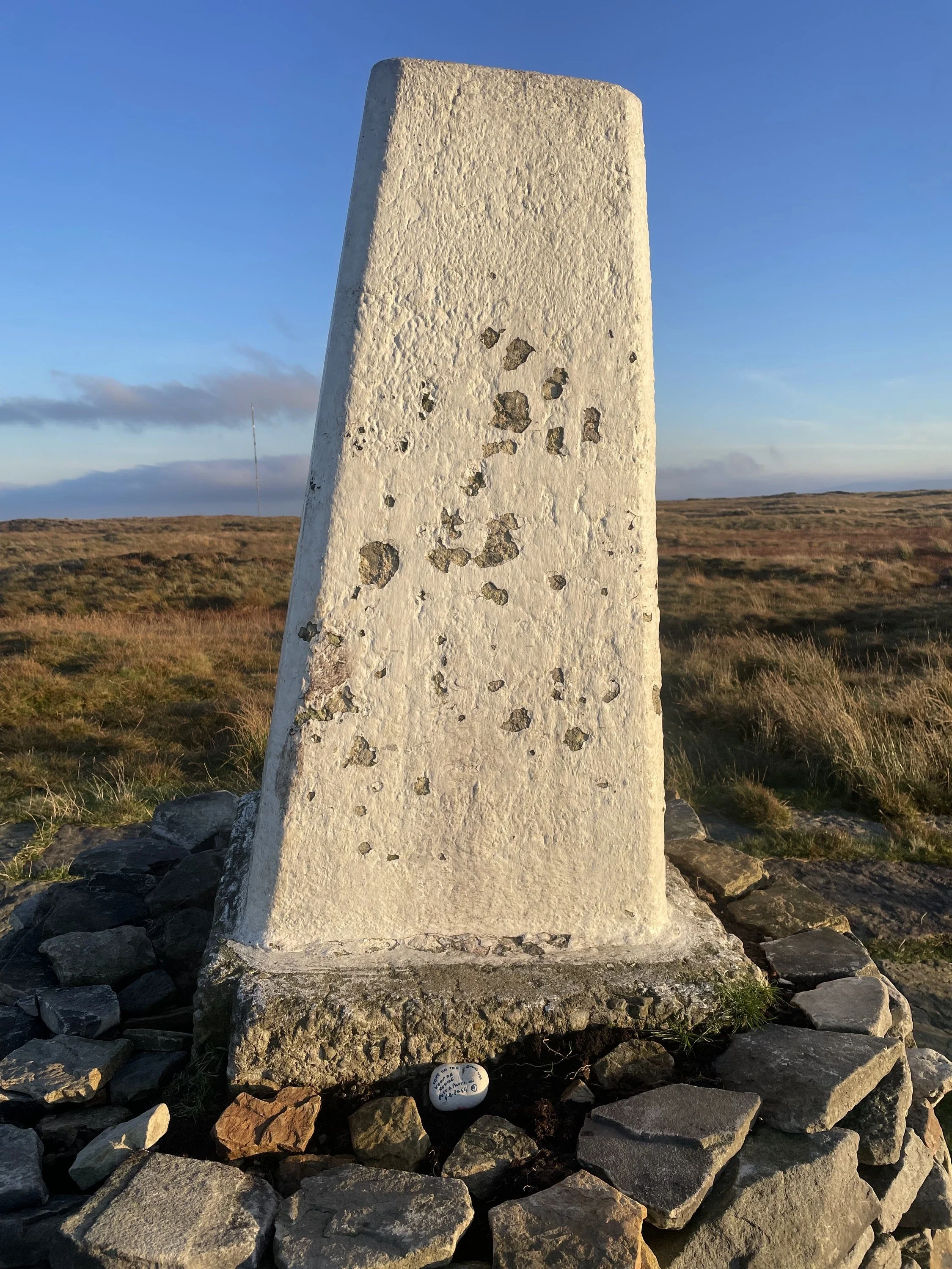
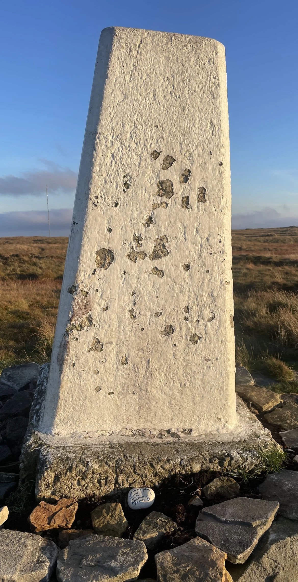
For years Black Hill lived up to its name, a summit of bare black peat that turned to quagmire after rain. Reseeding by the Moors for the Future Partnership has since greened much of it, and the Pennine Way now crosses on paving slabs. The trig point sits on a low mound called Soldiers' Lump, and the hill was once the top of Cheshire before becoming the highest point in West Yorkshire.
New to the Ethels?Read our guide: What Are The Peak District Ethels?Summit
No marker: 85 m north of trig point at south-east 07816 04687
Rock & Ground
Flat millstone grit plateau under deep blanket peat, slowly re-vegetating with cotton grass.
Also On These Lists
DeweyMarilynCounty Top
Summit Weather
Our Route
Distance3.6 mi5.9 km
Ascent230 m750 ft
Time1h 50mwalking
StartSE 0753 0718Grid reference of the start
DirectionsSafety: Routes are a guide only. Carry a map and compass and know how to use them, check the weather before you go, and turn back if in doubt. You use this route at your own risk.