

Hill data: The Database of British and Irish Hills v18.6 (CC BY 4.0)Height523.6 m1,718 ft
Grid RefSE 106 025
OS MapOL1OS Explorer
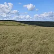
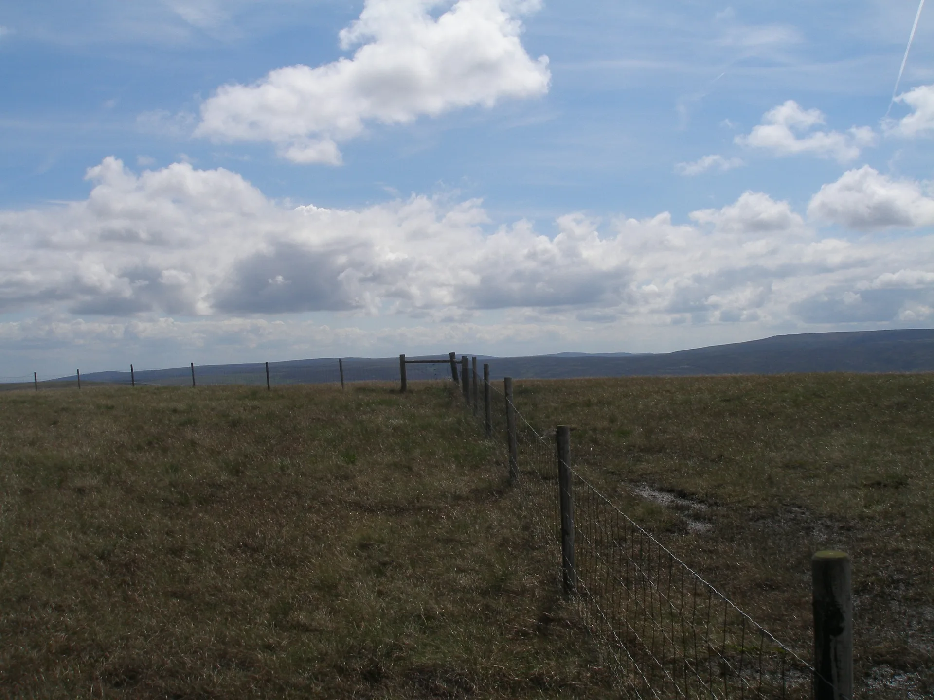
Britland Edge Hill is a wet, unmarked patch of moorland north of the Woodhead valley, not far from the Holme Moss transmitter mast. There's no cairn or post, just ground on the south side of a fence that's slightly higher than the rest. Most people reach it from Holme Moss by following the fence line across the bog.
New to the Ethels?Read our guide: What Are The Peak District Ethels?Summit
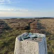
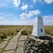
No marker: ground just south of fence
Rock & Ground
Flat millstone grit moorland under blanket peat, cotton grass and wet bog.
Summit Weather
Our Route
Distance9.2 mi14.8 km
Ascent360 m1,180 ft
Time4h 35mwalking
Start & FinishSE 1529 0204Circular route, back to the same spot
DirectionsAlso on this route: Dead Edge End, Snailsden Pike End
Safety: Routes are a guide only. Carry a map and compass and know how to use them, check the weather before you go, and turn back if in doubt. You use this route at your own risk.