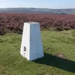


Hill data: The Database of British and Irish Hills v18.6 (CC BY 4.0)Height380 m1,247 ft
Grid RefSK 130 626
OS MapOL24OS Explorer
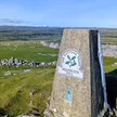
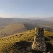
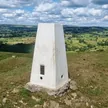
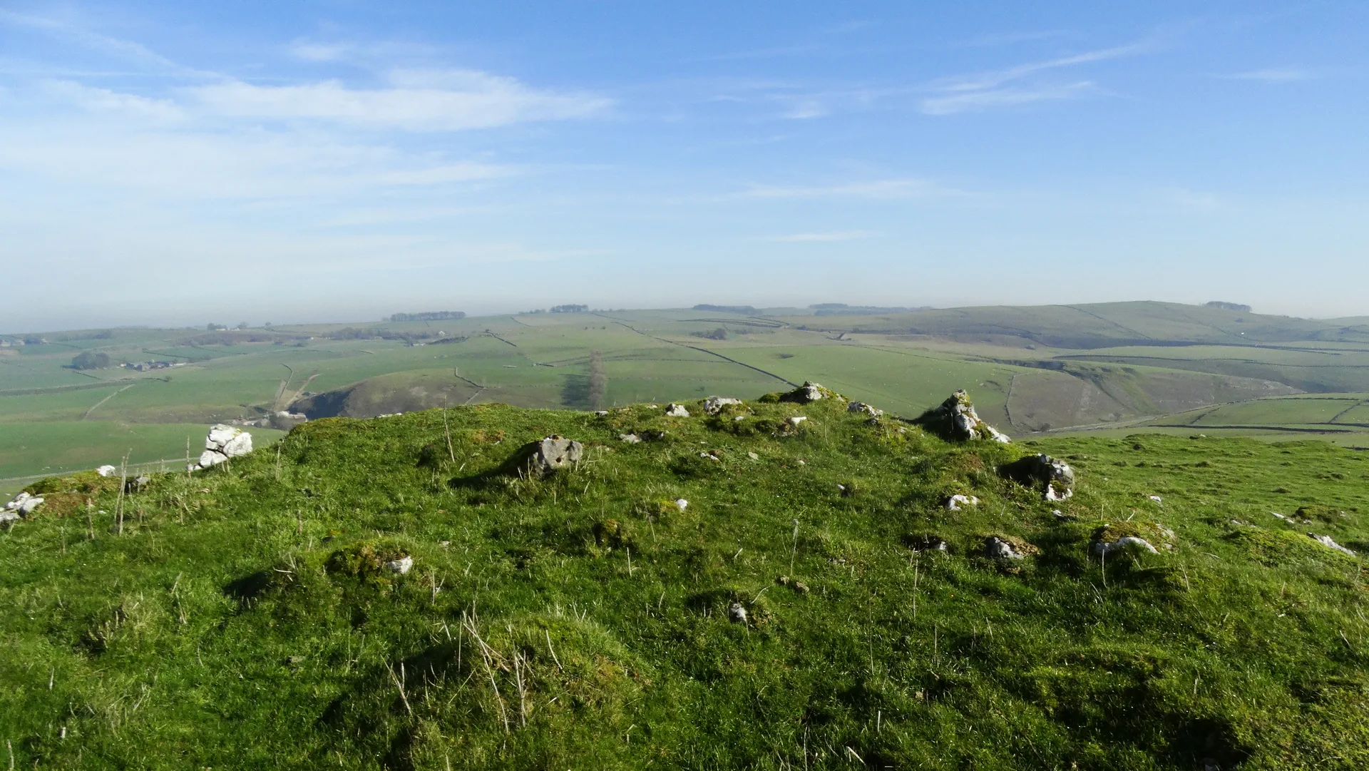
Carder Low is a small limestone hill above Hartington in the upper Dove valley, topped by a rocky outcrop. Thomas Bateman dug into its Bronze Age barrow in 1845 and found a crouched burial with a bronze dagger and a perforated stone battle axe, plus a later burial with an iron knife. On its flanks, old lead mines left a line of hillocks, a shaft and the ring of a horse gin.
New to the Ethels?Read our guide: What Are The Peak District Ethels?Summit
Rock
Rock & Ground
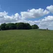
Carboniferous limestone knoll with short grass, rock outcrops and lead-mine spoil.
Summit Weather
Our Route
Distance7.2 mi11.5 km
Ascent430 m1,410 ft
Time3h 40mwalking
Start & FinishSK 0980 6633Circular route, back to the same spot
DirectionsAlso on this route: High Wheeldon, Pilsbury Hill
Safety: Routes are a guide only. Carry a map and compass and know how to use them, check the weather before you go, and turn back if in doubt. You use this route at your own risk.