


Hill data: The Database of British and Irish Hills v18.6 (CC BY 4.0)Height395 m1,296 ft
Grid RefSK 120 639
OS MapOL24OS Explorer
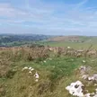
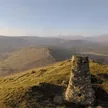
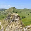
Pilsbury Hill stands above the upper Dove between Hartington and Crowdecote, with a grassy mound marking its top. Just below to the west are the earthworks of Pilsbury Castle, a Norman motte with two baileys built on a limestone outcrop overlooking the river. Historians still argue over whether the de Ferrers family raised it after the Conquest or during the civil war of the 12th century.
New to the Ethels?Read our guide: What Are The Peak District Ethels?Summit
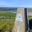
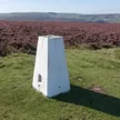
Grassy mound
Rock & Ground
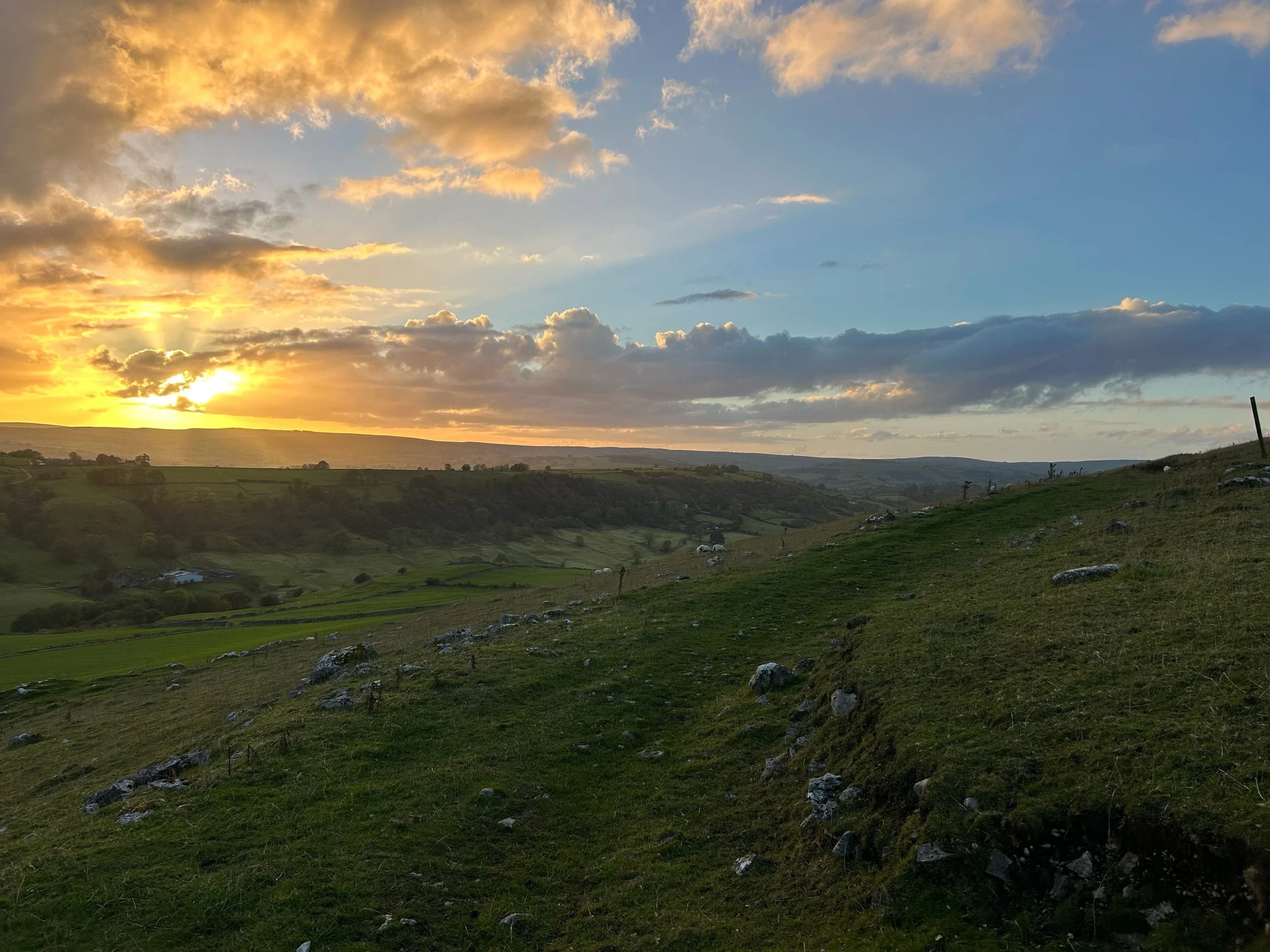
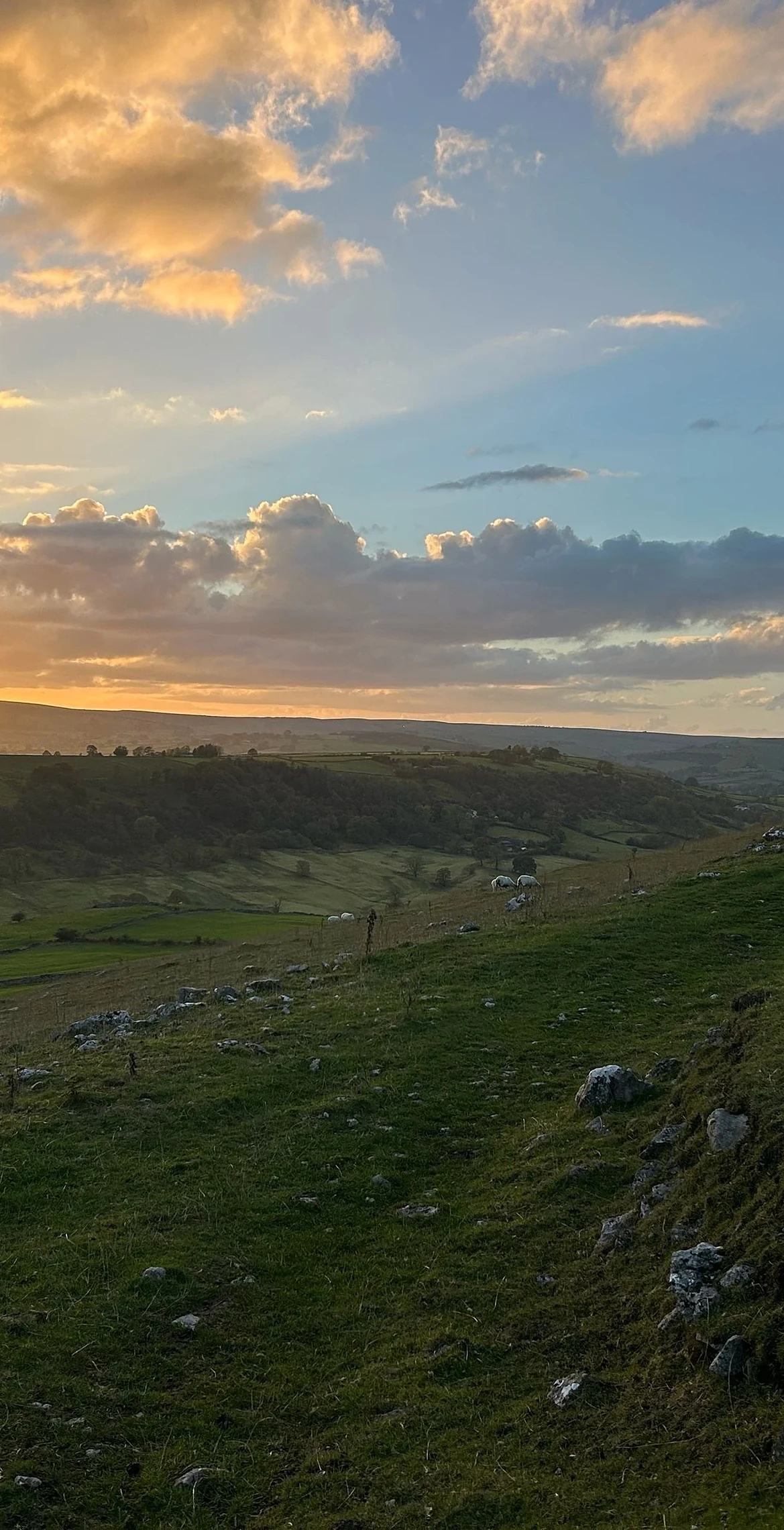
Limestone hill with short grass and drystone-walled pasture.
Summit Weather
Our Route
Distance7.2 mi11.5 km
Ascent430 m1,410 ft
Time3h 40mwalking
Start & FinishSK 0980 6633Circular route, back to the same spot
DirectionsAlso on this route: Carder Low, High Wheeldon
Safety: Routes are a guide only. Carry a map and compass and know how to use them, check the weather before you go, and turn back if in doubt. You use this route at your own risk.