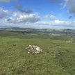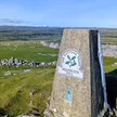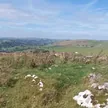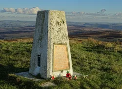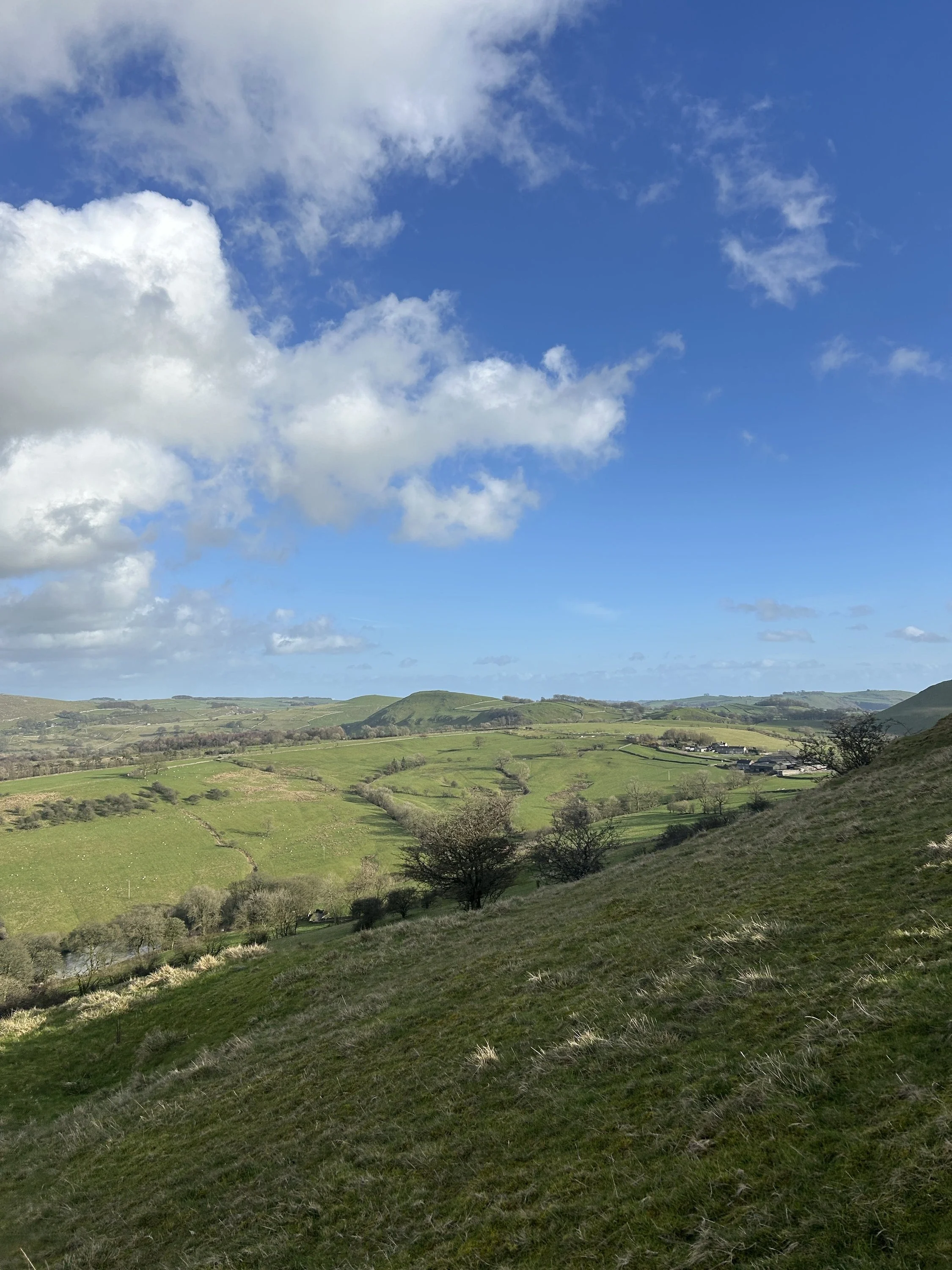

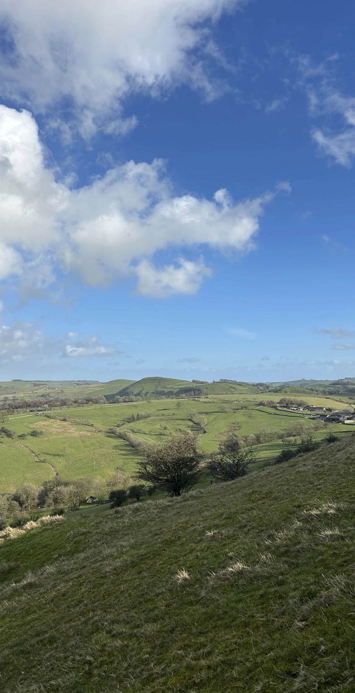


Above the Manifold valley, Ecton Hill hides one of England's great copper mines beneath its grassy back. Copper and lead were probably dug here from the 1500s, and in the 18th century the Deep Ecton mine made a fortune for the Dukes of Devonshire. The Duke's profits are said to have helped pay for The Crescent at Buxton. The top has a trig point, with spoil heaps and old shafts scattered across the slopes.
New to the Ethels?Read our guide: What Are The Peak District Ethels?Embedded rock 3 m NNW of trig point
Folded Carboniferous limestone riddled with old mine workings, under short grass and spoil heaps.
Summit Weather
Our Route
Also on this route: Wetton Hill
Safety: Routes are a guide only. Carry a map and compass and know how to use them, check the weather before you go, and turn back if in doubt. You use this route at your own risk.