


Hill data: The Database of British and Irish Hills v18.6 (CC BY 4.0)Height371 m1,217 ft
Grid RefSK 112 565
OS MapOL24OS Explorer
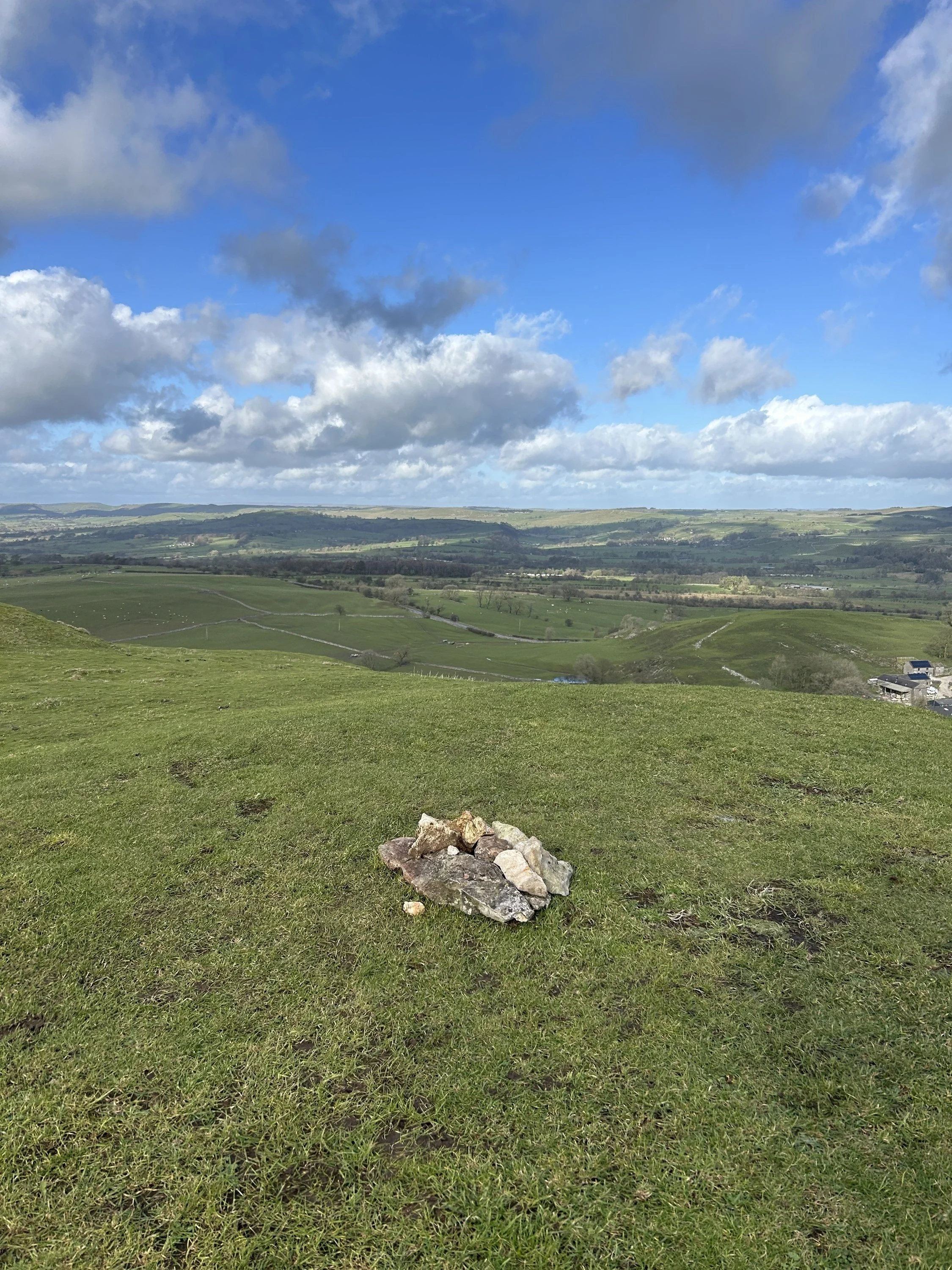
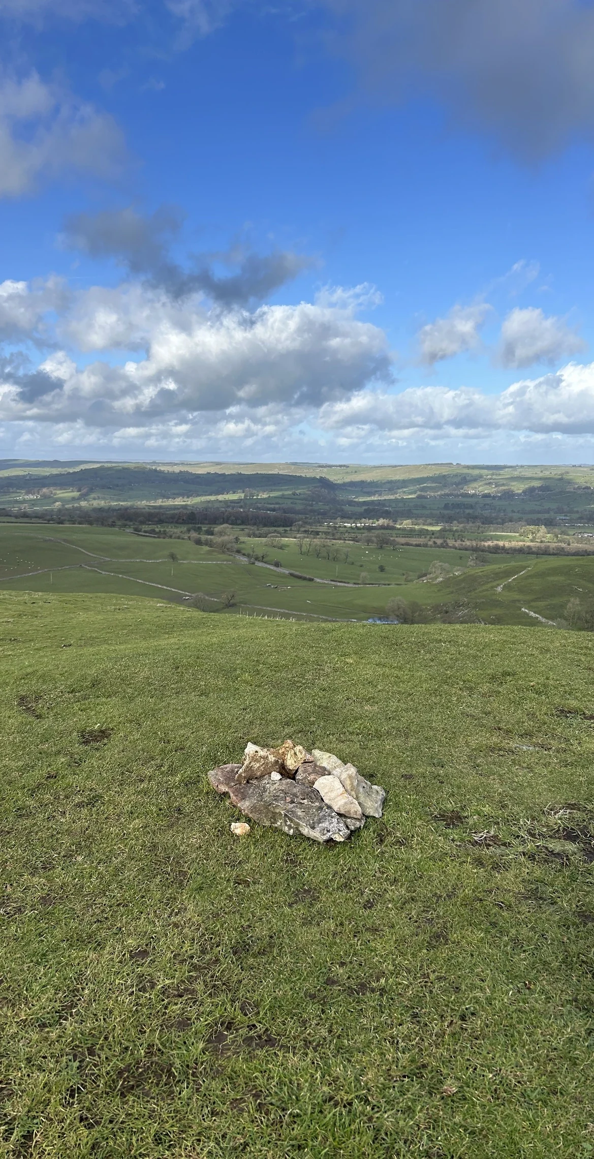
Wetton Hill is a grassy, twin-crested hill above the Manifold valley, cared for by the National Trust, and its highest point is a grassy burial mound. Antiquarians dug into a barrow on the eastern crest in the 1840s and found crouched burials, one in a grave cut into the rock and another in a stone cist with a food vessel and flint tools.
New to the Ethels?Read our guide: What Are The Peak District Ethels?Summit
Grassy tumulus
Rock & Ground
Rounded limestone hill under short grass, with outcrops on the steeper slopes.
Also On These Lists
HuMP
Summit Weather
Our Route
Distance7.7 mi12.4 km
Ascent490 m1,610 ft
Time3h 50mwalking
Start & FinishSK 1091 5516Circular route, back to the same spot
DirectionsAlso on this route: Ecton Hill
Safety: Routes are a guide only. Carry a map and compass and know how to use them, check the weather before you go, and turn back if in doubt. You use this route at your own risk.