

Hill data: The Database of British and Irish Hills v18.6 (CC BY 4.0)Height489 m1,604 ft
Grid RefSK 041 609
OS MapOL24OS Explorer
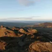
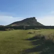
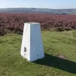
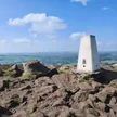
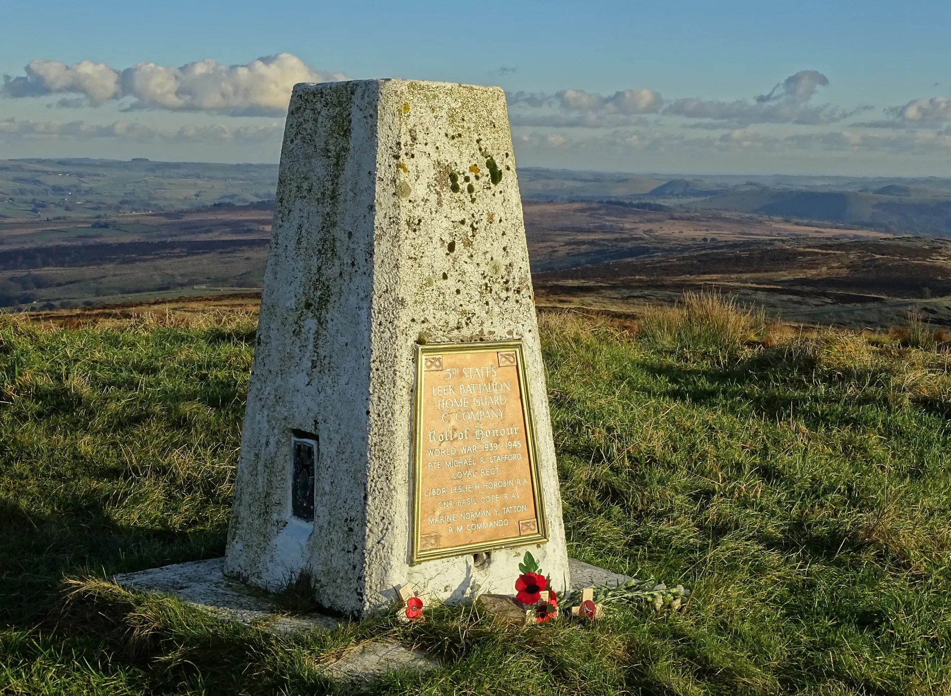
Merryton Low is a moorland rise east of Leek, topped by a Bronze Age burial mound and a trig point that is itself Grade II listed. A plaque on the pillar remembers four local Home Guard men who died serving in the regular army during the Second World War. The trig takes its name from Blake Mere, a small pool to the north-west said to be haunted by a mermaid, and there are views west to The Roaches and Ramshaw Rocks.
New to the Ethels?Read our guide: What Are The Peak District Ethels?Summit
Trig point
Rock & Ground
Heather and rough grass on gritstone moor, often boggy underfoot.
Summit Weather
Our Route
Distance9.2 mi14.8 km
Ascent410 m1,350 ft
Time4h 35mwalking
Start & FinishSK 0859 5868Circular route, back to the same spot
DirectionsAlso on this route: Revidge
Safety: Routes are a guide only. Carry a map and compass and know how to use them, check the weather before you go, and turn back if in doubt. You use this route at your own risk.