


Hill data: The Database of British and Irish Hills v18.6 (CC BY 4.0)Height410 m1,345 ft
Grid RefSK 008 615
OS MapOL24OS Explorer
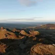
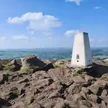
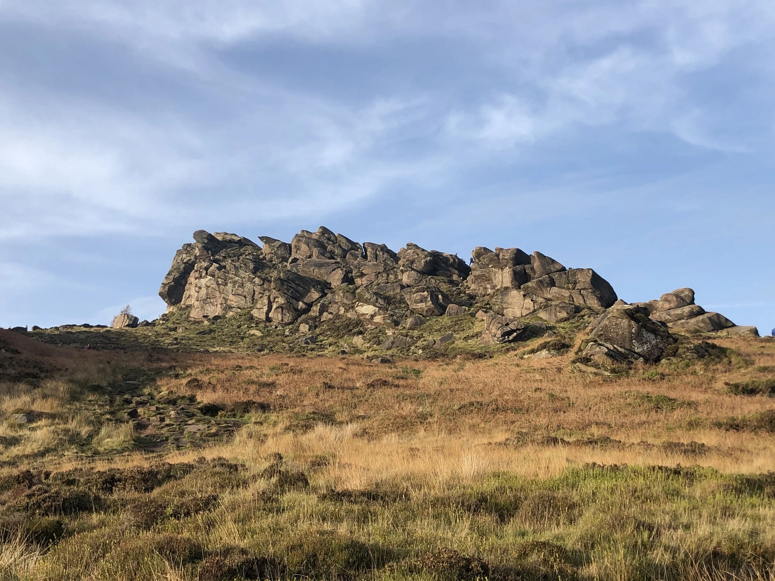
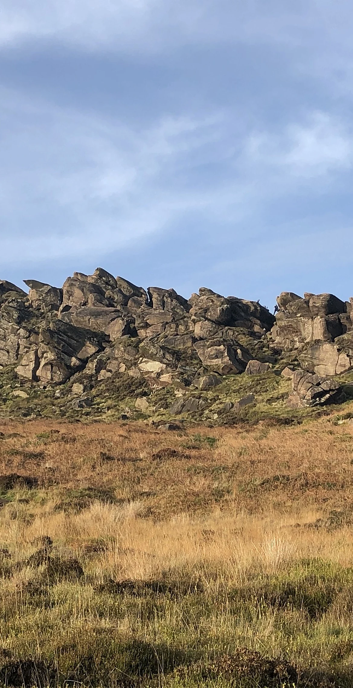
Hen Cloud is the steep, isolated crag at the southern end of the Roaches escarpment, rising sharply above the moorland near Upper Hulme. The highest point is a large boulder among the rocks on top. Its name comes from Old English and is thought to mean 'steep rock'. A fault runs through the col that separates it from The Roaches, and its cliffs are a favourite with climbers.
New to the Ethels?Read our guide: What Are The Peak District Ethels?Summit
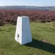
Large boulder
Rock & Ground
Thick Namurian gritstone beds tilting east, forming steep buttresses above heather and bracken.
Summit Weather
Our Route
Distance6.9 mi11.1 km
Ascent430 m1,410 ft
Time3h 30mwalking
Start & FinishSK 0060 6155Circular route, back to the same spot
DirectionsAlso on this route: Ramshaw Rocks, The Roaches
Safety: Routes are a guide only. Carry a map and compass and know how to use them, check the weather before you go, and turn back if in doubt. You use this route at your own risk.