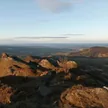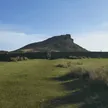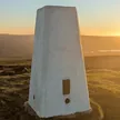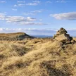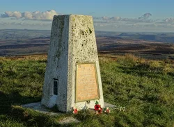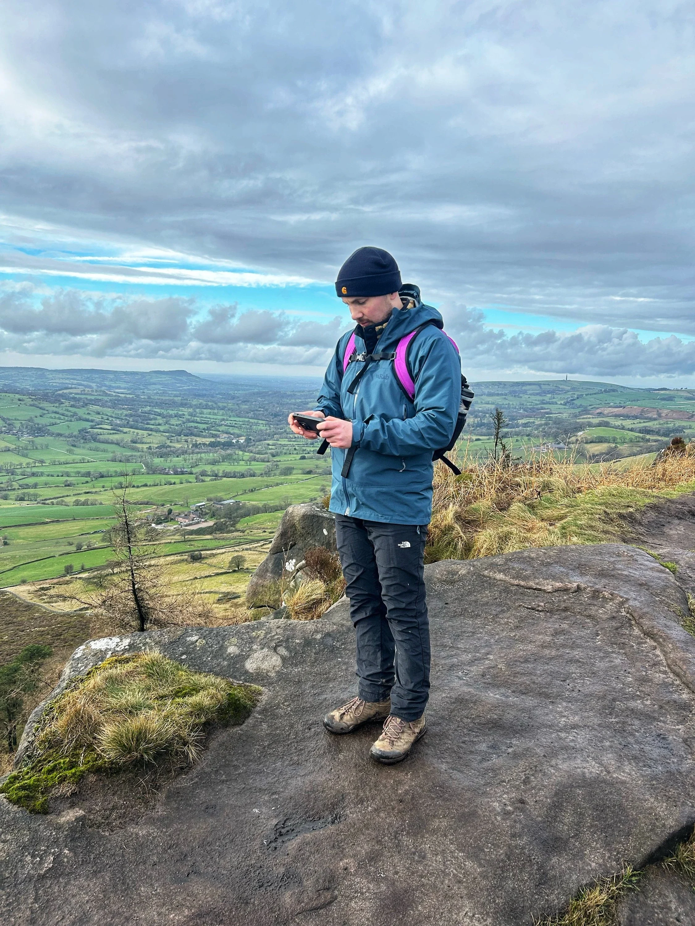



The Roaches is a long gritstone escarpment north of Leek, its crest lined with tiered crags that are hugely popular with climbers. The top is a rock carrying an OS benchmark, a few metres from the trig point, and the name comes from the French 'les roches', the rocks. Doxey Pool, a small pond beside the ridge path, is said to be home to a water spirit, and wallabies released from a private collection in the 1930s lived wild here for decades.
New to the Ethels?Read our guide: What Are The Peak District Ethels?Benchmarked rock
Coarse Roaches Grit sandstone in stepped crags, with heather and peat along the crest.
DeweyHuMP
Summit Weather
Our Route
Also on this route: Hen Cloud, Ramshaw Rocks
Safety: Routes are a guide only. Carry a map and compass and know how to use them, check the weather before you go, and turn back if in doubt. You use this route at your own risk.