


Hill data: The Database of British and Irish Hills v18.6 (CC BY 4.0)Height385.2 m1,264 ft
Grid RefSJ 970 615
OS MapOL24OS Explorer
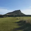
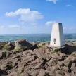
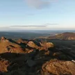
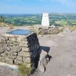
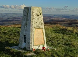
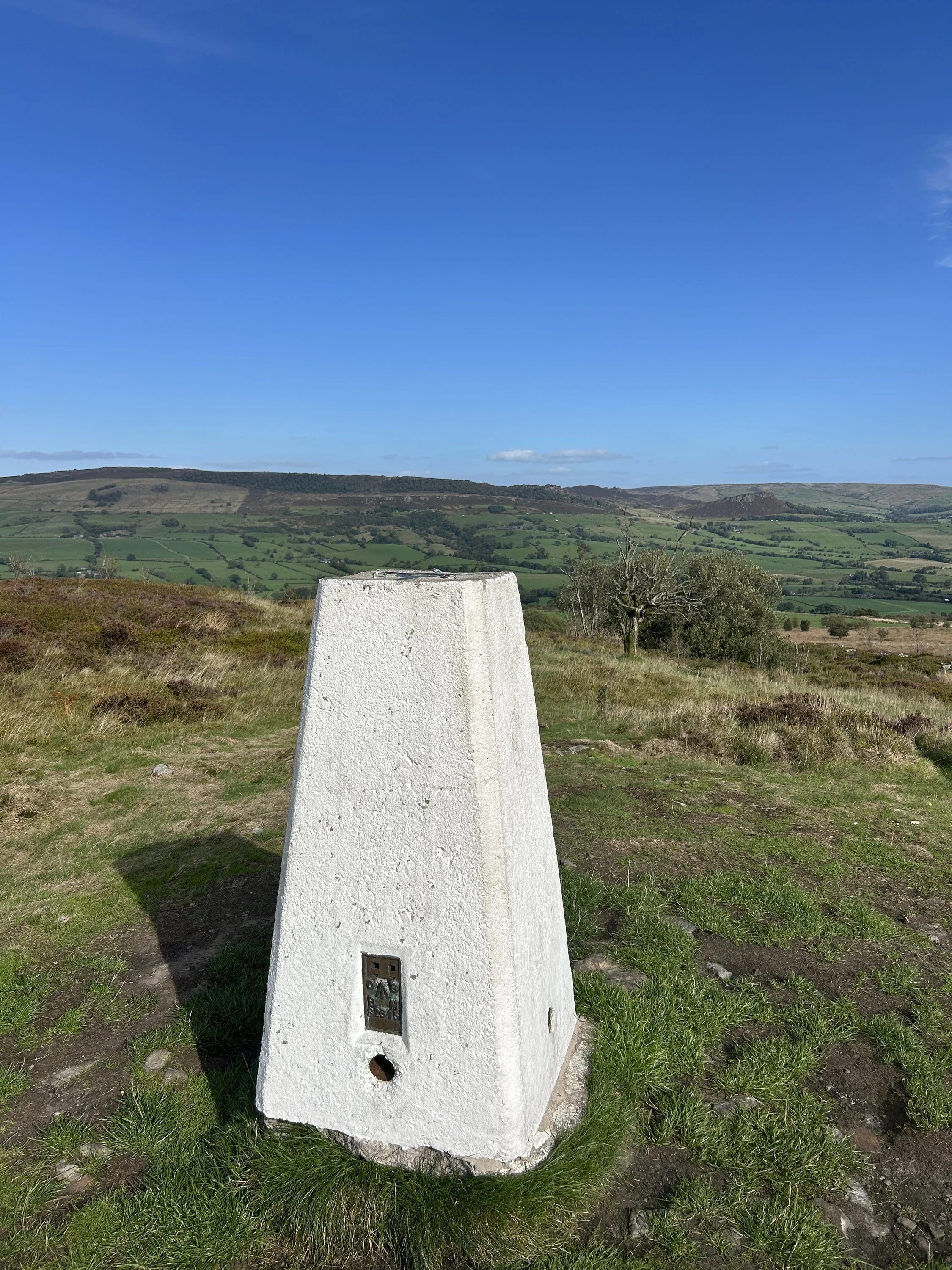
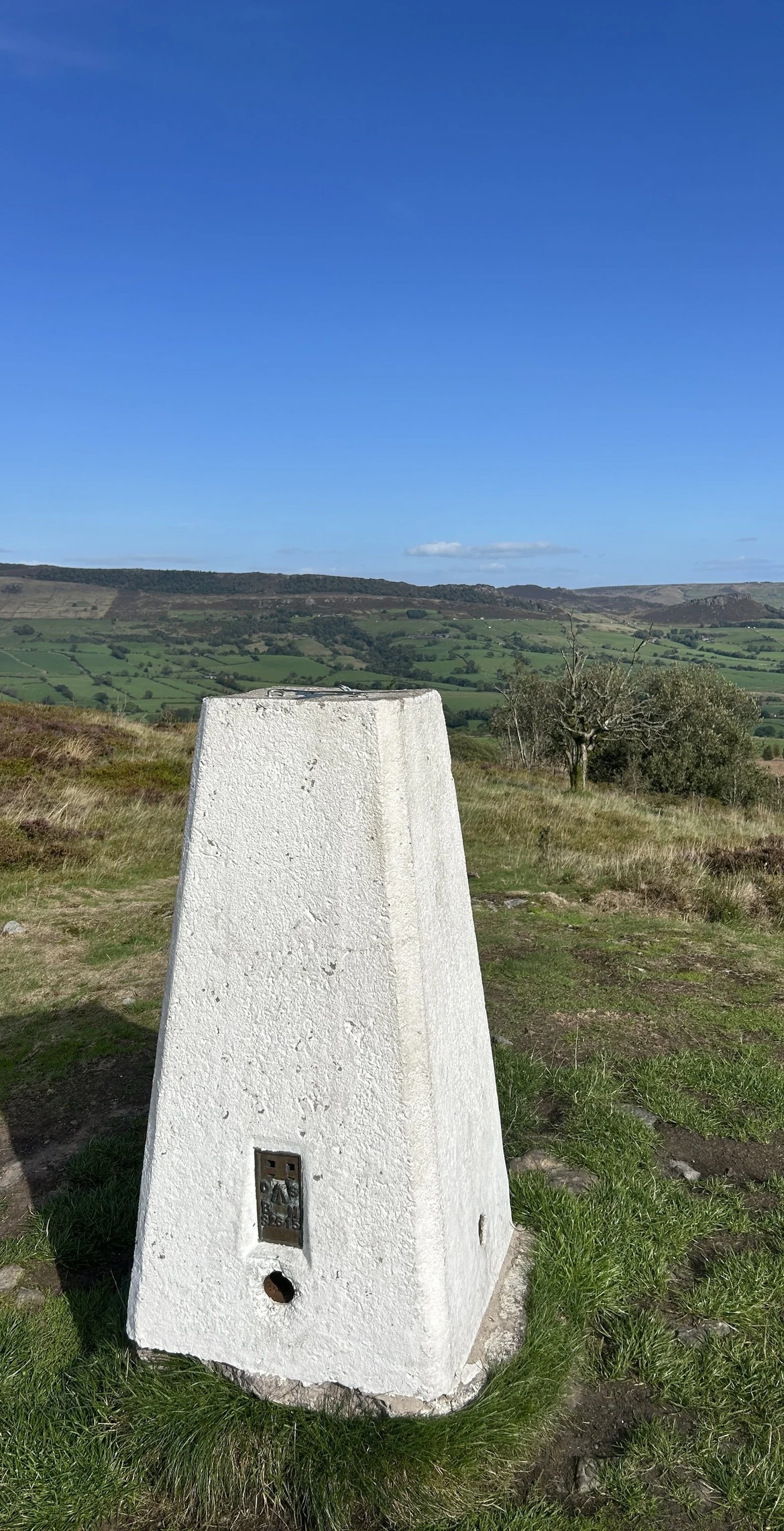
Gun is a lone moorland hill above Leek, looking east to the gritstone crags of The Roaches, Hen Cloud and Ramshaw Rocks. A trig point marks the top. Much of the hill is Gun Moor, a 78-hectare nature reserve bought by Staffordshire Wildlife Trust after it came up for sale in 2019, where bog asphodel flowers in summer. The hill is a regular climb on the Tour of Britain cycle race.
New to the Ethels?Read our guide: What Are The Peak District Ethels?Summit
Trig point
Rock & Ground
Heather moorland and blanket bog, with small woods and pasture on the lower slopes.
Also On These Lists
Marilyn
Summit Weather
Our Route
Distance7.9 mi12.8 km
Ascent320 m1,050 ft
Time4hwalking
Start & FinishSJ 9780 5707Circular route, back to the same spot
DirectionsSafety: Routes are a guide only. Carry a map and compass and know how to use them, check the weather before you go, and turn back if in doubt. You use this route at your own risk.