


Hill data: The Database of British and Irish Hills v18.6 (CC BY 4.0)Height513 m1,683 ft
Grid RefSK 027 675
OS MapOL24OS Explorer
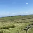
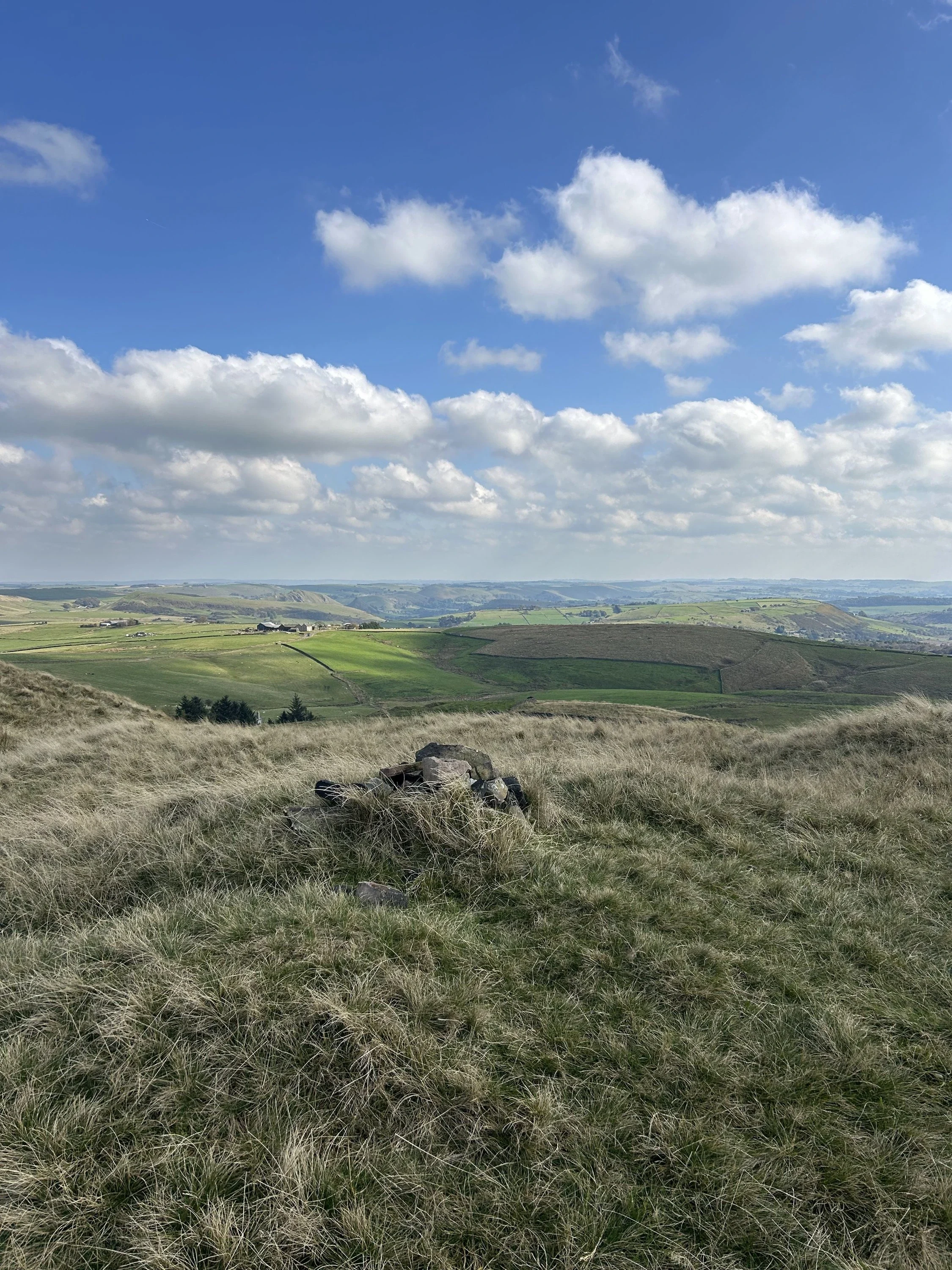
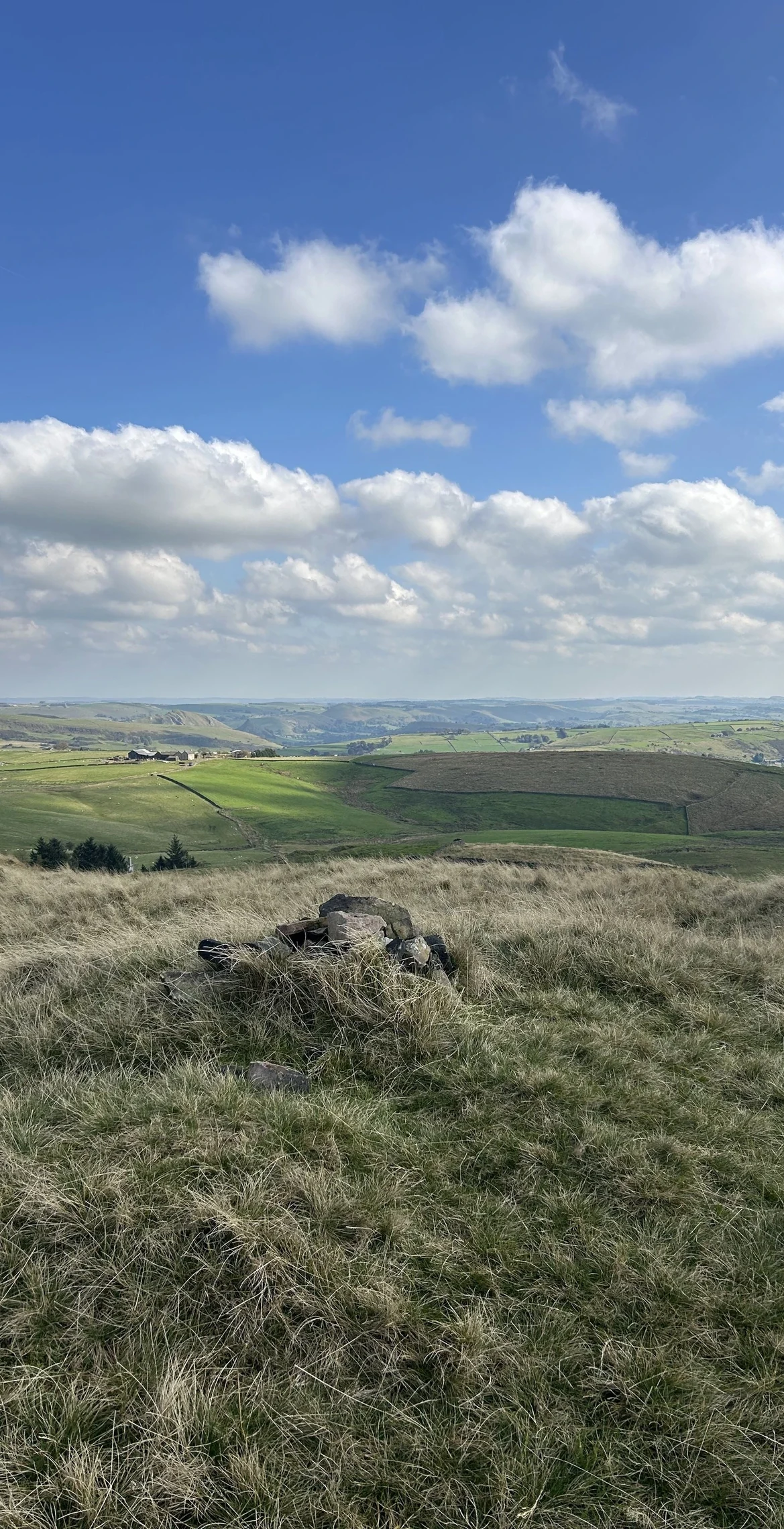
Oliver Hill rises just behind Flash, which claims to be the highest village in England. There's no trig point here, just a tiny cairn beside a cluster of aerials on a treeless, grassy top. The nearby Cheeks Hill is now counted as the highest point in Staffordshire, and the River Manifold rises on the moors just to the south.
New to the Ethels?Read our guide: What Are The Peak District Ethels?Summit
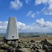
Tiny cairn near aerials
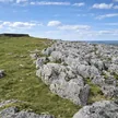
Rock & Ground
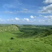
Grassy gritstone hilltop surrounded by walled farmland and rough moor.
Also On These Lists
Dewey
Summit Weather
Our Route
Distance5.2 mi8.4 km
Ascent270 m890 ft
Time2h 35mwalking
Start & FinishSK 0300 6747Circular route, back to the same spot
DirectionsSafety: Routes are a guide only. Carry a map and compass and know how to use them, check the weather before you go, and turn back if in doubt. You use this route at your own risk.