


Hill data: The Database of British and Irish Hills v18.6 (CC BY 4.0)Height519 m1,703 ft
Grid RefSK 193 912
OS MapOL1OS Explorer
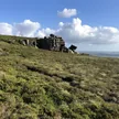
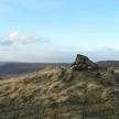
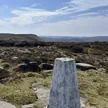
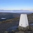
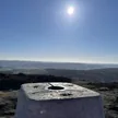
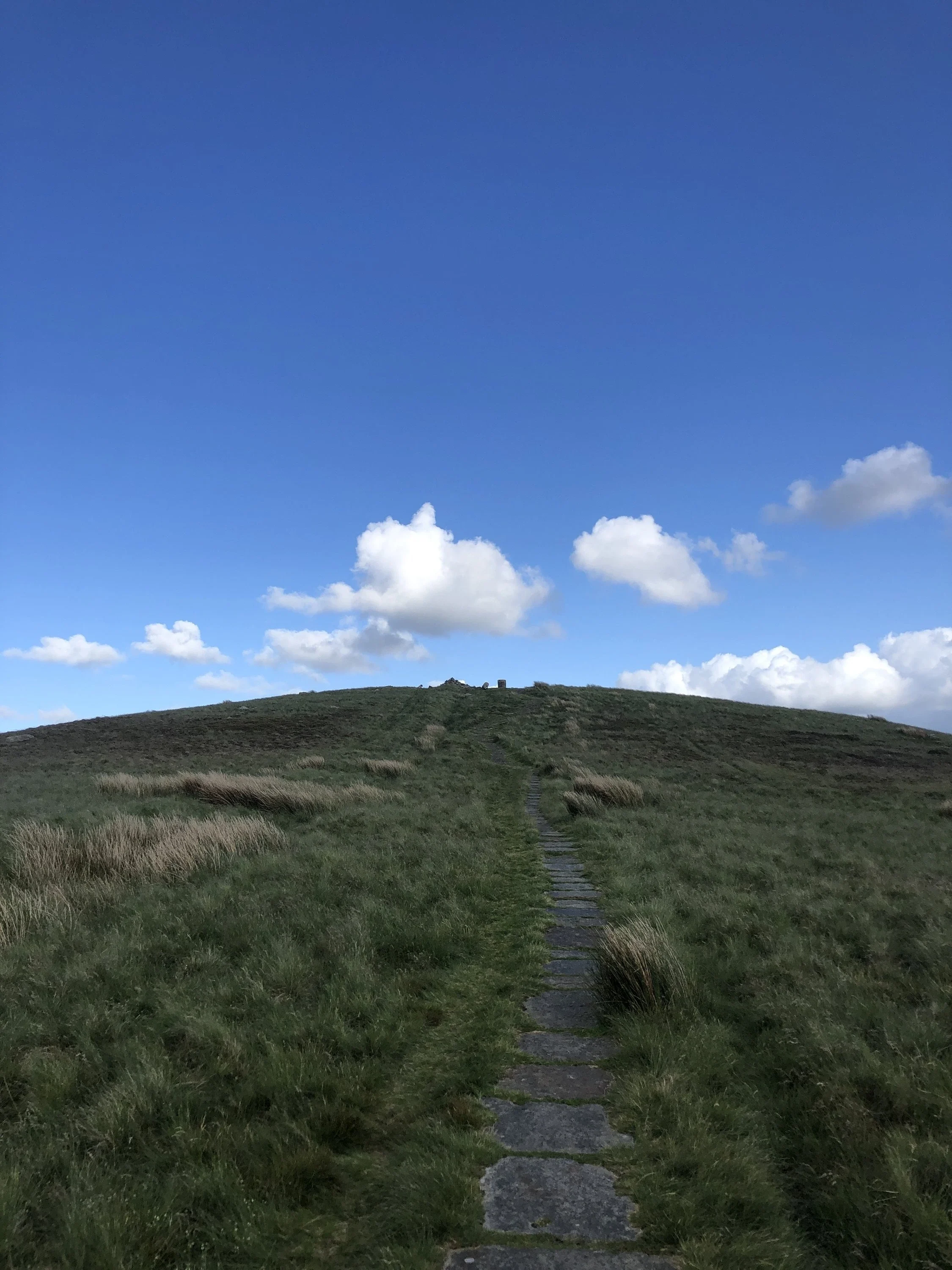
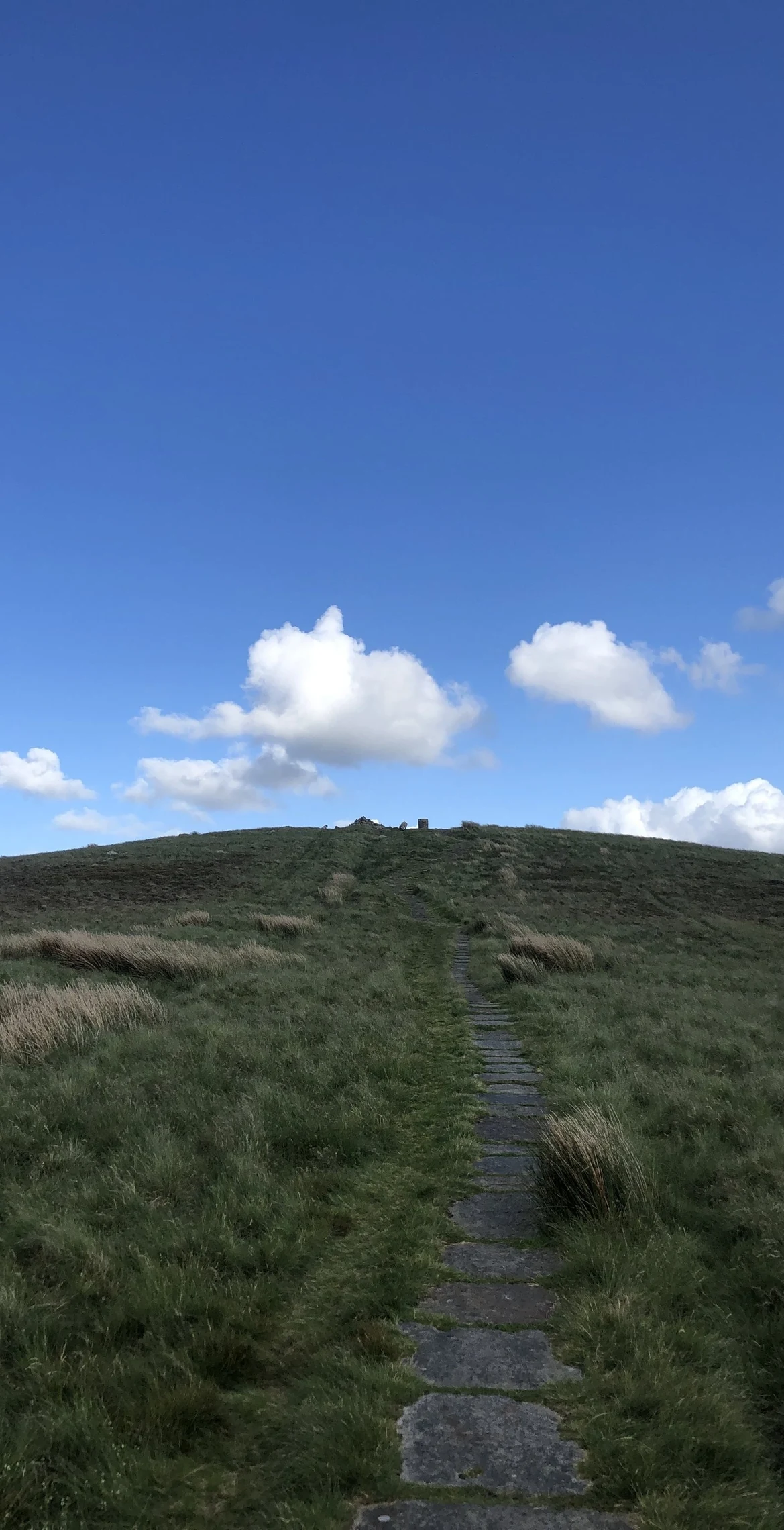
Lost Lad is a bare, rounded moorland top just north of Back Tor, crowned by a large cairn and a view indicator. The name belongs to a local story: a shepherd boy from the old village of Derwent, now under Ladybower Reservoir, was caught in a blizzard and died up here. When he was found the next spring, the words 'Lost Lad' were said to be scratched on a nearby rock.
New to the Ethels?Read our guide: What Are The Peak District Ethels?Summit
Large cairn
Rock & Ground
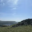
Peat and heather moor over gritstone, with scattered boulders near the top.
Summit Weather
Our Route
Distance7.5 mi12.0 km
Ascent430 m1,410 ft
Time3h 45mwalking
Start & FinishSK 1721 8932Circular route, back to the same spot
DirectionsAlso on this route: Back Tor (Derwent Edge)
Safety: Routes are a guide only. Carry a map and compass and know how to use them, check the weather before you go, and turn back if in doubt. You use this route at your own risk.