


Hill data: The Database of British and Irish Hills v18.6 (CC BY 4.0)Height546 m1,791 ft
Grid RefSK 189 956
OS MapOL1OS Explorer
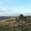
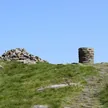
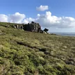
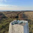
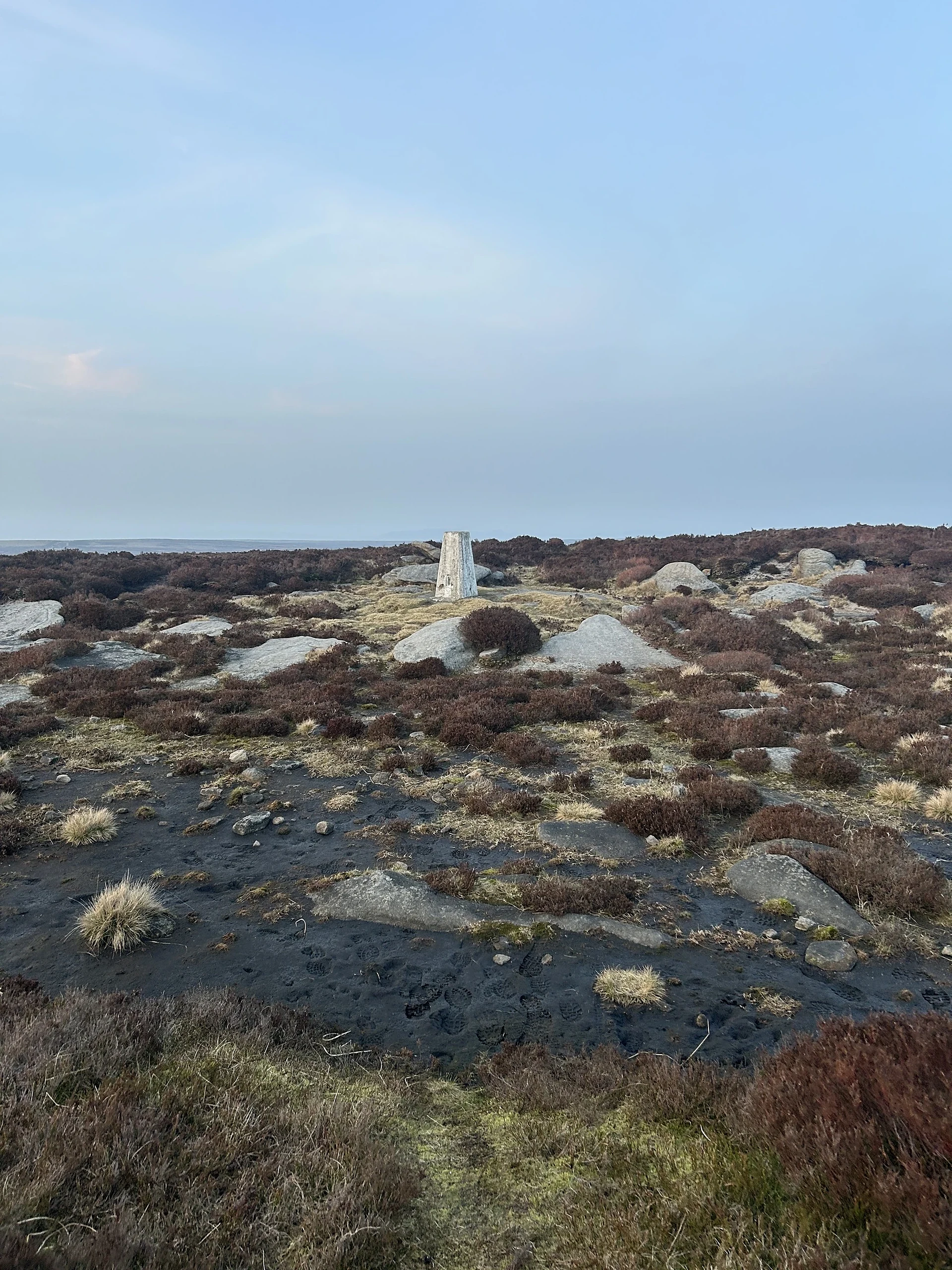
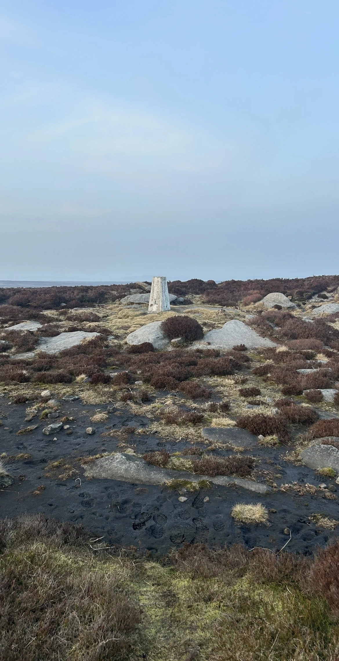
Out on the wild Howden Moors above the Derwent valley, Margery Hill is the highest named point in the City of Sheffield. A trig pillar stands beside a gritstone outcrop, with a small rocky tor a short way to the south-east. Nearby is a cairn thought to be part of a Bronze Age burial mound, and peat around it has been dated to about 3,500 years old.
New to the Ethels?Read our guide: What Are The Peak District Ethels?Summit
Rock 4 m from trig pillar
Rock & Ground
Gritstone outcrops on a broad plateau of peat and heather moorland.
Summit Weather
Our Route
Distance10.3 mi16.5 km
Ascent560 m1,840 ft
Time5h 10mwalking
StartSK 1721 8929Grid reference of the start
DirectionsAlso on this route: High Stones (Howden Edge)
Safety: Routes are a guide only. Carry a map and compass and know how to use them, check the weather before you go, and turn back if in doubt. You use this route at your own risk.