


Hill data: The Database of British and Irish Hills v18.6 (CC BY 4.0)Height463.4 m1,520 ft
Grid RefSK 186 850
OS MapOL1OS Explorer
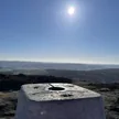
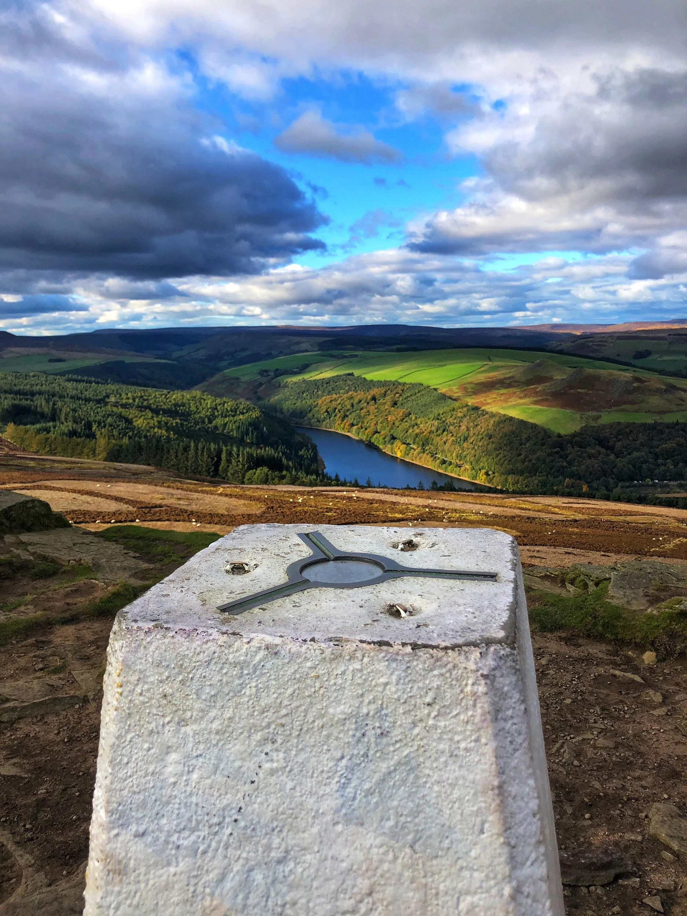
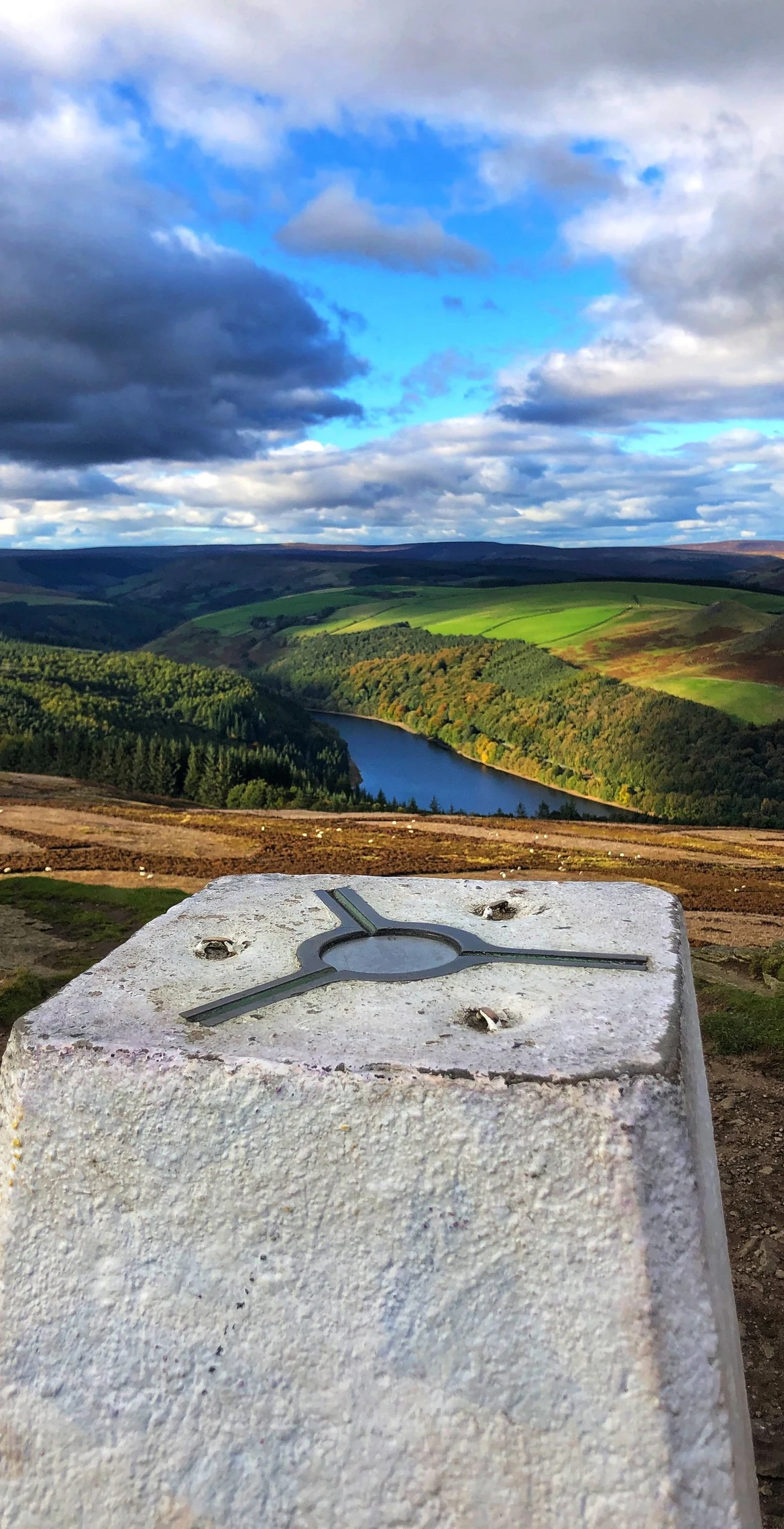
Win Hill's rocky summit knob, known locally as the Pimple, has a trig point and looks down on Ladybower Reservoir and the valleys of the Derwent and Noe. A popular story says it and Lose Hill were named after a 7th-century battle, but there's no evidence for it, and an old form of the name, Wythinehull, points to 'willow hill'. To the north, a Roman road crosses the ridge at Hope Cross, a waymarker dated 1737.
New to the Ethels?Read our guide: What Are The Peak District Ethels?Summit
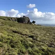
Outcrop 12 m WSW of trig point
Rock & Ground
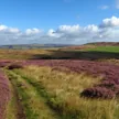
Gritstone outcrops on a heather and bracken ridge, with conifer plantations above the reservoir.
Also On These Lists
HuMP
Summit Weather
Our Route
Distance6.5 mi10.4 km
Ascent420 m1,380 ft
Time3h 15mwalking
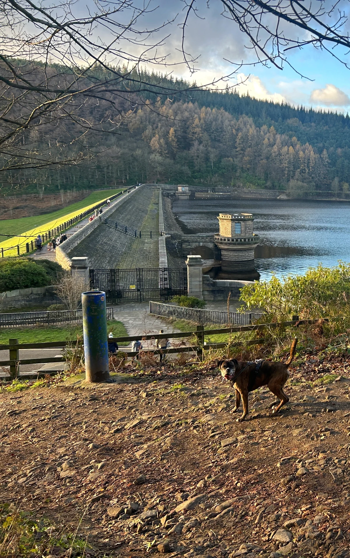
Start & FinishSK 2022 8585Circular route, back to the same spot
DirectionsSafety: Routes are a guide only. Carry a map and compass and know how to use them, check the weather before you go, and turn back if in doubt. You use this route at your own risk.