


Hill data: The Database of British and Irish Hills v18.6 (CC BY 4.0)Height458 m1,503 ft
Grid RefSK 227 853
OS MapOL1OS Explorer
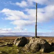
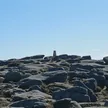
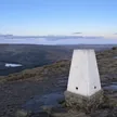
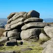
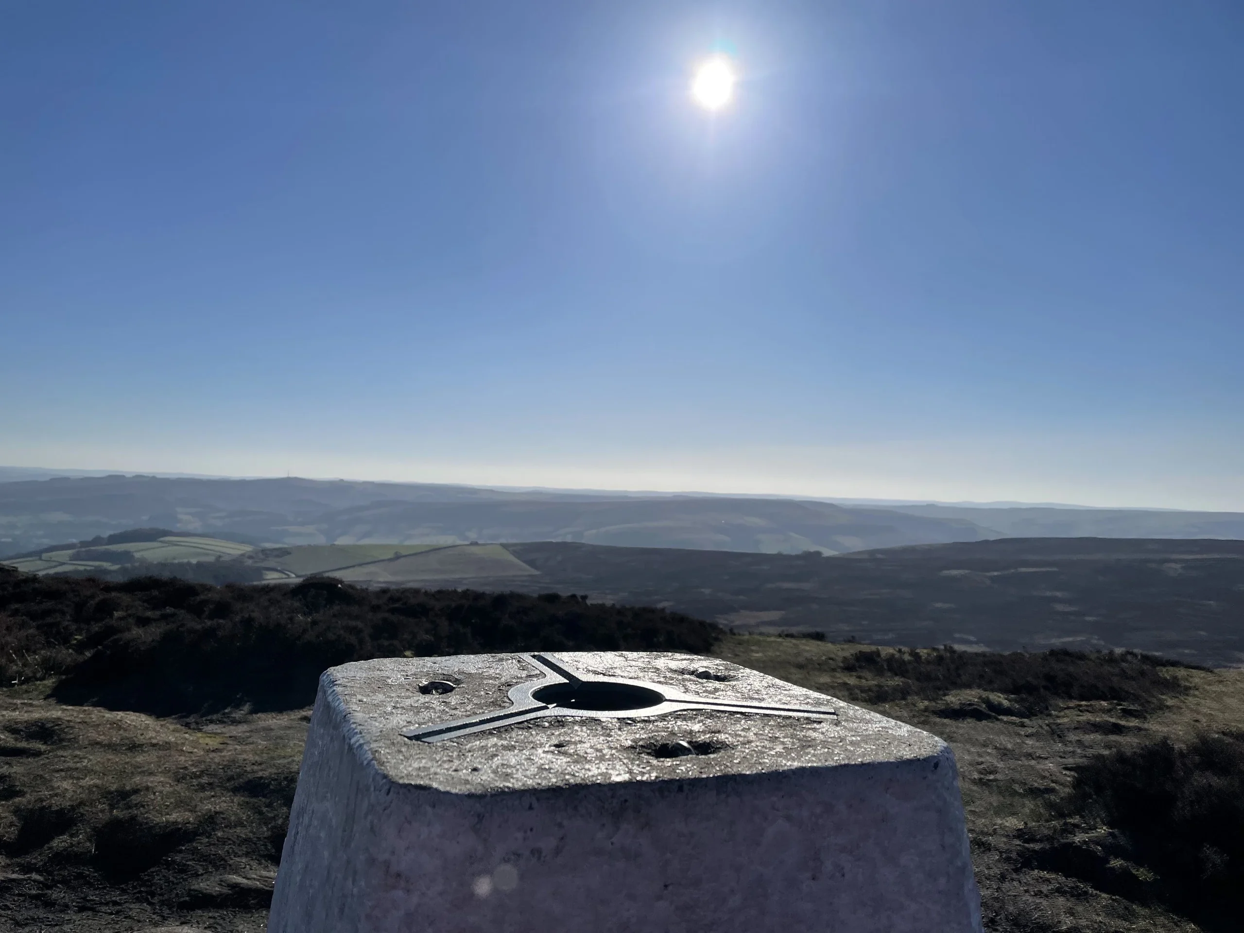
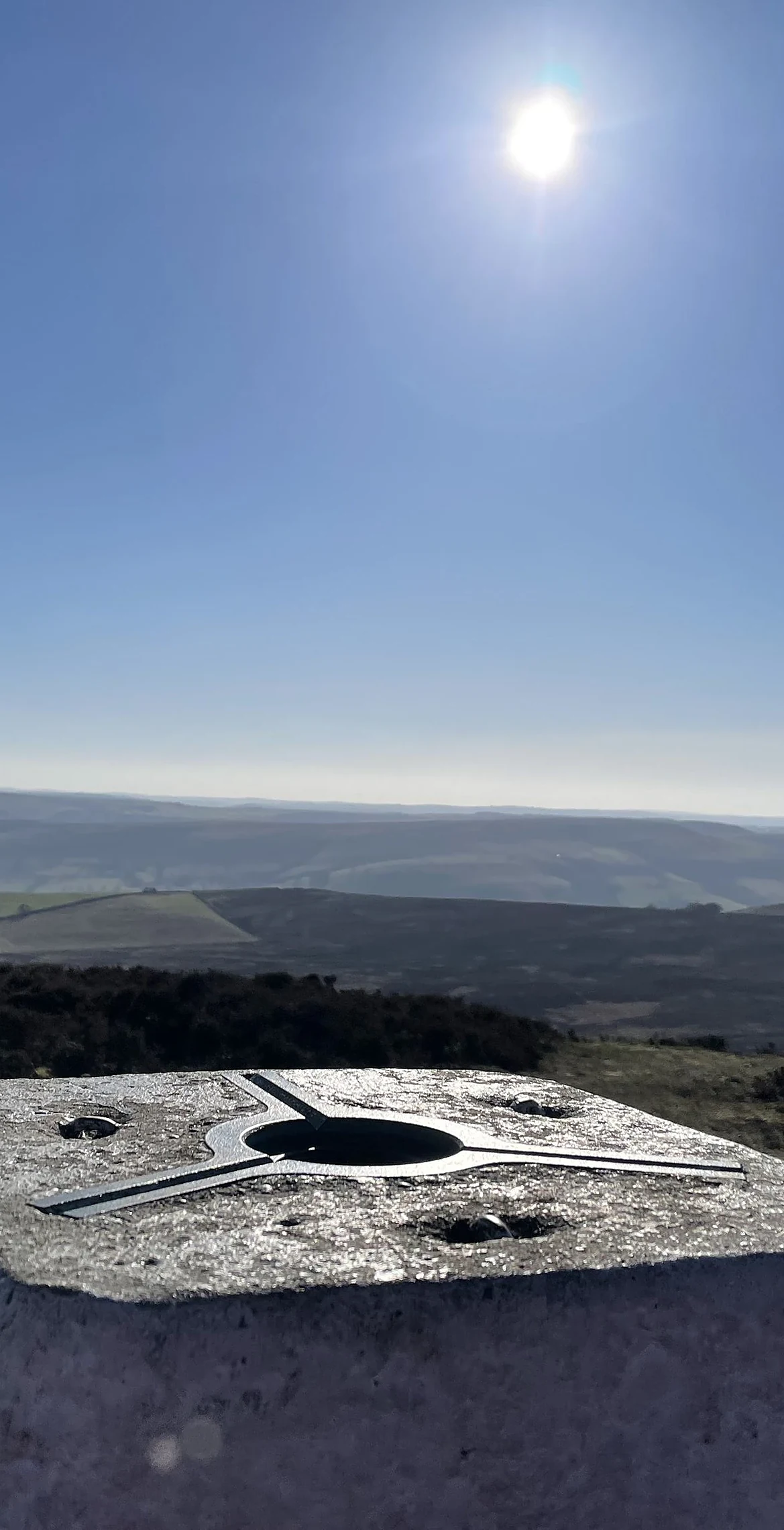
High Neb is the highest point of Stanage Edge, the long gritstone cliff that stretches about 5 km above Hathersage. The trig point is not quite the top: a rock outcrop a short way west-north-west is slightly higher. Below the edge lie unfinished millstones, cut but never taken away. Along the top are small basins carved in the early 1900s to catch rainwater for grouse, each one numbered.
New to the Ethels?Read our guide: What Are The Peak District Ethels?Summit
Outcrop 40 m WNW of trig point
Rock & Ground
Millstone grit edge with a sheer face, boulder slopes below and heather moor behind.
Also On These Lists
HuMP
Summit Weather
Our Route
Distance11.1 mi17.9 km
Ascent400 m1,310 ft
Time5h 35mwalking
Start & FinishSK 2916 8375Circular route, back to the same spot
DirectionsAlso on this route: Higger Tor, Stanedge Pole, White Path Moss
Safety: Routes are a guide only. Carry a map and compass and know how to use them, check the weather before you go, and turn back if in doubt. You use this route at your own risk.