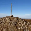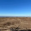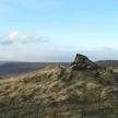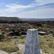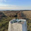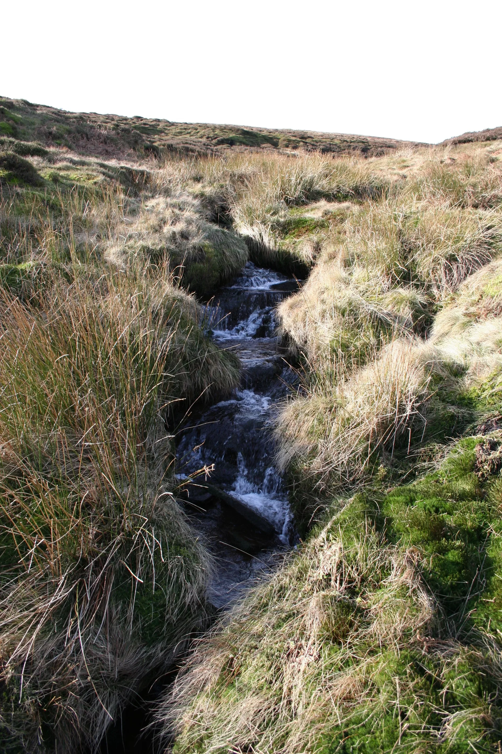

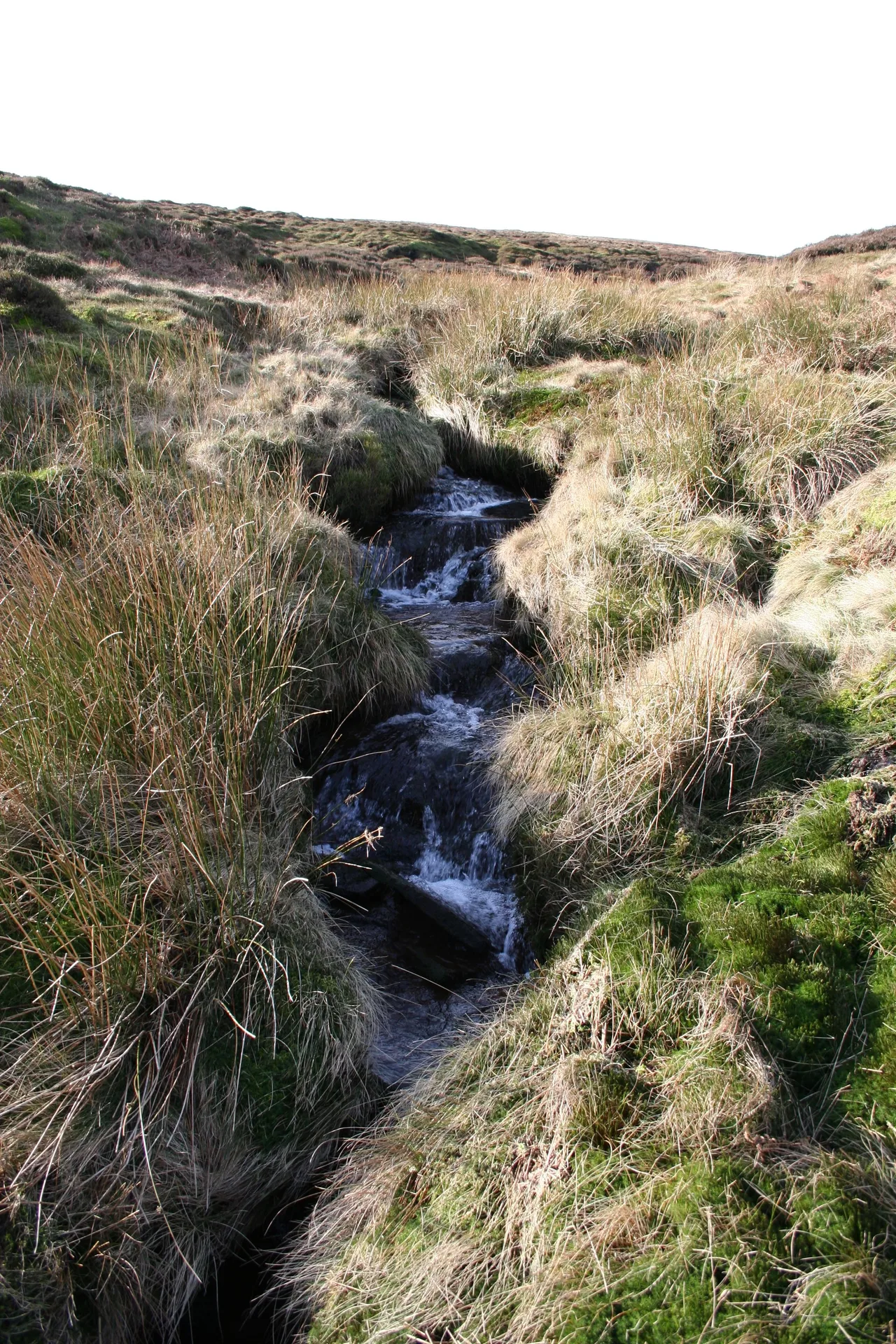


Alport Moor is a wide, flat top on the southern edge of Bleaklow, where the highest ground is grass and heather with nothing at all to mark it. It's one of the quieter Ethels, and much of our route crosses open moor with no path. About 4 km to the south-east, down the Alport valley, are Alport Castles, thought to be the largest landslip in the UK.
New to the Ethels?Read our guide: What Are The Peak District Ethels?No marker: grass and heather
Dark Peak moorland of peat, grass and heather over gritstone, flat and boggy on top.
Summit Weather
Our Route
No path for 2.6 kmAbout 2.6 km of this route has no path on the map (longest stretch 1.2 km). Expect rough, pathless ground. You will need a map and compass and the skills to use them.
Also on this route: Featherbed Top
Safety: Routes are a guide only. Carry a map and compass and know how to use them, check the weather before you go, and turn back if in doubt. You use this route at your own risk.