


Hill data: The Database of British and Irish Hills v18.6 (CC BY 4.0)Height499 m1,637 ft
Grid RefSE 124 017
OS MapOL1OS Explorer
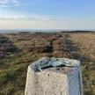
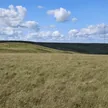
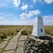
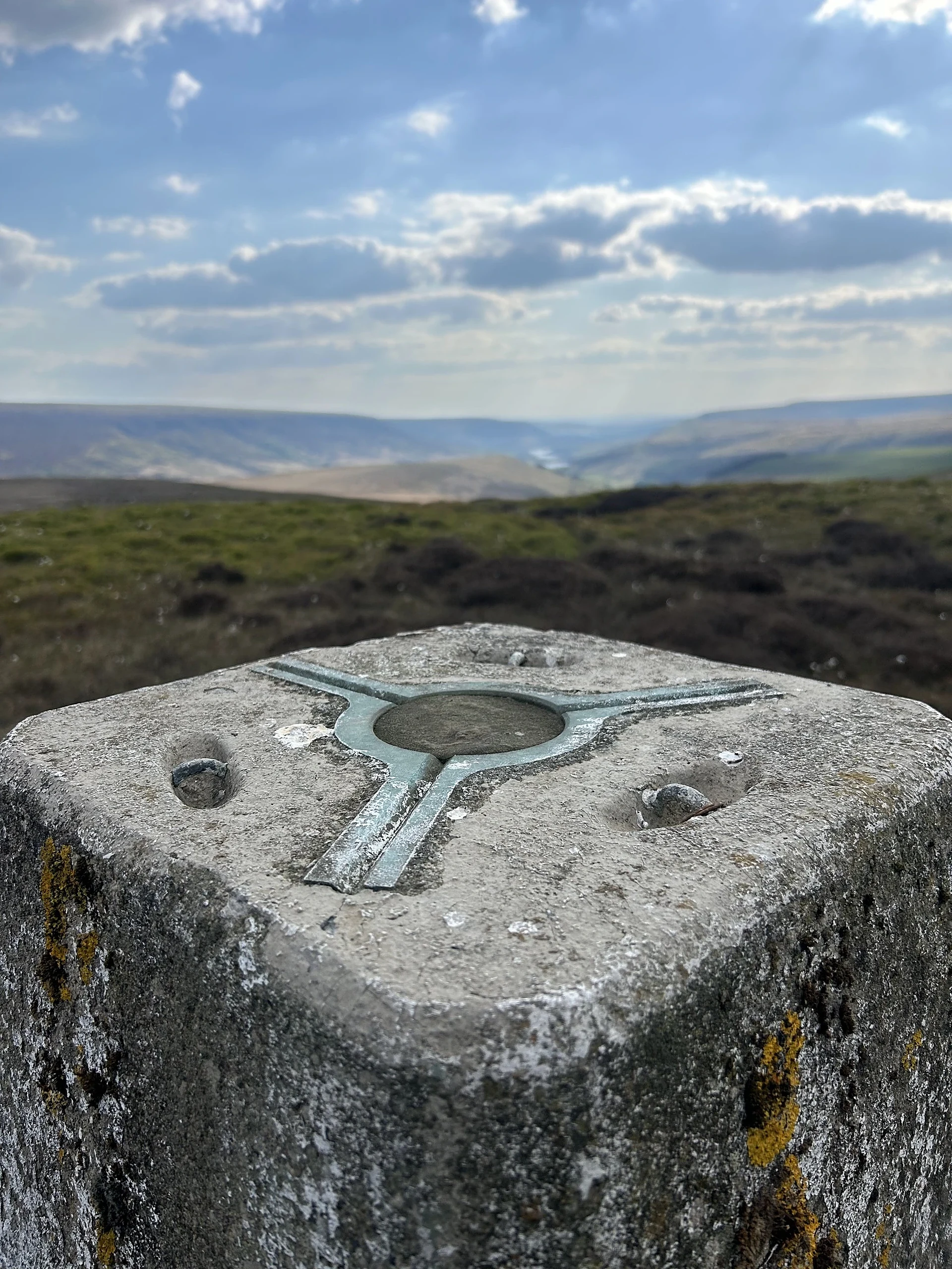
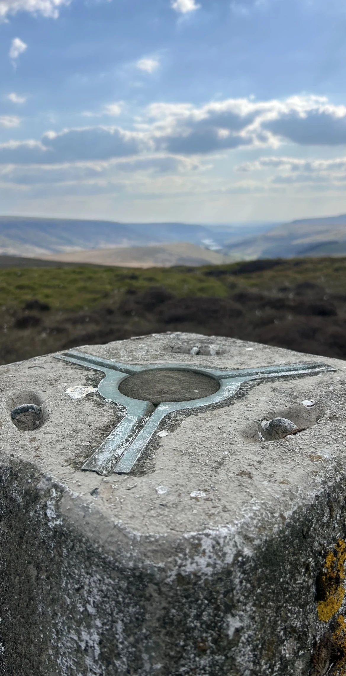
At the eastern end of a long, lonely moorland edge, Dead Edge End looks down on Winscar Reservoir and the hamlet of Dunford Bridge. The top is marked by a trig point, although the ground a few metres to the south may be just as high. It sits on the boundary between South Yorkshire and Derbyshire.
New to the Ethels?Read our guide: What Are The Peak District Ethels?Summit
Trig point
Rock & Ground
Millstone grit buried under blanket peat, with heather, cotton grass and wet mossy hollows.
Summit Weather
Our Route
Distance9.2 mi14.8 km
Ascent360 m1,180 ft
Time4h 35mwalking
Start & FinishSE 1529 0204Circular route, back to the same spot
DirectionsAlso on this route: Britland Edge Hill, Snailsden Pike End
Safety: Routes are a guide only. Carry a map and compass and know how to use them, check the weather before you go, and turn back if in doubt. You use this route at your own risk.