

Hill data: The Database of British and Irish Hills v18.6 (CC BY 4.0)Height361 m1,184 ft
Grid RefSK 118 500
OS Map259: Derby
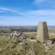
Musden Low is a limestone hill near Ilam, just west of the Manifold. The summit carries a Bronze Age barrow, partly cut away by quarrying, where antiquarians found burials, a stone cist, flints and pottery. Further barrows lie on the slopes nearby. The summit is on private land.
New to the Ethels?Read our guide: What Are The Peak District Ethels?Summit
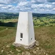
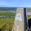
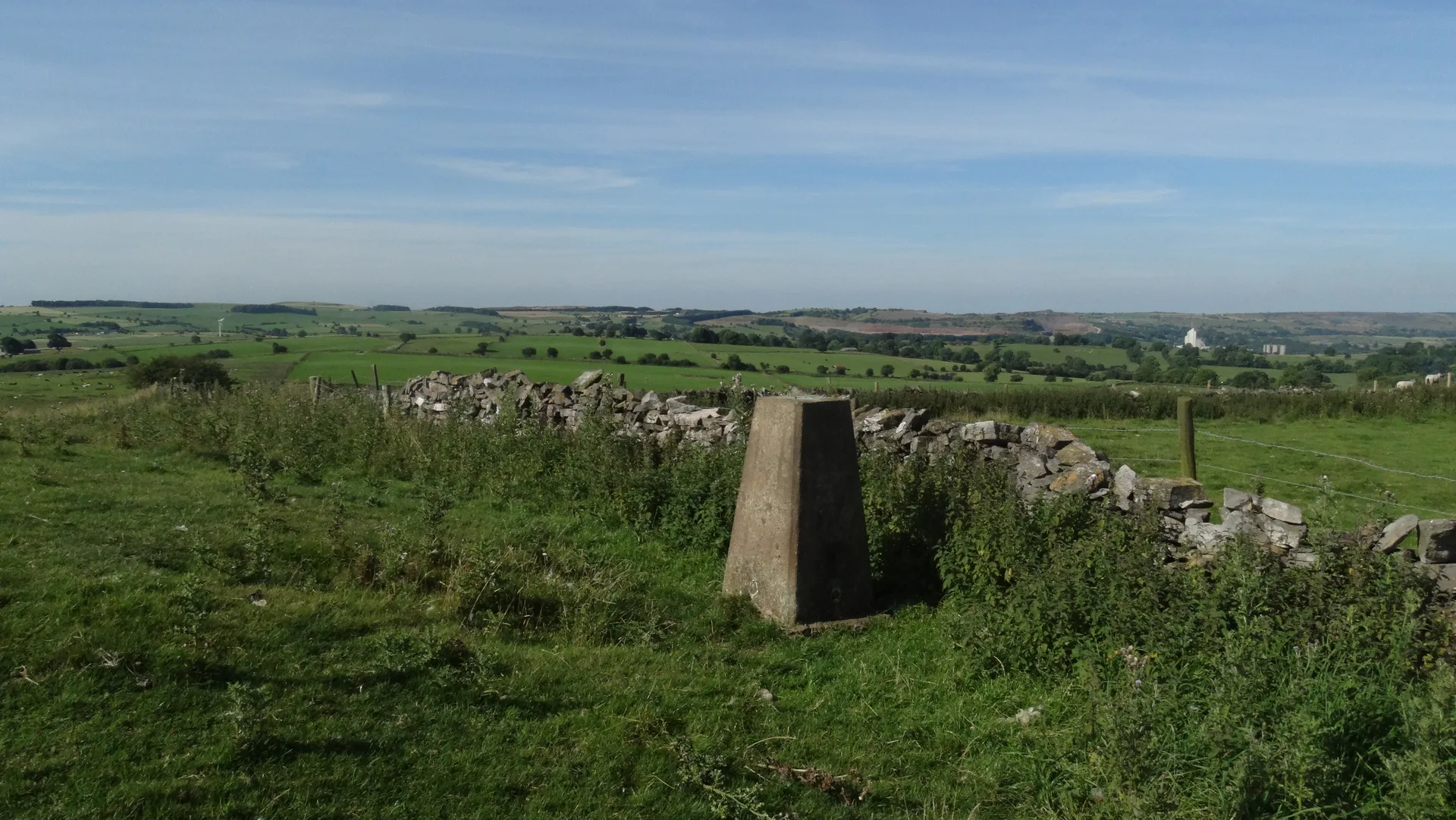
Ground c8m NNE of trig
Rock & Ground
Limestone hill with grassy pasture, walled fields and old quarry scars.
Summit Weather
Our Route
Distance8.8 mi14.1 km
Ascent470 m1,540 ft
Time4h 25mwalking
Start & FinishSK 1309 5072Circular route, back to the same spot
DirectionsSafety: Routes are a guide only. Carry a map and compass and know how to use them, check the weather before you go, and turn back if in doubt. You use this route at your own risk.