


Hill data: The Database of British and Irish Hills v18.6 (CC BY 4.0)Height369 m1,211 ft
Grid RefSK 151 526
OS MapOL24OS Explorer
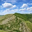
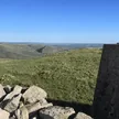
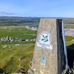
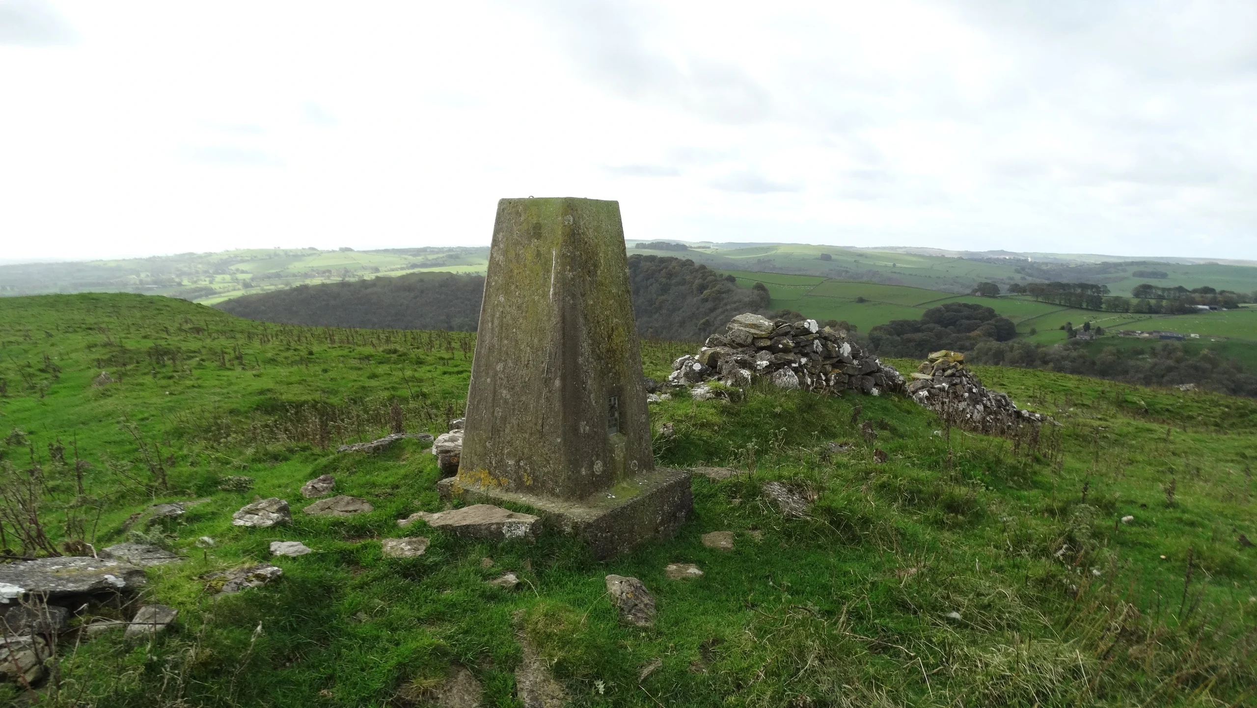
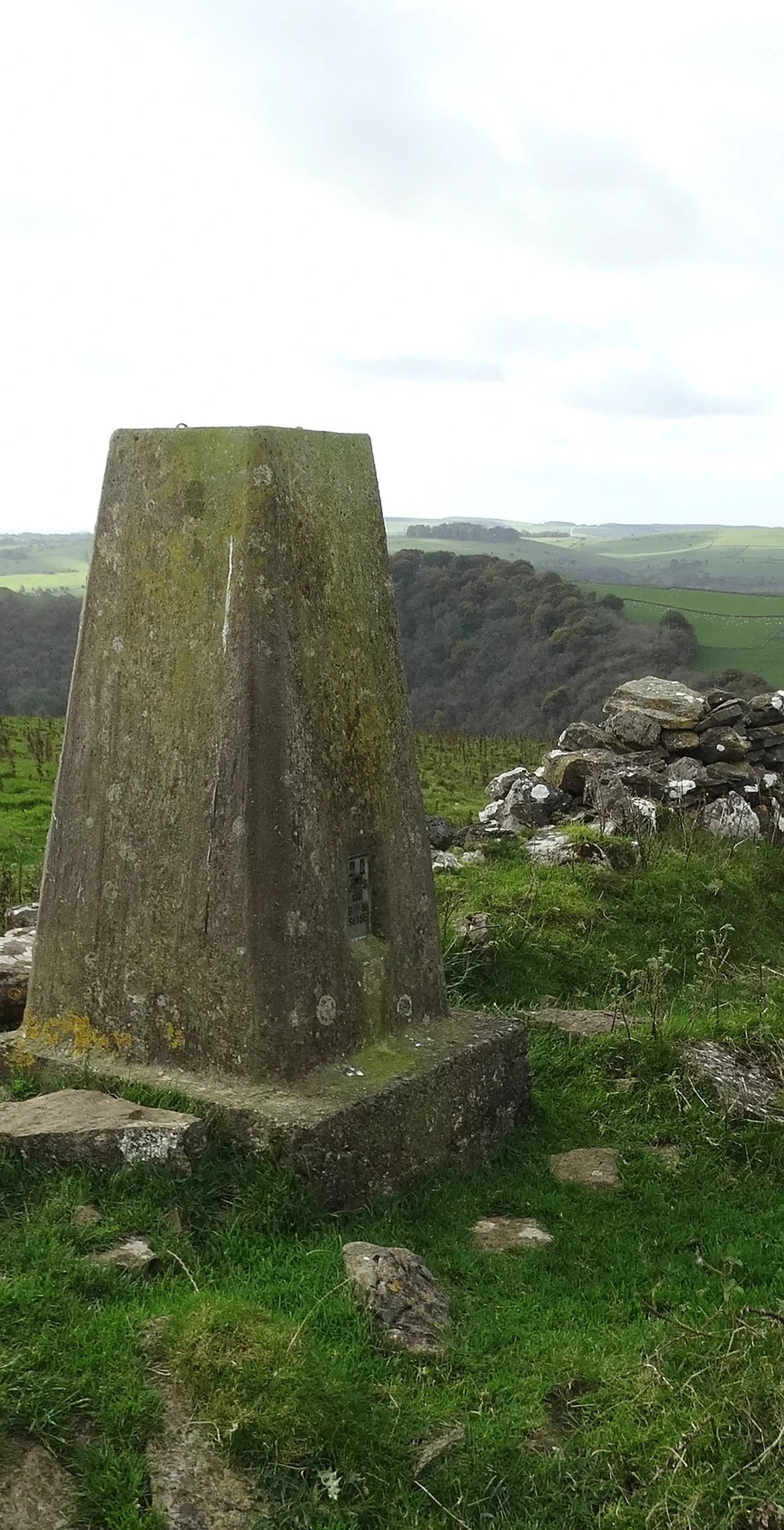
Tissington Hill rises above the east side of Dovedale, and shares its other name, Reynard's Cave Hill, with the cave and natural rock arch in the dale cliffs below. Digs in the cave have turned up Neolithic flints, Roman pottery and a coin of Henry III. The highest ground is a grassy spot near the trig point, though a burial mound about 240 m east may be just as high. The summit is on private land.
New to the Ethels?Read our guide: What Are The Peak District Ethels?Summit
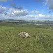
Ground c4m from trig point
Rock & Ground
Rolling limestone farmland, grassy on top, falling steeply to the crags of Dovedale.
Summit Weather
Our Route
Distance9.6 mi15.4 km
Ascent480 m1,570 ft
Time4h 50mwalking
Start & FinishSK 1778 5206Circular route, back to the same spot
DirectionsSafety: Routes are a guide only. Carry a map and compass and know how to use them, check the weather before you go, and turn back if in doubt. You use this route at your own risk.