

Hill data: The Database of British and Irish Hills v18.6 (CC BY 4.0)Height287 m942 ft
Grid RefSK 151 509
OS Map259: Derby
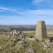
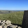
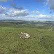
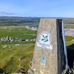
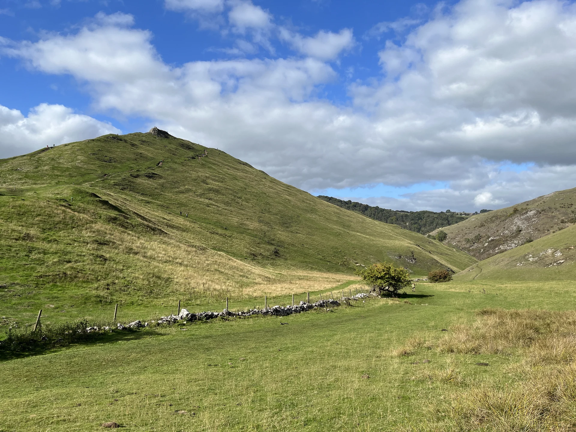
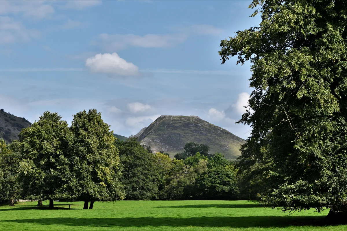
Guarding the southern entrance to Dovedale, Thorpe Cloud is a steep, isolated knoll of reef limestone, and its summit is a rocky outcrop at the south-east end of a short, narrow ridge. 'Cloud' comes from the Old English clud, a hill. The top looks north up Dovedale and south over the Midland plain, and around midsummer, from the right spot, the sun can be seen setting behind it twice.
New to the Ethels?Read our guide: What Are The Peak District Ethels?Summit
Rocky outcrop at south-east end ridge
Rock & Ground
Carboniferous reef limestone, with steep grass slopes and a narrow, rocky summit ridge.
Summit Weather
Our Route
Distance9.8 mi15.7 km
Ascent360 m1,180 ft
Time4h 55mwalking
Start & FinishSK 1572 5038Circular route, back to the same spot
DirectionsSafety: Routes are a guide only. Carry a map and compass and know how to use them, check the weather before you go, and turn back if in doubt. You use this route at your own risk.