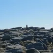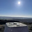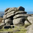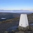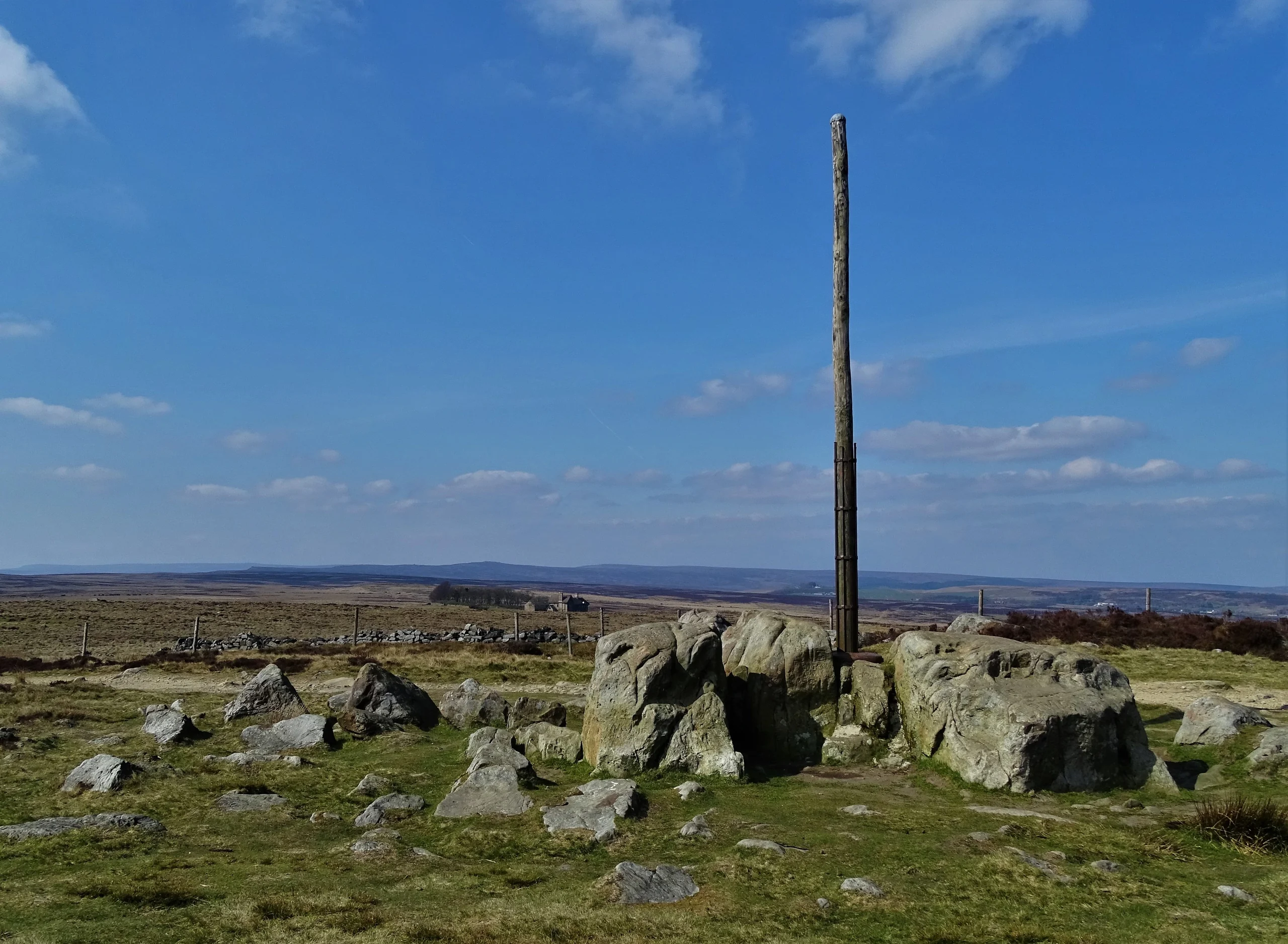

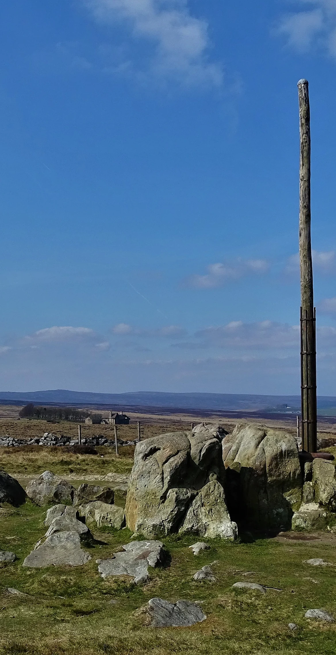


A tall wooden pole set into a rocky outcrop has marked this spot on the moor behind Stanage Edge since at least 1550, guiding travellers on the Long Causeway, the old packhorse road west from Sheffield. Initials and dates cut into the rock record the road surveyors who renewed it between 1550 and 1740. The rotten pole was cut down in 2015, and a new larch pole in an iron base cast in Sheffield went up the following year. It also marks the Derbyshire and South Yorkshire boundary.
New to the Ethels?Read our guide: What Are The Peak District Ethels?Outcrop and iron post
Gritstone outcrop on open heather moorland, with the Long Causeway track passing close by.
Summit Weather
Our Route
Also on this route: Higger Tor, High Neb (Stanage Edge), White Path Moss
Safety: Routes are a guide only. Carry a map and compass and know how to use them, check the weather before you go, and turn back if in doubt. You use this route at your own risk.